.svg)
Wardha River
| Wardha | |
|---|---|
 Wardha river at Pulgaon | |
| Location | |
| Country | India |
| Physical characteristics | |
| Source | |
| • location | Multai |
| Mouth | |
• location | Pranahita |
| Length | 528 km (328 mi) |
| Basin features | |
| Progression | Madhya Pradesh, Maharashtra, Telangana |
| Tributaries | |
| • left | Kar, Wena, Jam, Erai |
| • right | Madu, Bembla, Penganga |
The Wardha River, also known as the Varada River, is a major river in Vidarbha, Maharashtra, which originates in the Satpura Range and flows into the Wainganga River.[1][2][3]
Origin[edit]
The Wardha river originates at an altitude of 777 m (2,549 ft) in the Satpura Range near Khairwani village in Multai tehsil, Betul District, Madhya Pradesh.
Course[edit]
From its origin, it flows for 32 km (20 mi) in Madhya Pradesh and then enters into Maharashtra. After travelling for another 528 km (328 mi), it joins the Wainganga, forming the Pranahita, which ultimately flows into the Godavari River.
Tributaries[edit]
The Kar, Wena, Jam, and Erai are its left-bank tributaries, while the Madu, Bembala, and Penganga are its right-bank tributaries.
Dams[edit]
The Upper Wardha Dam is located on the Wardha river near Morshi. It is considered a lifeline for the city of Amravati and the Morshi and Warud Talukas.[4] The Lower Wardha Dam is located near Warud Bagaji and Dhanodi in Amravati District. It caters to Wardha District. A dam on the Bembala River has been constructed near Babhulgaon in Yavatmal district, and is considered a lifeline for part of Yavatmal.
Notes[edit]
- ↑ Template:GEOnet2, United States National Geospatial-Intelligence Agency
- ↑ Template:GEOnet2, United States National Geospatial-Intelligence Agency
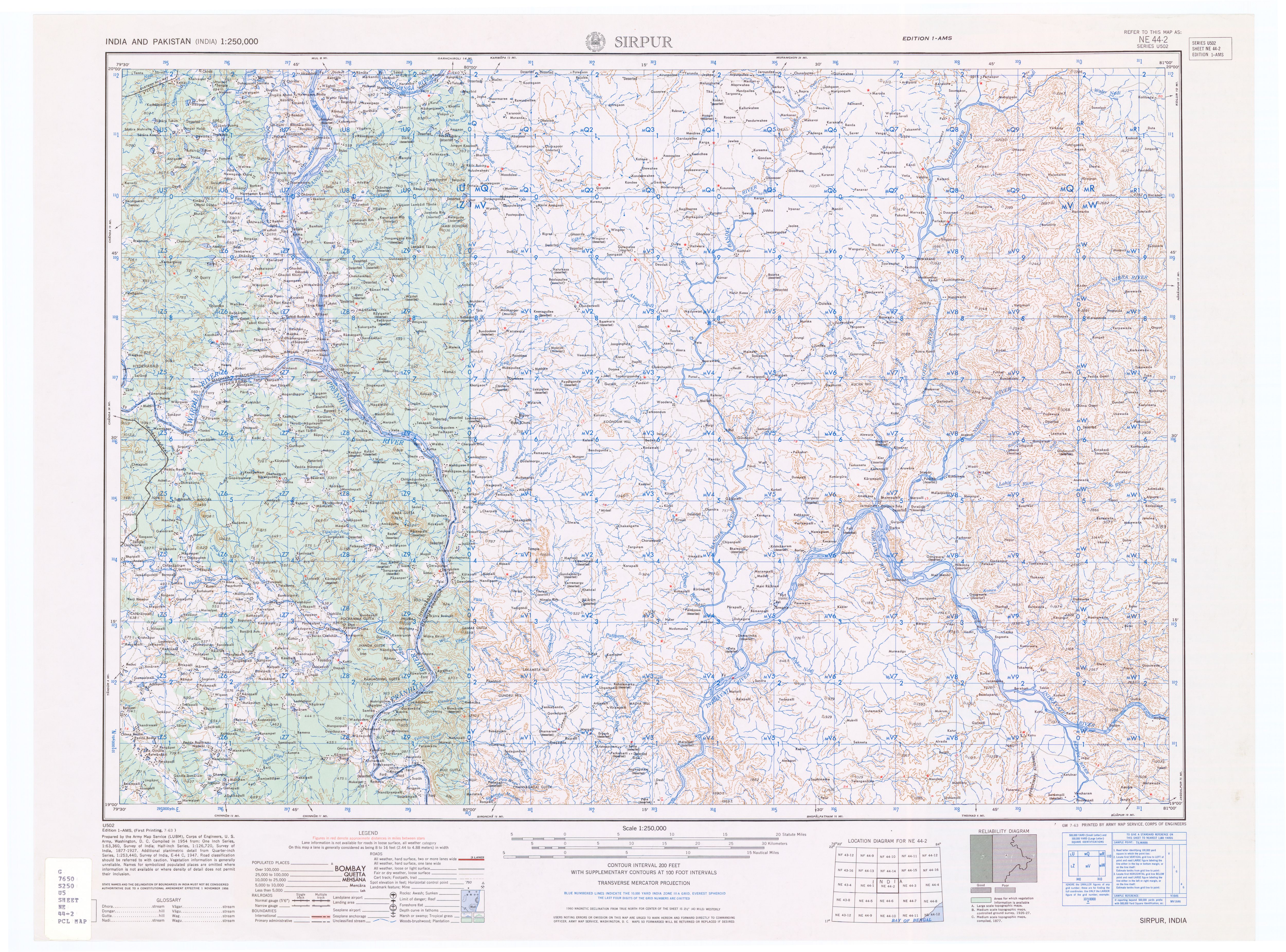
- ↑ Topographic map "Sirpur, India, NE-44-02, 1:250,000" Series U502, US Army Map Service, July 1963
- ↑ http://www.vidc.gov.in/ceamt/pro/UpperWardha/Index.htm


Coordinates: 19°36′01″N 79°47′20″E / 19.60028°N 79.78889°E
This article about a location in the Indian state of Maharashtra is a stub. You can help Wikipedia by expanding it. |