.svg)
Panzara River

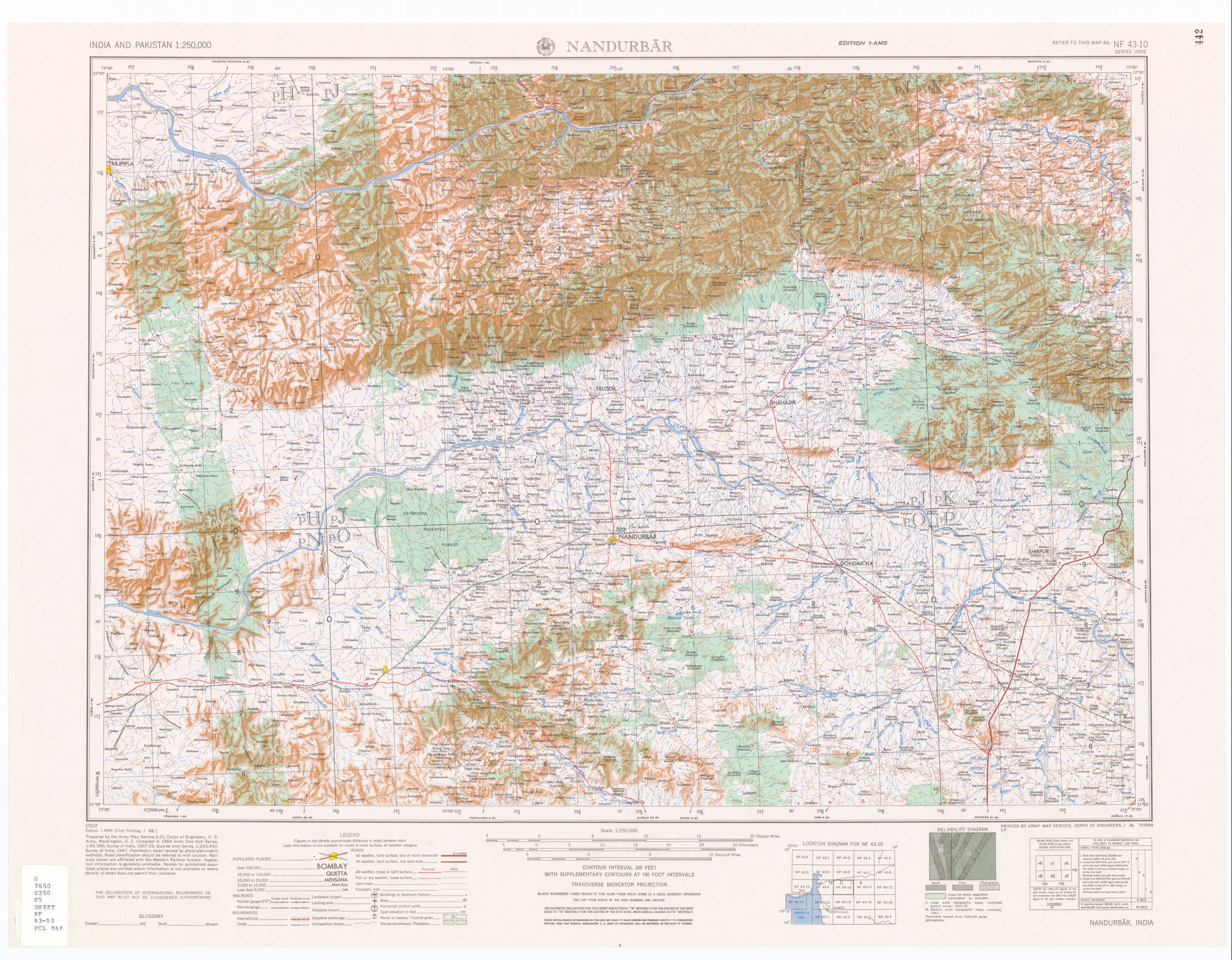
The Panzara-Kan or Panjhra[1] is a river in the Khandesh region of Maharashtra state of India. It is a tributary of the Tapi River. The Panjhra River originates just few kilometers from the small town of Pimpalner Tal - Sakri in Dhule District.
Akkalpada Dam is built on Panzara River in Sakri Taluka
At its headwaters is a small reservoir which was created when the Latipada Dam was constructed.
The old Kusumba village was located on the river bank of river Panzra which was lost due to the flood that occurred to Panzra river during the years 1864–65. After that the village was relocated to some distance from the river bank and the newly situated village is the current Kusumba Village. The architectural structure of Kusumba village has a cross line road (rach road meets every another road at 90 degrees) like Haddppa Sanskruti designed by Sir Mokshagundam Visvesvaraya.
Notes[edit | edit source]
- ↑ "Topographic Map 1:250,000, NF 43-10 Nandurbar, India" Series U502, U.S. Army Map Service, July 1956
Coordinates: 20°54′27.5″N 74°46′34.8″E / 20.907639°N 74.776333°E
This article about a location in the Indian state of Maharashtra is a stub. You can help Wikipedia by expanding it. |