Dwaraka Nagar | |
|---|---|
Neighbourhood | |
 Dwaraka Nagar 2nd Lane | |
| Lua error in Module:Location_map at line 501: Unable to find the specified location map definition: "Module:Location map/data/India Visakhapatnam" does not exist. | |
| Coordinates: 17°43′43″N 83°18′31″E / 17.728670°N 83.308634°E | |
| Country | |
| State | Andhra Pradesh |
| District | Visakhapatnam |
| Government | |
| • Body | Greater Visakhapatnam Municipal Corporation |
| Languages | |
| • Official | Telugu |
| Time zone | UTC+5:30 (IST) |
| PIN | 530016 |
| Vehicle registration | AP 31, AP 32 and AP 33 |
Dwaraka Nagar is a locality in Visakhapatnam of Andhra Pradesh, India. It is one of the main commercial areas in the city. It is a hub for many shopping malls, educational institutes, hotels, lodges, food courts, restaurants, coaching centers etc.[1]
Commerce[edit | edit source]
It is the major commercial area in Visakhapatnam. It is the business center for all types of outlets and offices.
Transport[edit | edit source]
Dwaraka Nagar is the Bus Transportation hub of Visakhapatnam. Central bus station of the city, Dwaraka bus station is located in this neighborhood.
Gallery[edit | edit source]
-
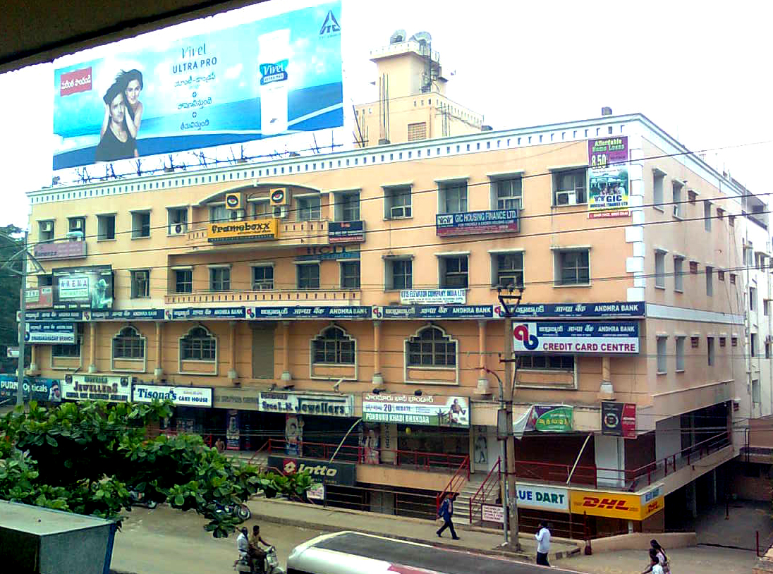 Andhra Bank Complex at Dwarakanagar.
 -
 Vsquare shopping mall at Dwarakanagar.


References[edit | edit source]
- ↑ "Commercial Area". timesofindia. Retrieved 20 March 2017.