Yendada | |
|---|---|
 Apartments at Yendada road | |
| Lua error in Module:Location_map at line 501: Unable to find the specified location map definition: "Module:Location map/data/India Visakhapatnam" does not exist. | |
| Coordinates: 17°46′38″N 83°21′46″E / 17.777185°N 83.362785°E | |
| Country | India |
| State | Andhra Pradesh |
| District | Visakhapatnam |
| Languages | |
| • Official | Telugu |
| Time zone | UTC+5:30 (IST) |
Yendada is a neighbourhood situated on Visakhapatnam and Madhurawada road.[1]
About[edit | edit source]
Yendada Is Developing Very Rapidly and Having Extremely High Real Estate Boom. [2]
Transport[edit | edit source]
- APSRTC routes
| Route Number | Start | End | Via |
|---|---|---|---|
| 52E | Peda Rushikonda | Old Head Post Office | GITAM, Yendada, Hanumanthuwaka, Maddilapalem, RTC Complex, Jagadamba Centre, Town Kotharoad |
| 52V/G | Gollala Yendada | Old Head Post Office | Hanumanthuwaka, Appughar, Pedawaltair, Siripuram, RK Beach, Jagadamba Centre, Town Kotha Road |
Gallery[edit | edit source]
-
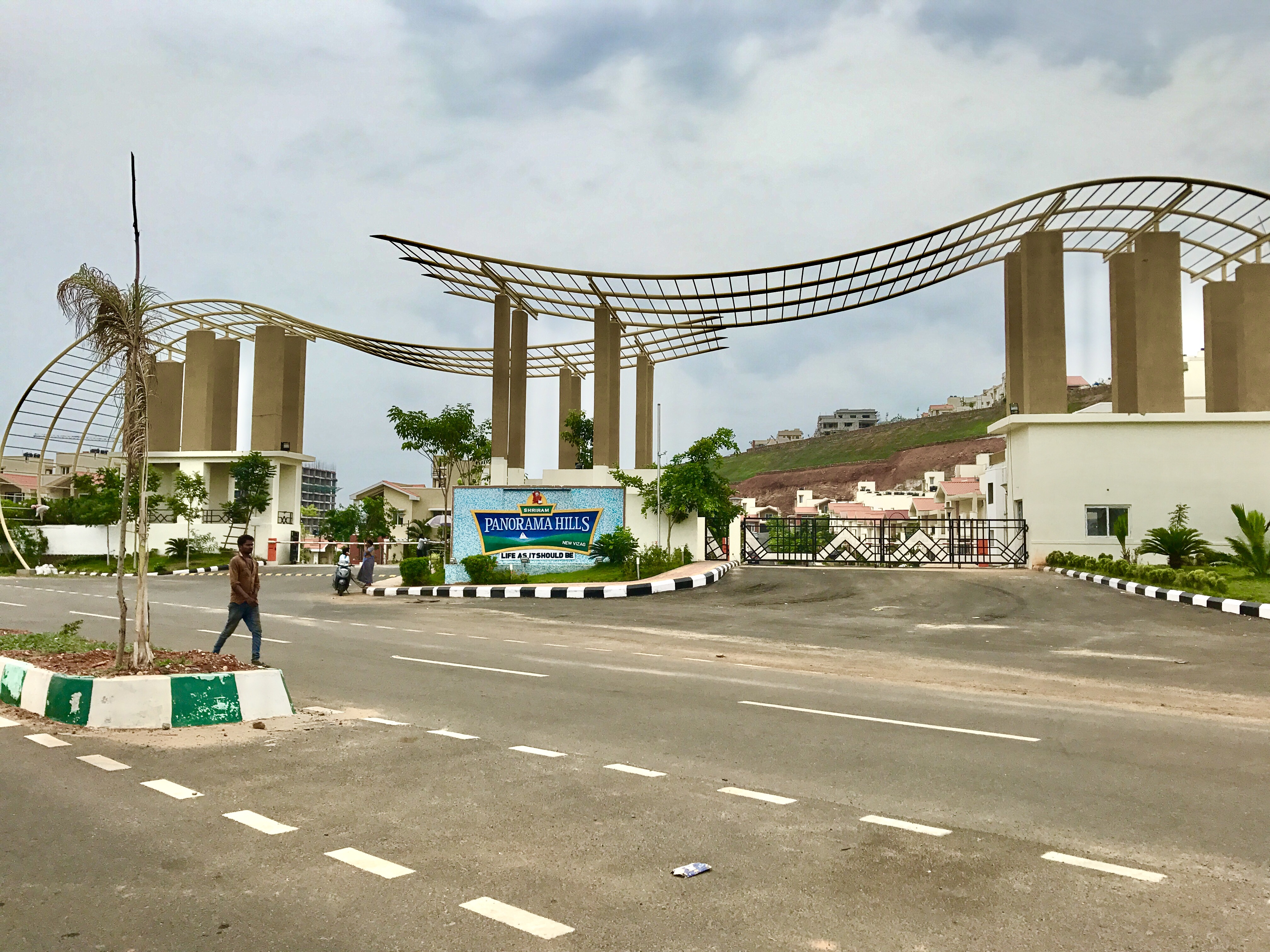 Entrance of Panorama hills near Yendada
 -
 NH5 at Yendada
 -
 NH5 at Yendada in Visakhapatnam


References[edit | edit source]
- ↑ "location". the hans india. 12 September 2017. Retrieved 23 September 2017.
- ↑ "about". deccan chronicle. 7 December 2017. Retrieved 29 September 2017.