
->Rroocckkyy |
robot: Update article (please report if you notice any mistake or error in this edit) |
||
| Line 1: | Line 1: | ||
{{Short description|Road in India}} | |||
{{Use dmy dates|date=June 2017}} | {{Use dmy dates|date=June 2017}} | ||
{{Use Indian English|date=June 2017}} | {{Use Indian English|date=June 2017}} | ||
| Line 10: | Line 11: | ||
|section1= North–South | |section1= North–South | ||
|length_km1=4000 | |length_km1=4000 | ||
|direction_a1=North | |direction_a1=North | ||
|terminus_a1= [[Srinagar]] | |terminus_a1= [[Srinagar]] | ||
| Line 27: | Line 27: | ||
[[File:Nh 7.jpg|thumb|NH 7: A section near Kanyakumari, in southern India, of NSEW Corridor highway]] | [[File:Nh 7.jpg|thumb|NH 7: A section near Kanyakumari, in southern India, of NSEW Corridor highway]] | ||
The '''North–South–East–West Corridor''' (NS-EW) is the largest ongoing highway project in India. It is the second phase of the [[National Highways Development Project]] (NHDP), and consists of building 7300 kilometers of four/six lane [[ | The '''North–South–East–West Corridor''' (NS-EW) is the largest ongoing highway project in India. It is the second phase of the [[National Highways Development Project]] (NHDP), and consists of building 7300 kilometers of four/six lane [[National Highway (India)|highways]] associating [[Srinagar]], [[Kanyakumari (town)|Kanyakumari]], [[Kochi]], [[Porbandar]] and [[Silchar]], at a cost of US$12.317 billion (at 1999 prices). {{As of|2018|alt=As of 31 March 2018}}, 6875 of the 7142 kilometers project has been finished.<ref name=nhai1>{{Cite web |url=http://www.nhai.org/nhdpmain_english.htm |title=NHDP website |access-date=10 March 2009 |archive-url=https://web.archive.org/web/20160304075250/http://www.nhai.org/nhdpmain_english.htm |archive-date=4 March 2016 |url-status=dead }}</ref> | ||
In combination with the [[Golden Quadrilateral]] network, and port connectivity highways, the NS-EW Corridor forms a key part of the [[Roads in India|Indian highway network]], connecting many of its important manufacturing, commerce and cultural centers. As of May 2012, India has completed and placed in use some 15,800 kilometers of such 4-lane highways. | In combination with the [[Golden Quadrilateral]] network, and port connectivity highways, the NS-EW Corridor forms a key part of the [[Roads in India|Indian highway network]], connecting many of its important manufacturing, commerce and cultural centers. As of May 2012, India has completed and placed in use some 15,800 kilometers of such 4-lane highways. | ||
| Line 37: | Line 37: | ||
===North–South Corridor=== | ===North–South Corridor=== | ||
This is a {{convert|4000|km|miles}} corridor via [[National Highway 44 (India)|NH 44]] ([[Srinagar]]-[[Udhampur]]-[[Jammu]]–[[Jalandhar]]–[[Delhi]]–[[Agra]]–[[Gwalior]]–[[Jhansi]]–[[Narsinghpur]]-[[Lakhnadon]]–[[Nagpur]]-[[Hyderabad, India|Hyderabad]]-[[Bengaluru]]-[[Salem, Tamil Nadu|Salem]]–[[Madurai]]-[[Kanyakumari]]), branch road [[National Highway 544 (India)|NH 544]] ([[Salem, Tamil Nadu|Salem]]–[[Coimbatore, Tamil Nadu|Coimbatore]]–[[Palakkad]]-[[Kochi, Kerala|Kochi]]) | This is a {{convert|4000|km|miles}} corridor via [[National Highway 44 (India)|NH 44]] ([[Srinagar]]-[[Udhampur]]-[[Jammu]]–[[Jalandhar]]–[[Delhi]]–[[Agra]]–[[Gwalior]]–[[Jhansi]]–[[Sagar, Madhya Pradesh|Sagar]]–[[Narsinghpur]]-[[Lakhnadon]]–[[Nagpur]]-[[Hyderabad, India|Hyderabad]]-[[Bengaluru]]-[[Salem, Tamil Nadu|Salem]]–[[Madurai]]-[[Kanyakumari]]), branch road [[National Highway 544 (India)|NH 544]] ([[Salem, Tamil Nadu|Salem]]–[[Coimbatore, Tamil Nadu|Coimbatore]]–[[Palakkad]]-[[Kochi, Kerala|Kochi]]) | ||
===East-West Corridor=== | ===East-West Corridor=== | ||
| Line 63: | Line 63: | ||
== Major cities == | == Major cities == | ||
{| class="wikitable | {| class="wikitable" width=500 px | ||
|- | |- | ||
! North-South Corridor | ! North-South Corridor | ||
| Line 116: | Line 116: | ||
** [[Krishnagiri]] | ** [[Krishnagiri]] | ||
** [[Dharmapuri]] | ** [[Dharmapuri]] | ||
** | |||
** [[Salem, Tamil Nadu|Salem]] | ** [[Salem, Tamil Nadu|Salem]] | ||
** [[Namakkal]] | ** [[Namakkal]] | ||
Revision as of 01:42, 1 July 2022
| North–South and East–West Corridor | |
|---|---|
| Route information | |
| Length | 7,142 km (4,438 mi) |
| North–South | |
| Length | 4,000 km (2,000 mi) |
| North end | Srinagar |
| Major junctions | NH 1, NH 2, NH 3, NH 75, NH 26, NH 7, NH 47 |
| South end | Kanyakumari/Kochi |
| East–west | |
| Length | 3,300 km (2,100 mi) |
| East end | Silchar |
| Major junctions | NH 54, NH 36, NH 37, NH 31, NH 317, NH 57, NH 28, NH 25, NH 76, NH 14, NH 15, NH 41, NH 8B |
| West end | Porbandar |
| Highway system | |
|
| |
The North–South–East–West Corridor (NS-EW) is the largest ongoing highway project in India. It is the second phase of the National Highways Development Project (NHDP), and consists of building 7300 kilometers of four/six lane highways associating Srinagar, Kanyakumari, Kochi, Porbandar and Silchar, at a cost of US$12.317 billion (at 1999 prices). As of 31 March 2018[update], 6875 of the 7142 kilometers project has been finished.[1]
In combination with the Golden Quadrilateral network, and port connectivity highways, the NS-EW Corridor forms a key part of the Indian highway network, connecting many of its important manufacturing, commerce and cultural centers. As of May 2012, India has completed and placed in use some 15,800 kilometers of such 4-lane highways.
The NS–EW project is managed by the National Highways Authority of India under the Ministry of Road Transport and Highways.
Route
Only National Highways are used in the two corridors.
North–South Corridor
This is a 4,000 kilometres (2,500 mi) corridor via NH 44 (Srinagar-Udhampur-Jammu–Jalandhar–Delhi–Agra–Gwalior–Jhansi–Sagar–Narsinghpur-Lakhnadon–Nagpur-Hyderabad-Bengaluru-Salem–Madurai-Kanyakumari), branch road NH 544 (Salem–Coimbatore–Palakkad-Kochi)
East-West Corridor
This is a 3,300 kilometres (2,100 mi) corridor via NH 27 (Porbandar–Rajkot-Samakhiali–Radhanpur–Kota–Jhansi–Kanpur-Lucknow–Ayodhya-Gorakhpur-Muzaffarpur–Darbhanga-Supaul-Purnia– Dalkhola-Kishanganj, Islampur–Sonapur- Ghoshpukur-Jalpaiguri Alipurduar- Bongaigaon - Nalbari Bijni–Guwahati–Nagaon–Dabaka–Silchar).
Interchange points between the corridors
- The following is an interchange section
- Jhansi is the junction of North–South and East–West Corridors.
- The following stretches are common between the Golden Quadrilateral and the NS-EW Corridors.
- Delhi–Agra: Golden Quadrilateral & North–South Corridor
- Bengaluru–Krishnagiri: Golden Quadrilateral & North–South Corridor
- Akbarpur–Kanpur: Golden Quadrilateral & East–West Corridor
- Udaipur–Chittorgarh: Golden Quadrilateral & East West Corridor
- The following is a Spur Highway of the North–South Corridor
- Kochi–Coimbatore–Salem(NH 544): North–South Corridor & North–South Corridor Extension
Major cities
| North-South Corridor | East-West Corridor |
|---|---|
| (From North to South) | (From West to East) |
Possible extensions
There is popular demand for the extension of the East West Corridor from Silchar to Moreh via Jiribam and Imphal, and from Nagaon to Stilwell Road via Jorhat, Dibrugarh, Tinsukia and Ledo. These two extensions may increase the cross border trade with South East Asia.
Current status
| Segment | Total Length | Length Completed | Under Implementation | Length to be Awarded | Percent Completed(%) | As of (date) |
|---|---|---|---|---|---|---|
| North–South and East–West Corridor | 7,142 km (4,438 mi) | 7,042 km (4,376 mi) | 100 km (62 mi) | 1,050 km (650 mi) | 98.69 | 28 February 2018[3] |
Gallery
-
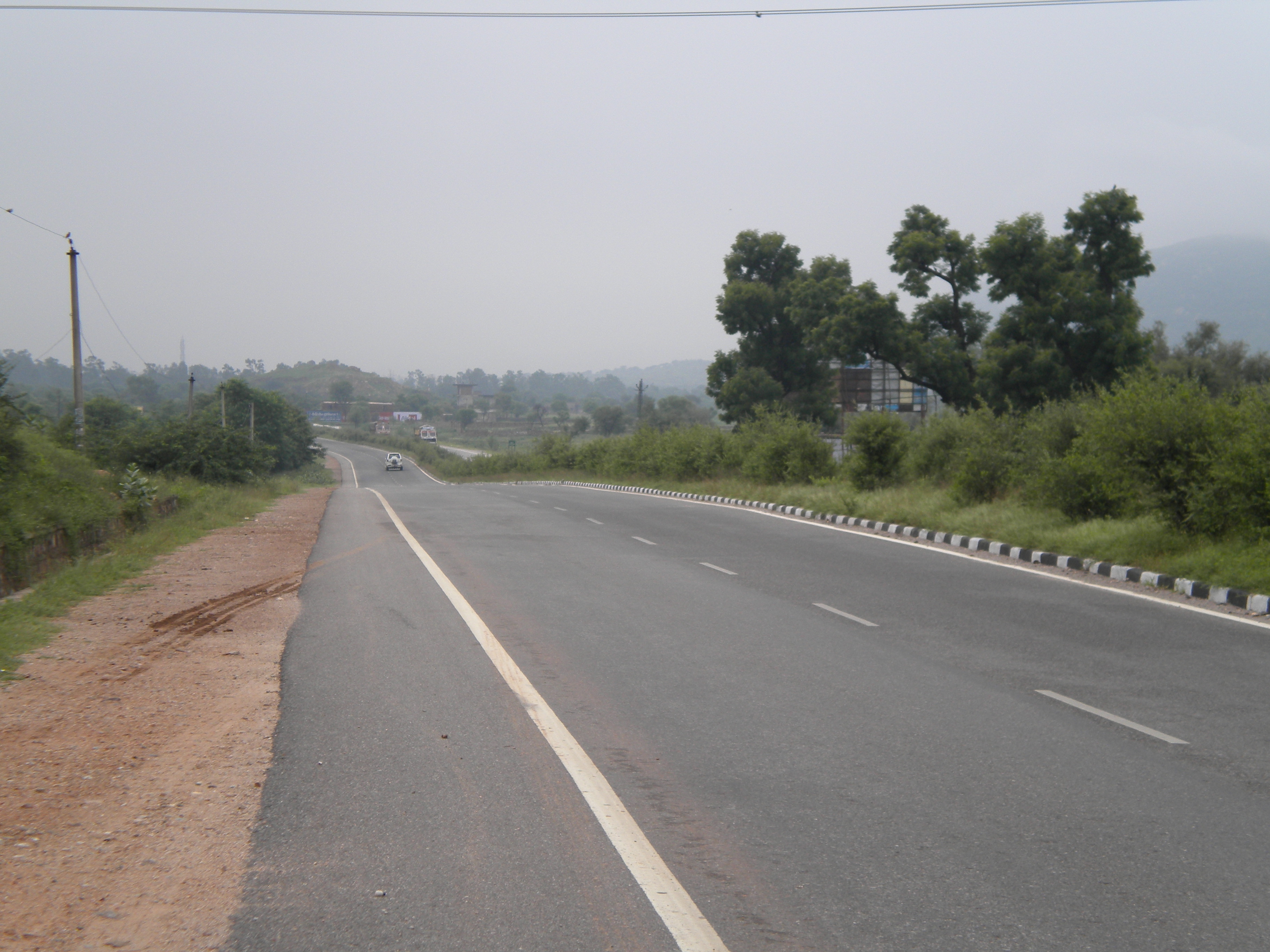 NH 8 - a section near Rajasthan, in western India, of NSEW Corridor highway
 -
NH 57 - a section near Darbhanga, Bihar, of NSEW Corridor highway
-
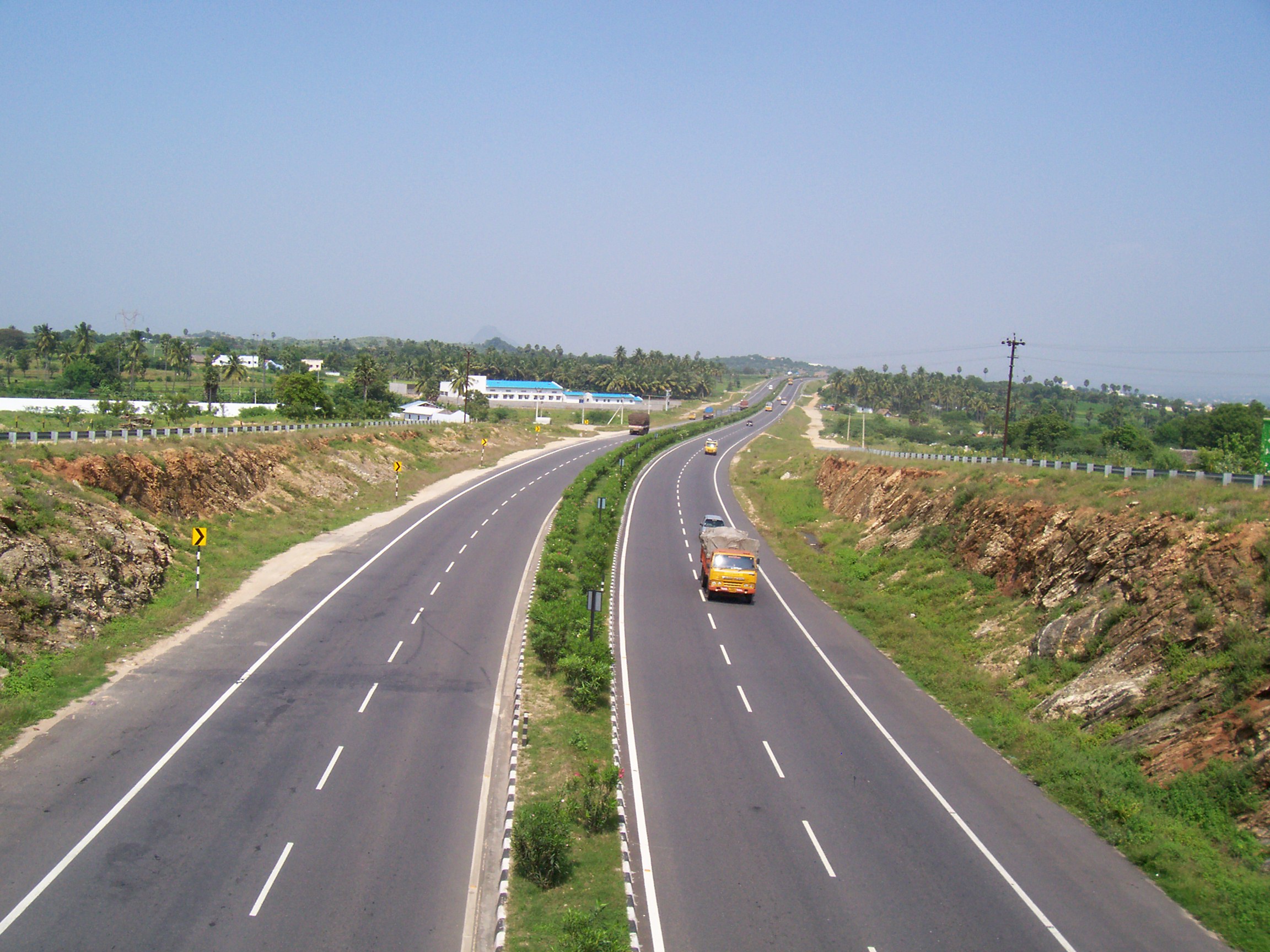 A section of NH-47 along the Erode Bypass of NSEW Corridor highway in Tamilnadu.


See also

- Similar rail development
- Future of rail transport in India, rail development
- Similar roads development
- Bharatmala
- Diamond Quadrilateral, Subsumed in Bharatmala
- Golden Quadrilateral, completed national road development connectivity older scheme
- National Highways Development Project, Subsumed in Bharatmala
- India-China Border Roads, Subsumed in Bharatmala
- Expressways of India
- Setu Bharatam, river road bridge development in India
- Similar ports and river transport development
- Indian Rivers Inter-link
- List of National Waterways in India
- Sagar Mala project, national water port development connectivity scheme
- Similar air transport development
- Indian Human Spaceflight Programme
- UDAN, national airport development connectivity scheme
- Highways in India
- General
References
- ↑ "NHDP website". Archived from the original on 4 March 2016. Retrieved 10 March 2009.
- ↑ Hinganghat
- ↑ "National Highways Development Project – North–South and East–West Corridor". भारतीय राष्ट्रीय राजमार्ग प्राधिकरण – National Highways Authority of India (Ministry of Road Transport and Highways) (in English and हिन्दी). 28 February 2018. Archived from the original on 14 May 2008. Retrieved 20 April 2017.


