


This article has multiple issues. Please help improve it or discuss these issues on the talk page. (Learn how and when to remove these template messages)
|
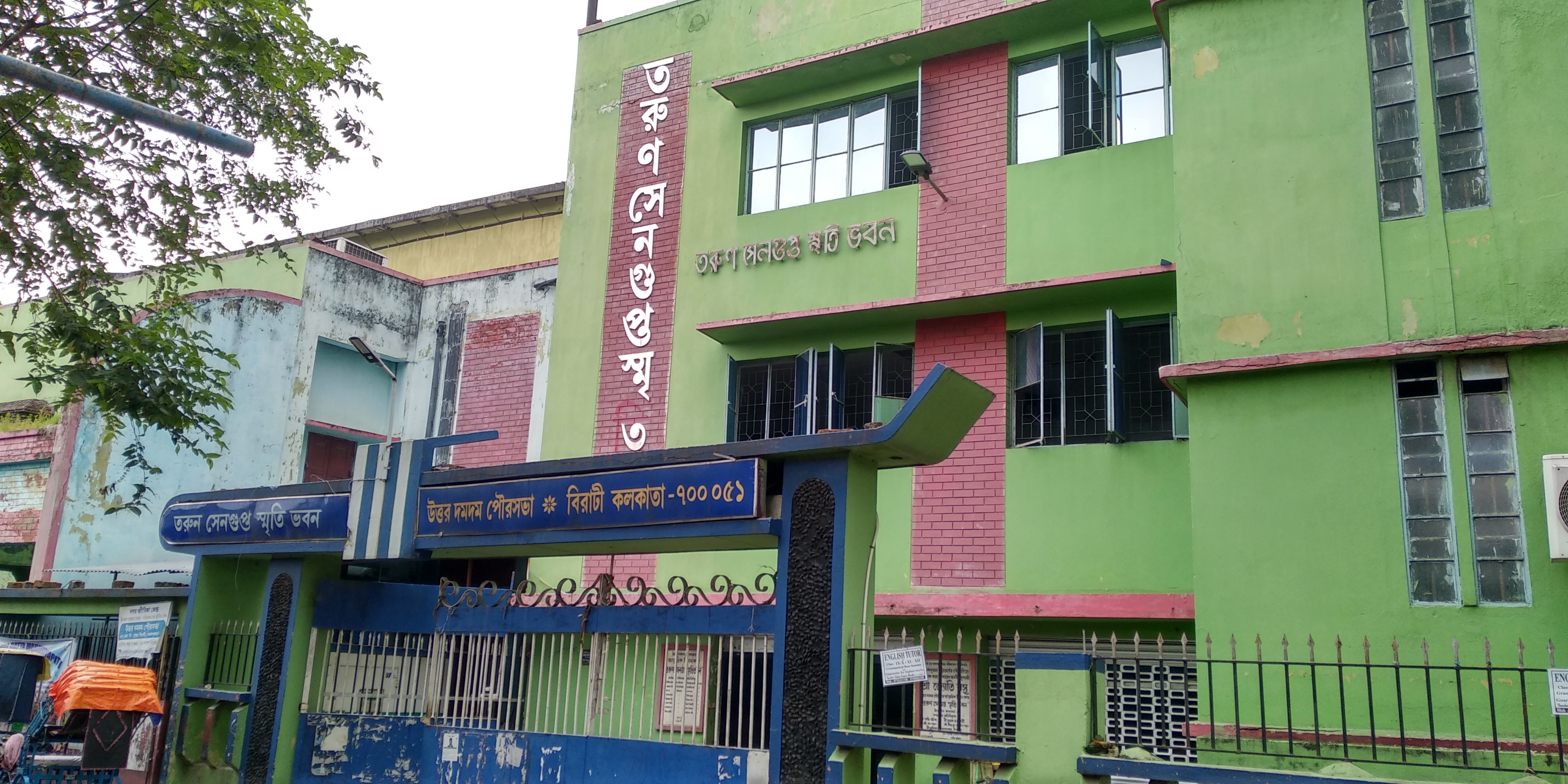
Birati | |
|---|---|
Neighbourhood | |
 Angana Abasan, Banik Junction, Madhusudan Banerjee Road (M.B. Road) | |
Location West Bengal, India  Birati Birati (India) | |
| Coordinates: 22°39′51″N 88°25′42″E / 22.6643°N 88.4283°E | |
| Country | |
| State | West Bengal |
| District | North 24 Parganas |
| Region | Greater Kolkata |
| Government | |
| • Type | Municipality |
| • Body | North Dumdum Municipality |
| Languages | |
| • Official | Bengali, English |
| Time zone | UTC+5:30 (IST) |
| PIN | 700051 |
| Telephone code | +91 33 |
| Vehicle registration | WB |
| Lok Sabha constituency | Dum Dum |
| Vidhan Sabha constituency | Dum Dum Uttar |
| Climate | Tropical (Köppen) |
Birati is a locality in North Dumdum Municipality of North 24 Parganas district in the Indian state of West Bengal. It is close to Kolkata and also a part of the area covered by Kolkata Metropolitan Development Authority (KMDA).[1]

History[edit | edit source]
Nimta-Birati area was a well known Janapada since the days of Laksmikanta Roy Choudhury. Later after his death in 1649, it became the capital of Laksmikanta's jagir and remained the administrative headquarters till 1716 when the capital was shifted to Barisha. Still Birati remains an abode of the Sabarna Roy Choudhury family.[2]
Geography and locality[edit | edit source]

Birati is bound by the Jessore Road in the East, Nimta in the West, New Barrackpore in the North and Durganagar in the South. It also features a railway station. It's closeness to Dum Dum also adds the Kolkata Metro as a way of conveyance.
Demographics[edit | edit source]
There are many close knit communities in Birati who live among them peacefully without any atrocities. Gitanjali Park is one of them.[3]
Religion:
Hindus:99.90%
Muslim:0.08%
Others:0.02%

Education[edit | edit source]
Mrinalini Dutta Mahavidyapith (more commonly known as the Birati college) is the only college in Birati.
Transport[edit | edit source]

By air[edit | edit source]
Birati is close to Netaji Subhash Chandra Bose International Airport.[4]
By road[edit | edit source]
Kolkata-Siliguri highway passes through Birati. Birati also has the 237 and Birati Mini Bus which goes to Babughat and B.B.D Bag respectively. [4]
By rail[edit | edit source]
Birati railway station on the Sealdah–Bangaon line serves the area. It will be soon connected with the Noapara-Barasat Yellow Line Line 4 of Kolkata Metro. The metro station will be underneath Jessore Road at Birati More.
Notable residents[edit | edit source]
- Mihir Sen: Writer
References[edit | edit source]
- ↑ "Base Map of Kolkata Metropolitan area". Kolkata Metropolitan Development Authority. Archived from the original on 3 March 2016. Retrieved 29 January 2009.
- ↑ Bangiya Sabarna Katha Kalishetra Kalikatah by Bhabani Roy Choudhury, Manna Publication. ISBN 81-87648-36-8
- ↑ "বিরাটী বসন্ত উৎসব ২০২০". AllEvents.in. Retrieved 2 December 2020.
- ↑ 4.0 4.1 Chaudhuri, Moumita (21 February 2021). "The Calcutta-Siliguri highway is a track everybody loves to take but nobody ever made". the Telegraph. Retrieved 25 March 2022.
External links[edit | edit source]
Cities, towns, locations and neighbourhoods in North 24 Parganas district | |||||||||
|---|---|---|---|---|---|---|---|---|---|
| Municipal cities/ towns and Census towns | |||||||||
| Locations other than cities and towns |
| ||||||||
| Neighbourhoods of other cities and towns in the district | |||||||||
| Related topics | |||||||||


| Kolkata Municipal Corporation |
|
|---|---|
| Kolkata Urban Agglomeration Outside KMC |
|