Dinhata | |
|---|---|
City | |
 | |
Location in West Bengal, India  Dinhata Dinhata (India)  Dinhata Dinhata (Asia) | |
| Coordinates: 26°08′N 89°28′E / 26.13°N 89.47°E | |
| Country | |
| State | West Bengal |
| District | Cooch Behar |
| Government | |
| • Type | Municipality |
| • Body | Dinhata Municipality |
| Area | |
| • Total | 4.55 km2 (1.76 sq mi) |
| Elevation | 36 m (118 ft) |
| Population (2011) | |
| • Total | 36,124 |
| • Density | 7,900/km2 (21,000/sq mi) |
| Languages | |
| • Official | Bengali[2][3] |
| • Additional official | English[2] |
| • Local dialect | Kuchbihari[2] |
| Time zone | UTC+5:30 (IST) |
| PIN | 736135 |
| Telephone code | 03581 |
| Vehicle registration | WB-64 |
| Lok Sabha constituency | Cooch Behar (SC) |
| Vidhan Sabha constituency | Dinhata, Sitai (SC) |
| Website | dinhata |
Dinhata (bn), is a city and a municipality in Cooch Behar district in the state of West Bengal, India. It is the headquarters of the Dinhata subdivision. Apart from the city area, Dinhata consists of 3 blocks.
Geography[edit | edit source]
Lua error in Module:OSM_Location_map at line 1984: attempt to index field 'wikibase' (a nil value).
Location[edit | edit source]
Dinhata is located at 26°08′N 89°28′E / 26.13°N 89.47°E.[4] It has an average elevation of 36 metres (118 feet).
According to the District Census Handbook 2011, Koch Bihar, Dinhata covered an area of 4.55 km2.[5]
Area overview[edit | edit source]
The map alongside shows the eastern part of the district. In Tufanganj subdivision 6.97% of the population lives in the urban area and 93.02% in the rural areas. In Dinhata subdivision 5.98% of the population lives in the urban areas and 94.02% lives in the rural areas.[6] The entire district forms the flat alluvial flood plains of mighty rivers.[7]
Note: The map alongside presents some of the notable locations in the subdivisions. All places marked in the map are linked in the larger full screen map.
Demographics[edit | edit source]
As per 2011 Census of India Dinhata had a total population of 36,124 of which 18,344 (51%) were males and 17,780 (49%) were females. Population in the age range 0–6 years was 2,485. The total number of literate persons in Dinhata was 30,487 (91.61% of the population over 6 years).[8]
For information regarding language and religion see Dinhata I#Language and religion and Dinhata II#Language and religion
As of 2001[update] India census, Dinhata had a population of 34,303. Males constitute 51% of the population and females 49%. Dinhata has an average literacy rate of 80%, higher than the national average of 59.5%: male literacy is 84% and, female literacy is 75%. In Dinhata, 9% of the population is under 6 years of age.[9]
Civic administration[edit | edit source]
Police station[edit | edit source]
Dinhata police station has jurisdiction over Dinhata municipal area and Dinhata I CD block.[10][11]
CD block HQ[edit | edit source]
The headquarters of the Dinhata I CD block are located at Dinhata town.[12]
Municipality[edit | edit source]
The total number of wards in the municipality are 16.[13]
Education[edit | edit source]
Dinhata College was established in 1956. Affiliated with the Cooch Behar Panchanan Barma University, it offers courses in arts, science and commerce.[14]
A regional station of the Central Tobacco Research Institute, India is located in this town.[15]
Healthcare[edit | edit source]
Dinhata Subdivisional Hospital at Dinhata functions with 180 beds.[16]
Transport[edit | edit source]
Dinhata Railway Station serves the city of Dinhata, the station lies under Alipurduar railway division of Northeast Frontier Railway.
Notable people[edit | edit source]
- GM Quader, former Bangladeshi commerce minister
- Hossain Mohammad Ershad, former President of Bangladesh
- Hossain Mokbul Shahriar, Bangladeshi politician
- Merina Rahman, Bangladeshi MP
- Mozammel Hossain Lalu, Bangladeshi politician
- Saad Ershad, Bangladeshi businessman
- Kamal Guha, former Agriculture Minister of the Government of West Bengal
- Dipak Sen Gupta, Freedom fighter and one of the leading participants of Goa Freedom Movement from West Bengal in 1955, former Member of West Bengal Legislative Assembly for 4 consecutive terms and Chairman of Dinhata Municipality
- Udayan Guha, MLA from Dinhata constituency in West Bengal Legislative Assembly
Gallery[edit | edit source]
-
 Chowpathi
 -
 Dinhata Main Road
 -
 Dinhata's Village Side
 -
 Inside picture of Nripendra Narayan Memorial Hall (Smriti Sadan)
 -
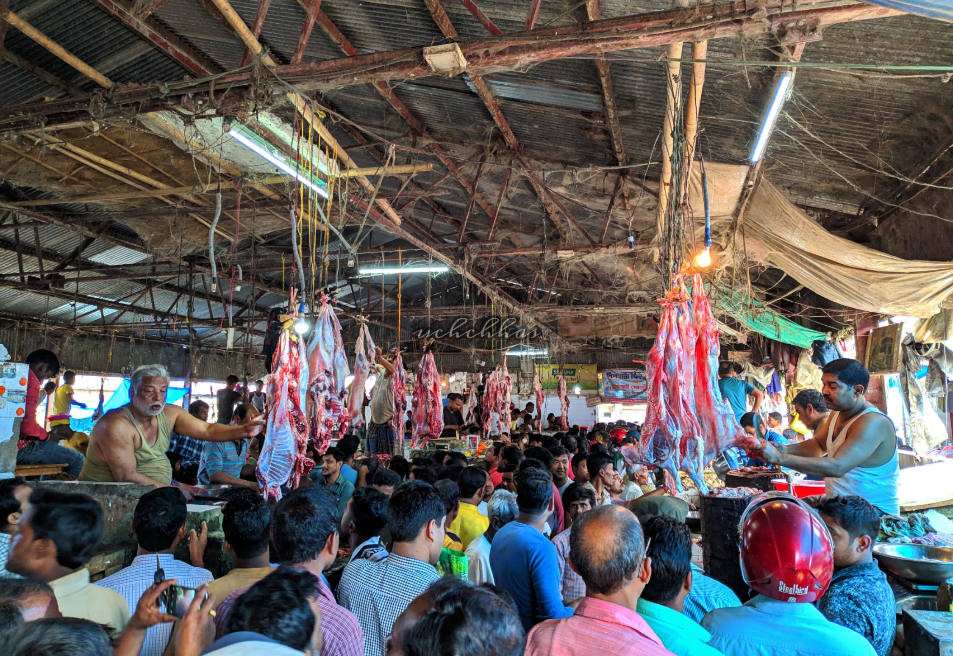 Its a new meat and fish market
 -
 Dinhata Railway Station
 -
 Dinhata's Durga Puja
 -
 Dinhata's Durga Puja
 -
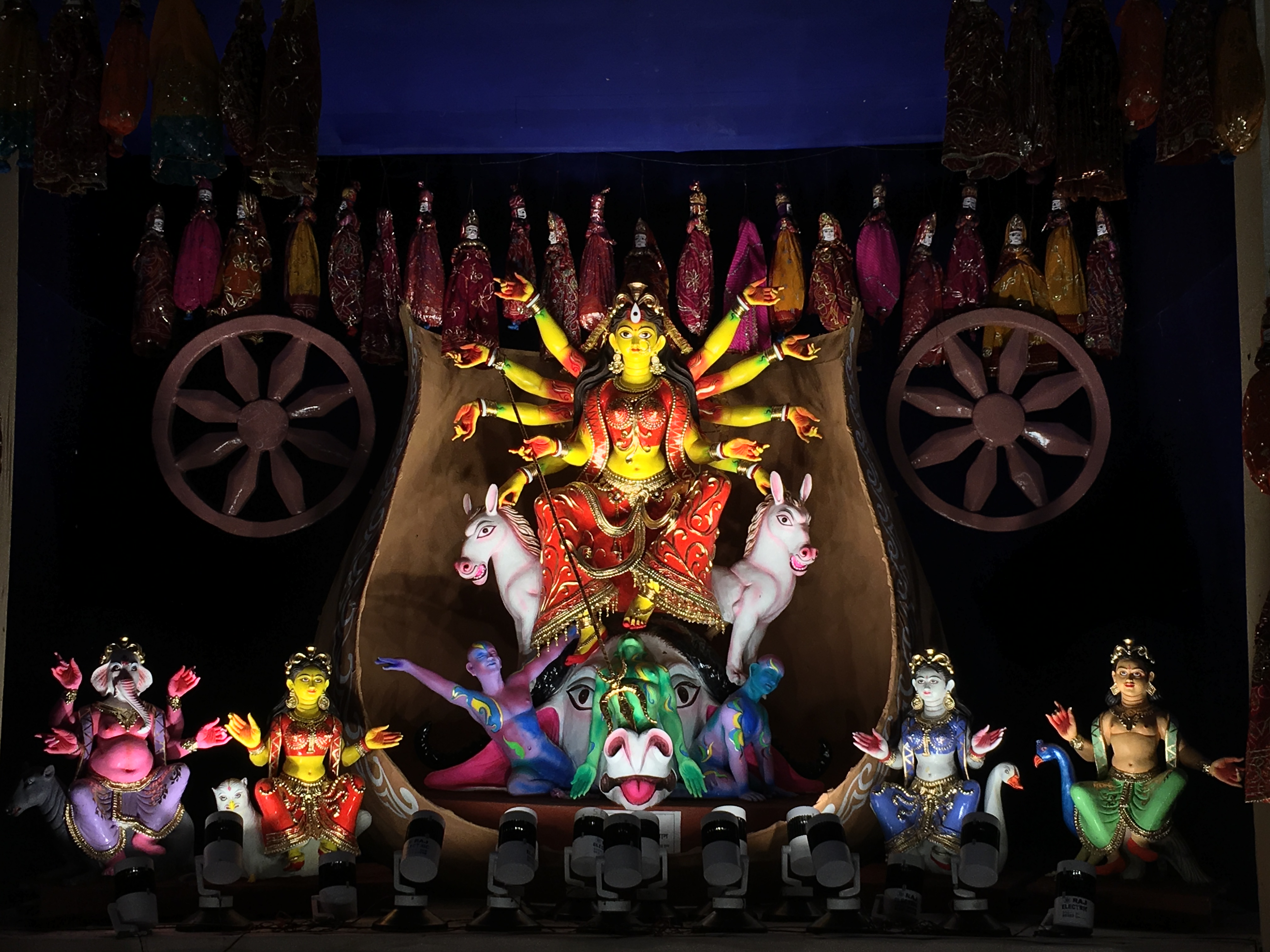 Durga Puja of Dinhata
 -
 Church Of Dinhata
 -
 Jam E masjid, A mosque Of Dinhata
 -
 The Biggest Kali goddess Idol of Dinhata
 -
 Ma Mahamaya Path Temple Of Dinhata


References[edit | edit source]
- ↑ "Dinhata City". www.sudawb.org. Retrieved 26 November 2020.
- ↑ 2.0 2.1 2.2 "Fact and Figures". www.wb.gov.in. Retrieved 12 March 2019.
- ↑ "52nd Report of the Commissioner for Linguistic Minorities in India" (PDF). nclm.nic.in. Ministry of Minority Affairs. p. 85. Archived from the original (PDF) on 25 May 2017. Retrieved 12 March 2019.
- ↑ Falling Rain Genomics, Inc - Dinhata
- ↑ "District Census Handbook Koch Bihar, Census of India 2011, Series 20, Part XII A" (PDF). Section II Town Directory, Pages 593-594 : Statement I: Status and Growth History, Page 595. Directorate of Census Operations V, West Bengal. Retrieved 2 August 2020.
- ↑ "District Statistical Handbook 2013 Cooch Behar". Tables 2.2, 2.4b. Department of Planning and Statistics, Government of West Bengal. Archived from the original on 21 January 2019. Retrieved 5 August 2020.
- ↑ "District Census Handbook, Koch Bihar, Series 20, Part XIIA" (PDF). Census of India 2011, pages 17-21 Physical feafures. Directorate of Census Operations, West Bengal. Retrieved 5 August 2020.
- ↑ "2011 Census – Primary Census Abstract Data Tables". West Bengal – District-wise. Registrar General and Census Commissioner, India. Retrieved 2 August 2020.
- ↑ "Census of India 2001: Data from the 2001 Census, including cities, villages and towns (Provisional)". Census Commission of India. p. line 4851. Archived from the original on 16 June 2004. Retrieved 1 November 2008.
- ↑ "District Statistical Handbook 2013 Cooch Behar". Tables 2.1. Department of Statistics and Programme Implementation, Government of West Bengal. Retrieved 2 August 2020.
- ↑ "Police Stations under Cooch Behar district". Cooch Behar Police. Retrieved 2 August 2020.
- ↑ "District Census Handbook, Koch Bihar, Series 20, Part XIIA" (PDF). Census of India 2011, Fifth page, map of Koch Bihar district. Directorate of Census Operations, West Bengal. Retrieved 2 August 2020.
- ↑ "Trinamul buzz ends in whimper in Dinhata". The Telegraph, India. Archived from the original on 7 June 2010. Retrieved 2 June 2010.
- ↑ "Dinhata College". DC. Retrieved 28 July 2020.
- ↑ "About Institution (Central Tobacco Research Institute)". Central Tobacco Research Institute. Archived from the original on 8 May 2010. Retrieved 2 June 2010.
- ↑ "Health & Family Welfare Department" (PDF). Health Statistics - Hospitals. Government of West Bengal. Archived from the original (PDF) on 14 September 2020. Retrieved 2 August 2020.
Cities and towns in Cooch Behar district | |||||||||||
|---|---|---|---|---|---|---|---|---|---|---|---|
| Cities, municipal and census towns |
| ||||||||||
| Locations other than cities and towns |
| ||||||||||
| Related topics | |||||||||||