Azhikode | |
|---|---|
 Gulikan Theyyam at Puthiya Mundayat | |
| Coordinates: 11°54′27″N 75°20′41″E / 11.907620°N 75.344630°E | |
| Country | |
| State | Kerala |
| District | Kannur |
| Government | |
| • Type | Panchayati raj (India) |
| Area | |
| • Total | 15.98 km2 (6.17 sq mi) |
| Population (2011)[1] | |
| • Total | 47,323 |
| • Density | 3,000/km2 (7,700/sq mi) |
| Languages | |
| • Official | Malayalam, English |
| Time zone | UTC+5:30 (IST) |
| PIN | 670009 |
| ISO 3166 code | IN-KL |
| Vehicle registration | KL-13 |
| Nearest city | Kannur |
.jpg)
Azhikode is a coastal town situated in Kannur district of Kerala, India. Azhikode town is divided into Azhikode North and Azhikode South. The northern end of the Azhikode North is called Azhikkal.[2] The place is the birthplace of Sukumar Azhikode, an influential thinker and literary critic. It is about 12 km (7.5 mi) from Kannur city.
Demographics[edit | edit source]
As of 2011 India Census, Azhikode north census town had population of 22,128 which constitutes 10,157 males and 11,971 females. Azhikode north has an area of 8.54 km2 (3.30 sq mi) with 4,503 families residing in it. Azhikode south census town had population of 25,195 where 11,369 are males and 13,826 are females. Azhikode south has an area of 7.44 km2 (2.87 sq mi) with 5,512 households.
Azhikode panchayat consists of Azhikode north and Azhikode south census towns. Azhikode Panchayat had total population of 47,323 which constitutes 21,526 males and 25,797 females. The male female sex ratio was 1198 higher than state average of 1084. Population in the age group 0-6 was 4,948 (10.45%). Azhikode panchayat had overall literacy of 97% higher than state average of 94%. Male literacy stands at 98.4% and Female literacy was 96%.[3]
Beaches in Azhikode[edit | edit source]
Azhikode is famous for its beaches like
- Meenkunnu beach (Fish hill)
- Chalil Beach and Gardens (Chal beach)
- Azhikkal Estuary
- Neerkadavu Beach
As a suburb of Kannur city[edit | edit source]
Kannur city is connected to Azhikode and Azhikkal from Payyambalam beach through Palliyamoola beach, Chal beach, Azhikode South, Meenkunnu Beach, Azhikode North and finally Azhikkal. Villages like Alavil, Manal, Chalad, Chirakkal, Puthiyatheru and Valapattanam are connected to Azhikode. There is a widespread demand to merge Azhikode, Valapattanam and Chirakkal panchayaths to Kannur Corporation.[citation needed]
The main areas of Azhikode North are Azhikkal, Chal beach and Kappakadavu and that of Azhikode South are Vankulathuvayal, Poothappara, Meenkunnu Beach, Neerkadavu Beach and Kappila peedika. Vankulathvayal is one of largest commercial centre in Azhikode.
Pin code of Azhikode is 670009
It is also the birthplace of famous personalities like Sukumar Azhikode and Shihabbuddin Poythumkadavu. Azhikode has large number of temples and mosques and is well connected with roads. Valapattanam railway station is the nearest railway station. It is well connected to the Kannur City via roads. Steady flow of buses in all directions provide a fluent system of transport.
Politics[edit | edit source]
Azhicode assembly constituency is part of Kannur (Lok Sabha constituency).[4]
Azhikkal[edit | edit source]
Azhikkal estuary is the northern end of Azhikode village, where Valapattanam River empties into Arabian Sea. The place has bus stand, a small river port and a fishing harbour. It is the site for a proposed expanded cargo port.[5] The Indian Coast Guard Academy is under construction at Irinave, near to Azhikkal.[6]
Image gallery[edit | edit source]
-
 Chalode
 -
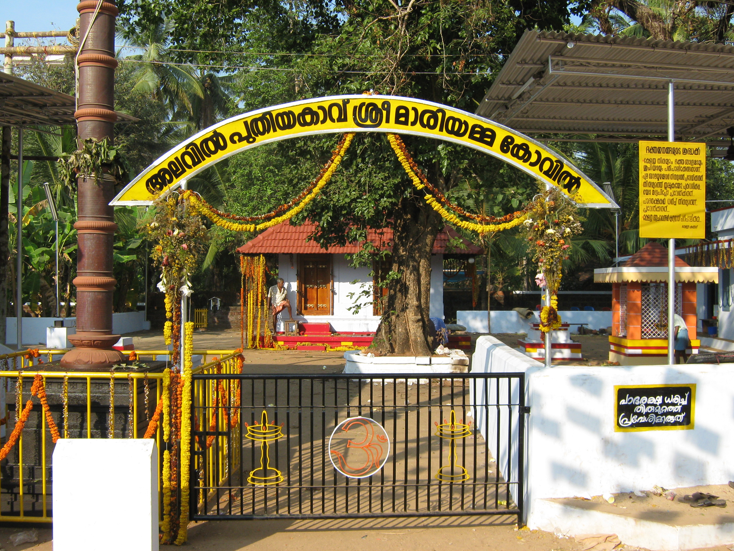 Alavil Puthiyakavu Mariamma Temple
 -
 Azhikode
 -
 Meenkunnu Beach
 -
 Chaalil Beach
 -
 Gulikan on performance
 -
 Starting fire
 -
 Sitting Vishnumoorthy

.jpg)

.jpg)


References[edit | edit source]
- ↑ https://www.citypopulation.de/en/india/kerala/
- ↑ "Census of India 2011: Data from the 2011 Census, including cities, villages and towns (Provisional)". Census Commission of India. Archived from the original on 16 June 2004. Retrieved 1 November 2008.
- ↑ Kerala, Directorate of Census Operations. District Census Handbook, Kannur (PDF). Thiruvananthapuram: Directorateof Census Operations,Kerala. p. 186,187,290,291. Retrieved 14 July 2020.
- ↑ "Assembly Constituencies - Corresponding Districts and Parliamentary Constituencies" (PDF). Kerala. Election Commission of India. Archived from the original (PDF) on 30 October 2008. Retrieved 18 October 2008.
- ↑ No vessel calls at Azhikkal port
- ↑ "First Coast Guard academy to come up at Azheekkal". Archived from the original on 24 October 2012. Retrieved 15 December 2015.
External links[edit | edit source]
| History | |||||||
|---|---|---|---|---|---|---|---|
| Geography | |||||||
| Neighbourhoods | |||||||
| Transport |
| ||||||
| Education | |||||||
| Visitor attractions | |||||||
| Places of worship | |||||||
| Other topics | |||||||
This article related to a location in Kannur district, Kerala, India is a stub. You can help Bharatpedia by expanding it. |