


There are various modes of transportation available in Eluru and its region. It includes auto rickshaws, bicycles to mass transit systems – such as buses and trains. The city was once famed for its traffic problems with the railway gates at Vatluru, Venkatraopet, Powerpet, Old bus stand and Eastern Locks areas. When the National Highway passed through the city, the traffic hurried to pass over the railway gates in the city and outskirts, which makes traffic worse.[1]
To avoid the traffic congestion, the government of India constructed a mini bypass road connecting Eastern locks and Vatluru on both ends of the city. Even then, the traffic problem were not resolved. The main bypass road (which was constructed under Golden Quadrilateral programme which was completed in the late 1990s) had only 10,000 vehicles pass through the bypass road; now it has almost doubled.[2]
Traffic in the city of narrow lanes was growing by the day. Even though officials constructed an underbridge at Venkatraopet railway gate and a railway overbridge at old bus stand besides the foot bridge at Powerpet was replaced by another bridge, but the traffic has doubled, without giving any relief to citizens. There are 93 traffic centres identified in the city.[3]
Roadways[edit | edit source]
The city has a total road length of 227.09 km (141.11 mi).[4] The traffic uses bypass National Highway 16, GNT road[5] and mini-bypass roads. The expansion of mini-bypass road 10-kilometre (6.2 mi) into 4-Lanes is under planning, which once completed, would connect nearby suburbs.[6] There are couple of highways that passes through the city connecting Eluru to major cities in India. The GNT Road is a 15-kilometre (9.3 mi), six-lane road and Bypass road (NH-16) 20-kilometre (12 mi)[7][8] serves major portion of traffic in Eluru, whereas Bypass road is going to be made into 10-lane (6+4) which makes traffic ease between Eluru and Vijayawada.[9]

Sanivarapupeta road, Ramachandra Rao Pet main road, Powerpet Station road, Court Centre Road, Rama Mahal Centre Road, ASR Stadium road, Kannaya Park Road, Kotadibba Road are some of the arterial roads of the city.[10]
Public transport[edit | edit source]


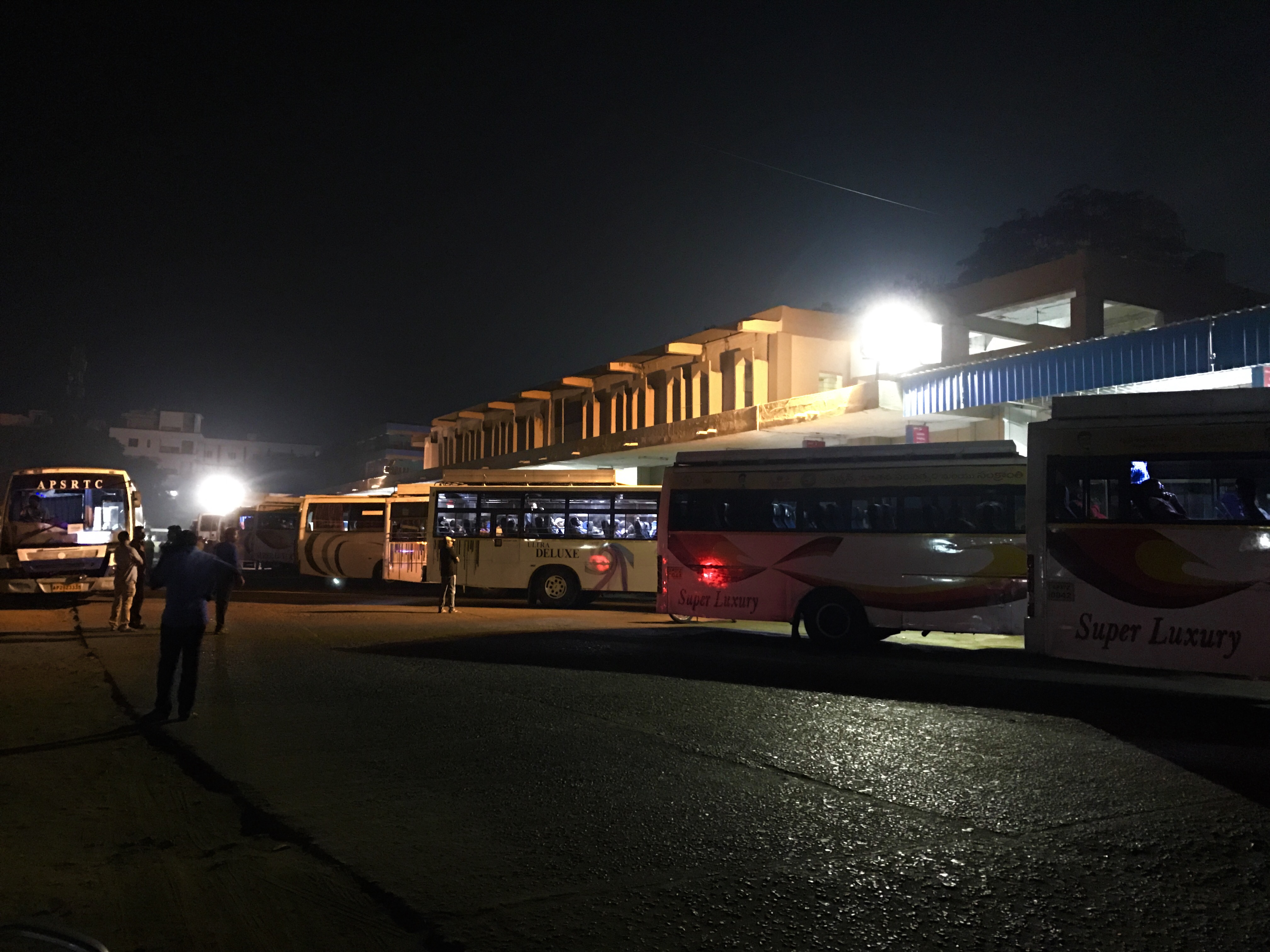
Auto rickshaws are also one of the important modes of public transport in the city.[11][12] The main bus terminus is located in the south-western part of the city. Eluru is the regional headquarters of the state run bus services, APSRTC. It operates buses from Eluru Old[13] and Eluru New bus stations.[14] The services include, Palle Velugu for rural areas, CNG buses for long-distance services. Train Transit is another common mode of transport for long-distance travel. Eluru railway station is the main railway station in South Central Railway zone.[15][16] Government is planning to run more suburban trains between Vijayawada–Eluru–Rajahmundry, apart from Vijayawada – Kakinada passenger[17] and Vijayawada – Rajahmundry MEMU.[18] Powerpet,[19] Vatluru,[20] Sitampet,[21] Denduluru, Bhimadole railway stations[22] are the other railway stations in the city.
Indian National Waterway 4 (NW-4) is under development. The (NW-4) (NW-4) runs along the Coromandal Coast through Kakinada, Eluru, Commanur, Buckingham Canal, and part of the Krishna and Godavari rivers in South India.[23]
References[edit | edit source]
- ↑ Staff Reporter. "Old overbridge bearing brunt of growing traffic". The Hindu. Retrieved 13 May 2017.
- ↑ India, The Hans (20 September 2016). "Traffic woes grip Eluru". www.thehansindia.com.
- ↑ India, The Hans (11 October 2015). "Traffic gridlock hits Eluru hard". www.thehansindia.com.
- ↑ "Details of Roads in each ULB of Andhra Pradesh". Municipal Administration and Urban Development Department. Archived from the original on 1 August 2016. Retrieved 27 June 2016.
- ↑ "Beautification works yet to begin in Eluru-Krishna Canal".
- ↑ "Rain dashes ryots' hopes".
- ↑ "Traffic Problems in Eluru".
- ↑ "Realtors gear up for ORR boom". The Times of India. 19 January 2009. Archived from the original on 30 December 2013. Retrieved 17 January 2012.
- ↑ "Expansion of NH-16".
- ↑ "EMC lays emphasis on development of roads".
- ↑ "Scrap GO on swiping machines, auto drivers demand, hold rally". The Hans India. Retrieved 1 April 2017.
- ↑ "Eluru police launch drive on traffic management".
- ↑ "45-year-old RTC building on Eluru Road pulled down".
- ↑ "Privatisation of RTC lands under BOT scheme opposed".
- ↑ Indian Railways
- ↑ South Central Railway(Today) Archived 2010-04-13 at the Wayback Machine
- ↑ Vickey, Sandeep. "67241/Vijayawada – Kakinada Port MEMU – Vijayawada to Tadepalligudem SCR/South Central Zone – Railway Enquiry". indiarailinfo.com. Retrieved 13 January 2019.
- ↑ M, Yash. "67300/Vijayawada – Rajahmundry MEMU – Vijayawada to Rajahmundry SCR/South Central Zone – Railway Enquiry". indiarailinfo.com. Retrieved 13 January 2019.
- ↑ "Left parties protest railway fare hike".
- ↑ "New Rail Over Bridge may take a heavy toll on Power Peta". www.thehansindia.com. Retrieved 13 January 2019.
- ↑ Reporter, Raghavendra V@vijayawada, Staff (10 July 2018). "Six halt stations eliminated in Vijayawada railway division". The Hindu. ISSN 0971-751X. Retrieved 13 January 2019.
{{cite news}}: CS1 maint: multiple names: authors list (link) - ↑ "Dwaraka Tirumala (Chinna Tirupati)". www.merinews.com. Retrieved 13 January 2019.
- ↑ INDIA, THE HANS (29 May 2016). "Speed up acquisition for inland waterways, Collector tells officials". www.thehansindia.com.