Palia Airstrip
This article needs additional citations for verification. (February 2017) |
Palia Airstrip | |||||||||||
|---|---|---|---|---|---|---|---|---|---|---|---|
| Summary | |||||||||||
| Airport type | Public | ||||||||||
| Owner | Government of Uttar Pradesh | ||||||||||
| Operator | Government of Uttar Pradesh | ||||||||||
| Serves | Lakhimpur Kheri | ||||||||||
| Location | Palia Kalan, Lakhimpur Kheri, Uttar Pradesh, India. | ||||||||||
| Elevation AMSL | 518 ft / 158 m | ||||||||||
| Coordinates | 28°28′03″N 080°34′39″E / 28.46750°N 80.57750°E | ||||||||||
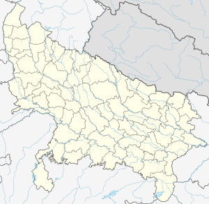
| Map | |||||||||||
| Runways | |||||||||||
| |||||||||||
Palia Airstrip is an airstrip situated near Dudhwa National Park at Palia Kalan in Lakhimpur Kheri District in the Indian state of Uttar Pradesh, 90 km from Lakhimpur City.[1] It is only used by private jets.
Airlines and destinations[edit]
The airport/airstrip has only unscheduled chartered flights.
References[edit]
