

| Karauli State | |||||||
|---|---|---|---|---|---|---|---|
| Princely State of British India | |||||||
| 1348–1949 | |||||||
 Coat of arms
| |||||||
 Karauli State (orange) within Rajputana (yellow), in the Imperial Gazetteer of India (1909) | |||||||
| Capital | Karauli | ||||||
| Area | |||||||
• 1931 | 3,216 km2 (1,242 sq mi) | ||||||
| Population | |||||||
• 1931 | 140,525 | ||||||
| History | |||||||
| History | |||||||
• Established | 1348 | ||||||
| 1949 | |||||||
| |||||||
| Today part of | India · Rajasthan | ||||||

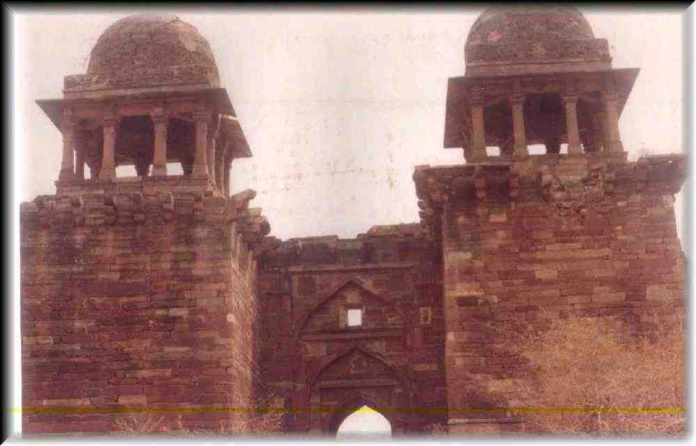
Karauli State was a princely state in the north eastern edge of modern-day Rajasthan, India from 1348 to 1949 ruled by the Jadaun Rajputs.[1][2][3] The area of the former state is located in the cultural Braj region. Karauli was the capital while Mandrayal or Mandrail was another important town.[4][5]
History[edit | edit source]
The rulers of Karauli State belonged to the Jadaun clan of Rajputs and claimed descent from the Yaduvanshi lineage of the Chandravanshi dynasty.[6][7] The founder of the dynasty was Raja Vijay Pal who came from Mathura and founded the fort of Bayana in 1040. Vijay Pal also came into conflict with the Ghaznavid tribes during his reign. Raja Timan Pal (r.1093-1159) was an early important ruler of the dynasty, who extended his domain by conquering the territories of modern-day Dang, Alwar, Bharatpur, Dholpur, Gurgaon, Mathura, Agra and Gwalior. Raja Arjun Pal Dev founded the new capital called "Kalyanpuri" which over time got the current name of Karauli in 1348. Sultan Mahmud Khilji of the Malwa Sultanate invaded and captured Karauli in 1454 which led the kingdom into a decline. The rulers of Karauli shifted to Untagarh and ruled a small territory. During Mughal Emperor Akbar's reign Raja Gopaldas of Karauli got back his ancestral capital of Karauli.[8]
British era[edit | edit source]
The state under the rule of Maharaja Sir Ganesh Pal Dev along with the neighbouring states of Alwar, Bharatpur, and Dholpur acceded to the Dominion of India on 4 August 1947 to form Matsya Union.[9] While being part of Matsya Union Karauli and others later merged with Greater Rajasthan in 1949 and became part of the current state of Rajasthan in the 1950s.
_Karauli_mint._Struck_in_the_name_of_the_Mughal_emperor_Shah_Alam_II._Dated_1784-5_CE.jpg)
_In_the_name_of_Victoria,_Queen_of_Great_Britain_and_Empress_of_India._Dated_1878_CE.jpg)
Maharaja Madan Pal Dev was made a Grand Commander of the Order of the Star of India.[10] The salute of honour, to which the Chiefs of Karauli were entitled, was also enhanced from 15 to 17 in appreciation of the loyal services of Maharaja Madan Pal Dev, who was also decorated with a rich dress of honour.[11][12]
Rulers[edit | edit source]
The rulers were:[13]
- Dharam Pal
- Ratan Pal
- Kuwnar Pal
- Gopal Singh
- Tursam Pal
- Manik Pal
- Amolak Pal
- Harbaksh Pal
- Pratap Pal
- Narsingh Pal
- Bharat Pal
- Madan Pal
- Lakshman Pal
- Jaisingh Pal
- Arjun Pal
- Bhanwar Pal Deo
- Bhom Pal Deo
- Ganesh Pal Deo
References[edit | edit source]
- ↑ Hooja, Rima (2006). A History of Rajasthan. Rupa & Company. ISBN 978-81-291-0890-6.
- ↑ Bayley, C. S. (2004). Chiefs and Leading Families in Rajputana. Asian Educational Services. ISBN 978-81-206-1066-8.
- ↑ Scott-Keltie, J. (27 December 2016). The Statesman's Year-Book. Springer. ISBN 978-0-230-27041-1.
- ↑ Malleson, G. B. (20 November 2023). An Historical Sketch of the Native States of India. BoD – Books on Demand. ISBN 978-3-385-23103-0.
- ↑ Gaur, D. D. (1978). Constitutional Development of Eastern Rajputana States. Usha Publishing House.
- ↑ Knapp, Stephen (29 May 2008). Seeing Spiritual India: A Guide to Temples, Holy Sites, Festivals and Traditions. iUniverse. ISBN 978-0-595-61452-3.
- ↑ Department, India Foreign and Political (1909). A Collection of Treaties, Engagements and Sanads, Relating to India and Neighbouring Countries. Superintendent Government Printing, India.
- ↑ Mohammad Habib, Khaliq Ahmad Nizami (1993). A Comprehensive History of India: Vol. 5. The Delhi sultanat: A.D. 1206-1526; Pt. 2. People's Publishing House. pp. 838–839.
- ↑ New Delhi: States Department, Government of India. 1947. pg. 2, 3, 5. "Karauli State- Instrument of Accession and Standstill Agreement signed between H.H. Maharaja Ganesh Pal Deo Bahadur Yadukul Chandra Bhal, Ruler of Karauli State and the Dominion of India". National Archives of India.
{{cite web}}: CS1 maint: multiple names: authors list (link) CS1 maint: numeric names: authors list (link) - ↑ Gaur, dr d d (1960). Constitutional Development Of Eastern Rajputana States. p. 18.
- ↑ Mehta, Markand Nandshankar (1896). The Hind Rajasthani : an annual of the native states of India. Times, Ahmedabad. pp. 332–334.
- ↑ Gupta, Savitri (1960). Rajasthan District Gazetteers Sawai Madhopur. pp. 40–42.
- ↑ Soszynski, Henry. "KARAULI". members.iinet.net.au. Archived from the original on 18 October 2017. Retrieved 17 January 2026.
External links[edit | edit source]
- Revenue Stamps of the Princely State of Karauli Exhibit by Jiří Černý