.svg)
More plains: Difference between revisions
>Soumya-8974 |
Ajay Kumar (talk | contribs) (Updated the article) Tags: Mobile edit Mobile web edit |
||
| (2 intermediate revisions by 2 users not shown) | |||
| Line 2: | Line 2: | ||
{{Use dmy dates|date=February 2017}} | {{Use dmy dates|date=February 2017}} | ||
{{Use Indian English|date=February 2017}} | {{Use Indian English|date=February 2017}} | ||
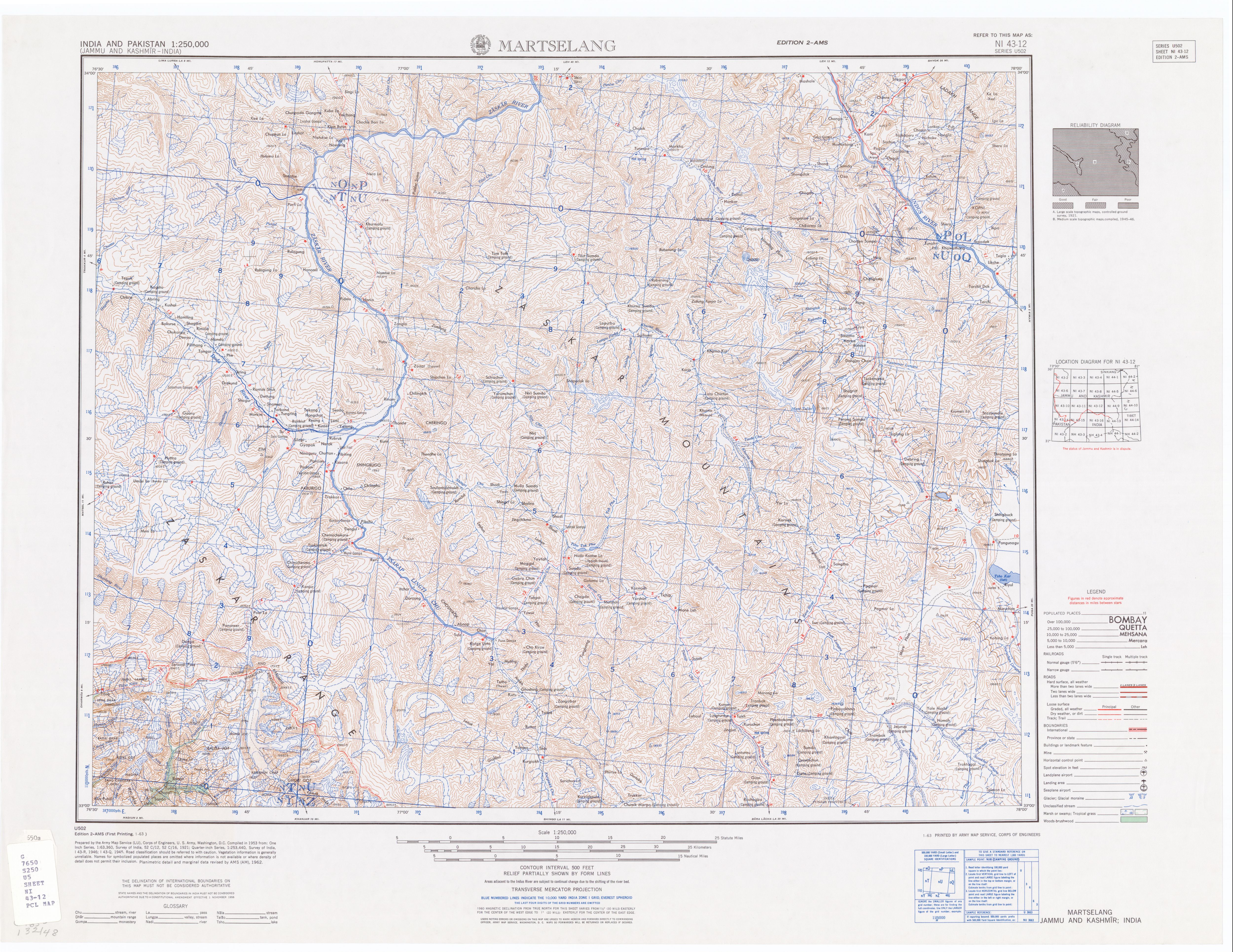
'''More plains''', originally called '''[[Kiang]] Chu Thang''' in the local language, is a plateau on the [[Leh–Manali Highway]]. Kiang Chu Thang means a plain where the [[Kiang|kiang (Tibetan wild ass)]] does not find water.<ref>[Kiang Chu Thang | https://www.youtube.com/watch?v=voGAOfSYBCA&t=1s]</ref> It occupies 40 km of the highway between [[Leh]] and [[ | '''More plains''', originally called '''[[Kiang]] Chu Thang''' in the local language, is a plateau on the [[Leh–Manali Highway]]. Kiang Chu Thang means a plain where the [[Kiang|kiang (Tibetan wild ass)]] does not find water.<ref>[Kiang Chu Thang | https://www.youtube.com/watch?v=voGAOfSYBCA&t=1s]</ref> It occupies 40 km of the highway between [[Leh]] and [[Pang, Ladakh|Pang]]. The plateau has an average elevation of 4,800 metres. The road is flanked by beautiful mountains on both sides. At some places, it runs along the Sumkhel Lungpa River, featuring stunning sand and rock natural formations.<ref>[http://www.lib.utexas.edu/maps/ams/india/ni-43-12.jpg Series U502, U.S. Army Map Service, map of quadrant ni-43-12]</ref> | ||
[[File:Moreplains1.jpg|thumb|Straight stretches of the More Plains]] | [[File:Moreplains1.jpg|thumb|Straight stretches of the More Plains]] | ||
| Line 10: | Line 10: | ||
[[File:Moreplains5.jpg|thumb|Natural Rock and Sand Formations along the Sumkhel Lungpa River]] [[File:Moreplains6.jpg|thumb|Natural Rock and Sand Formations along the Sumkhel Lungpa River]] [[File:Moreplains7.jpg|thumb|Natural Rock and Sand Formations along the Sumkhel Lungpa River]] | [[File:Moreplains5.jpg|thumb|Natural Rock and Sand Formations along the Sumkhel Lungpa River]] [[File:Moreplains6.jpg|thumb|Natural Rock and Sand Formations along the Sumkhel Lungpa River]] [[File:Moreplains7.jpg|thumb|Natural Rock and Sand Formations along the Sumkhel Lungpa River]] | ||
The plain area starts after covering around 4 km uphill road from Pang towards [[Tanglang La]] pass. The road is mostly on the plain for | The plain area starts after covering around 4 km uphill road from Pang towards [[Tanglang La]] pass. The road is mostly on the plain for approximately 35 km, before it again starts to rise to Tanglang La. This area is a major attraction to bikers heading towards Leh from Manali. The [[Border Roads Organisation]] (BRO) of [[Indian Army]] has converted the road to two lanes, one in each direction. | ||
The area is without any population or development. | The area is without any population or development. | ||
| Line 18: | Line 18: | ||
==References== | ==References== | ||
{{Reflist}} | {{Reflist}} | ||
{{India-stub}} | {{India-stub}} | ||
Latest revision as of 11:41, 4 July 2023
More plains, originally called Kiang Chu Thang in the local language, is a plateau on the Leh–Manali Highway. Kiang Chu Thang means a plain where the kiang (Tibetan wild ass) does not find water.[1] It occupies 40 km of the highway between Leh and Pang. The plateau has an average elevation of 4,800 metres. The road is flanked by beautiful mountains on both sides. At some places, it runs along the Sumkhel Lungpa River, featuring stunning sand and rock natural formations.[2]


The plain area starts after covering around 4 km uphill road from Pang towards Tanglang La pass. The road is mostly on the plain for approximately 35 km, before it again starts to rise to Tanglang La. This area is a major attraction to bikers heading towards Leh from Manali. The Border Roads Organisation (BRO) of Indian Army has converted the road to two lanes, one in each direction.
The area is without any population or development.
See also[edit]
References[edit]
This India-related article is a stub. You can help Wikipedia by expanding it. |
| History |
| ||||||||||||||||||
|---|---|---|---|---|---|---|---|---|---|---|---|---|---|---|---|---|---|---|---|
| Administration | |||||||||||||||||||
| Geography |
| ||||||||||||||||||
| Human settlements | |||||||||||||||||||
| Culture |
| ||||||||||||||||||
| Tourism and wildlife |
| ||||||||||||||||||
| Transport |
| ||||||||||||||||||
| Infrastructure |
| ||||||||||||||||||
| See also |
| ||||||||||||||||||
Coordinates: 33°12′00″N 77°48′00″E / 33.2000°N 77.8000°E
This Himachal Pradesh location article is a stub. You can help Wikipedia by expanding it. |