

This article needs additional citations for verification. (September 2020) |
Mayyil | |
|---|---|
 Velam public library | |
 Mayyil Location in Kerala, India  Mayyil Mayyil (India) | |
| Coordinates: 12°02′N 75°28′E / 12.04°N 75.46°E | |
| Country | |
| State | Kerala |
| District | Kannur |
| Taluk | Taliparamba |
| Government | |
| • Type | Panchayati raj (India) |
| • Body | Mayyil Grama Panchayat |
| Area | |
| • Total | 33.08 km2 (12.77 sq mi) |
| Elevation | 45 m (148 ft) |
| Population (2011)[2] | |
| • Total | 29,649 |
| • Density | 900/km2 (2,300/sq mi) |
| Languages | |
| • Official | Malayalam, English |
| Time zone | UTC+5:30 (IST) |
| PIN | 670602 |
| ISO 3166 code | IN-KL |
| Vehicle registration | KL59 |
| Nearest city | Kannur |
| Assembly constituency | Taliparamba |
| Lok Sabha constituency | Kannur |


Mayyil is a Census Town and Grama Panchayat in Kannur District of Kerala State. Mayyil Panchayat established in 1962 by merging the villages of Kayaralam, Mayyil and Kandakkai.[3][4]
Location[edit | edit source]
Mayyil is situated 20 km North East of District HQ Kannur, 13 km South East of Taliparamba, 20 km North West of Mattannur, 13 km South West of Sreekandapuram and 16 km West of Irikkur.
Educational institutions[edit | edit source]
- IMNS GHSS, Mayyil
- MAYYIL ALP School, Mayyil
- Institute of Technology, Mayyil
- ITM Arts & Science College, Mayyil
- Kayaralam AUP School
- Kayaralam North ALP School
- ITM Public School, Mayyil
- Mayyil Teacher Training Institute, Mayyil
- Mullakkodi AUP School, Arimbra, Mullakkodi
- Mullakkodi LP School, Mullakkodi
- Kandakkai K V A L P school, Kandakkai
- Kandakai LP School, Kandakai
- Thayampoyil ALP School, Thayampoyi
- Perumachery AUP school, Perumachery
- Pavannur ALP School, Pavannur
- Peruvangoor ALP School, Peruvangoor
- Spangle Academy, Professional Training, Kambil
- Cherupazhassi ALP School, Cherupazhassi [5]
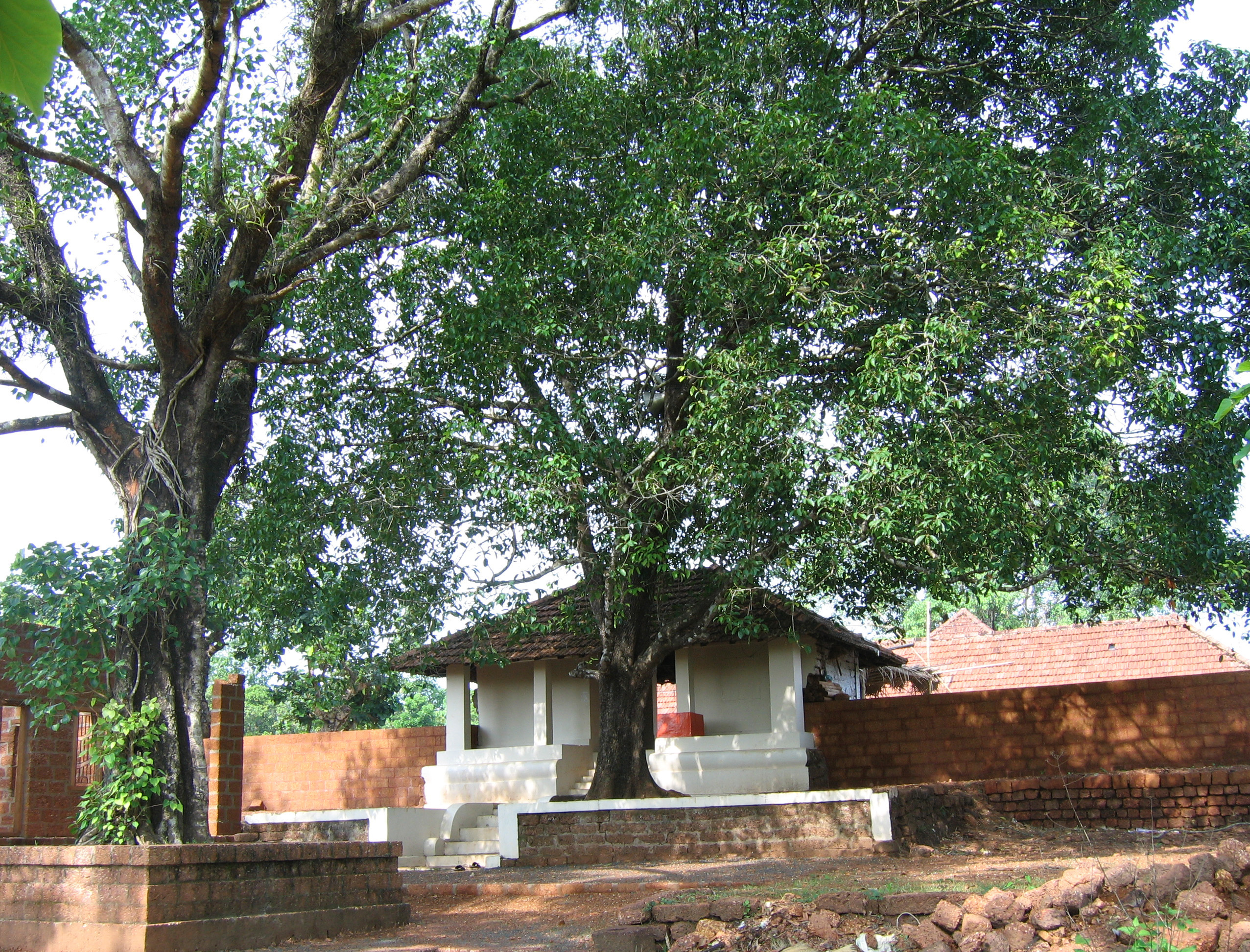
Temples[edit | edit source]
- Velam maha ganapathi temple
- Chekiyattu sree darmashata temple
- Chekiyattu sree maha vishnu temple
- Nechikottu kavu, Kayaralam
- Chalagottu kavu, Kandakkai
- Arimbra Subhramanya Temple
- Sree Puthiya Bhagavathi Kaavu, Kaavinmoola
- Kandanaar Poyil Sree Muchilott Bhagavathi Kshethram, Cherupazhassi
- Kadoor Sree Ganapathi Shethram, Kadoor
- Udayam kottam shiva kshethram, kadoor ambalam
- Nambram Sree Muchilott Bhagavathi Kshethram, Naniyoor Nambram
- Kandakkai Kunnummal Muthappan Madappura
- Karonnan Kottam, Kayaralam
- Thalakkott Muchilott Kavu
- Thrikapaleswaram Sree Durga Devi Kshethram, Cherupazhassi
Administration[edit | edit source]
Mayyil Panchayat is part of Irikkur Block Panchayat. Mayyil is politically a part of Taliparamba Assembly constituency under Kannur Loksabha constituency.[6]
Transportation[edit | edit source]
The national highway(NH 66) passes through Puthiyatheru (15 km South West), Dharmasala (11 km West), Taliparamba (13 km North West) away from Mayyil Town. Goa and Mumbai can be accessed on the northern side and Cochin and Thiruvananthapuram can be accessed on the southern side. The road to the east of Iritty connects to Mysore and Bangalore. The nearest railway station is Kannur on Mangalore-Palakkad line. Trains are available to almost all parts of India subject to advance booking over the internet. There are airports at Mattanur, Mangalore and Calicut. All of them are international airports but direct flights are available only to Middle Eastern countries. Newly inaugurated Kannur International Airport (Mattannur) is 22 km away from Mayyil, and the proposed 4 line airport road from Taliparamba to Mattannur passes through Mayyil.
Demographics[edit | edit source]
As of 2011 Indian census, Mayyil census town had population of 12,490 among which 5,768 are males and 6,722 are females. Total geographic area of mayyil census town is 12.77 km2 (4.93 sq mi). Population of age group in 0-6 was 1,557 (12.5%) which constitutes 771 males and 786 females. Literacy rate of Mayyil town was 92.7% lower than state average of 94% where male literacy was 96.2% while female literacy rate was 89.7%.
Mayyil Grama Panchayat had total population of 29,649 which constitutes 13,810 males and 15,839 with an area spreads over 33.1 km2 (12.8 sq mi) and 6,387 households. Mayyil panchayat has administration over Mayyil census town (urban) and Kayaralam village (rural).[7]
Religion[edit | edit source]
As of 2011 India census, Mayyil census town had total population of 12,490 which constitute 59.8% Hindus, 40% Muslims and 0.2% others.[8]
Geography[edit | edit source]
Mayyil is surrounded by around half of its boundary by Valapattanam river.
Libraries[edit | edit source]
Almost every road in this grama panchayat in Kerala's Kannur district leads to or ends with a library. The panchayat, which has a population of a little over 30,000 people in 33.08 km2 (12.77 sq mi) with a literacy rate of 93.52 percent, boasts 34 functioning libraries, the highest for a local body in Kerala state.[9][10]
References[edit | edit source]
- ↑ "Topographic map of Mayyil, Kannur, India".
- ↑ "കണ്ണൂര് ജില്ലയിലെ ഗ്രാമ പഞ്ചായത്തുകളുടെ അടിസ്ഥാന വിവരങ്ങള് | Deparyment of Panchayats". Archived from the original on 18 November 2025. Retrieved 23 July 2022.
- ↑ "Kerala (India): Districts, Cities and Towns - Population Statistics, Charts and Map".
- ↑ "DE Status". Archived from the original on 14 June 2021. Retrieved 5 October 2021.
- ↑ "Higher Education Institutes in Kannur University".
- ↑ "Assembly Constituencies - Corresponding Districts and Parliamentary Constituencies" (PDF). Kerala. Election Commission of India. Archived from the original (PDF) on 4 March 2009. Retrieved 18 October 2008.
- ↑ Kerala, Directorate of Census Operations. District Census Handbook, Kannur (PDF). Thiruvananthapuram: Directorate of Census Operations, Kerala. p. 180,181,278,279. Retrieved 14 July 2020.
- ↑ "Religion – Kerala, Districts and Sub-districts". Census of India 2011. Office of the Registrar General.
- ↑ "MAYYIL ..CM declares village in Kannur as nation's first with a fully digital library facility". www.ezhavainternational.com. Retrieved 15 September 2020.
- ↑ "This panchayat in Kerala has fifteen libraries". New Indian Express.