


With a land area of 3,287,263 km2 (1,269,219 sq mi) consisting of diverse ecosystems, India has many rivers systems and perennial streams.[1] The rivers of India can be classified into four groups – Himalayan, Deccan, Coastal, and Inland drainage. The Himalayan rivers, mainly fed by glaciers and snow melt, arise from the Himalayas. The Deccan rivers system consists of rivers in Peninsular India, that drain into the Bay of Bengal and the Arabian Sea. There are numerous short coastal rivers, predominantly on the West coast. There are few inland rivers, which do not drain into sea.[2][3]
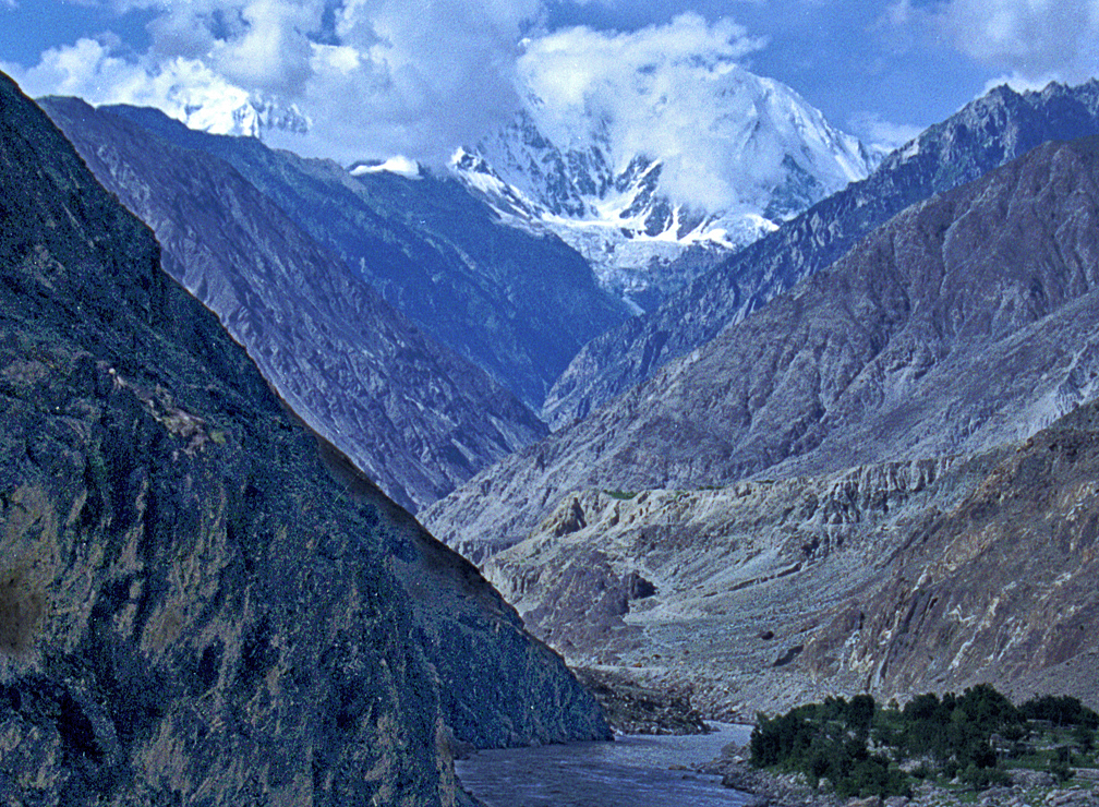
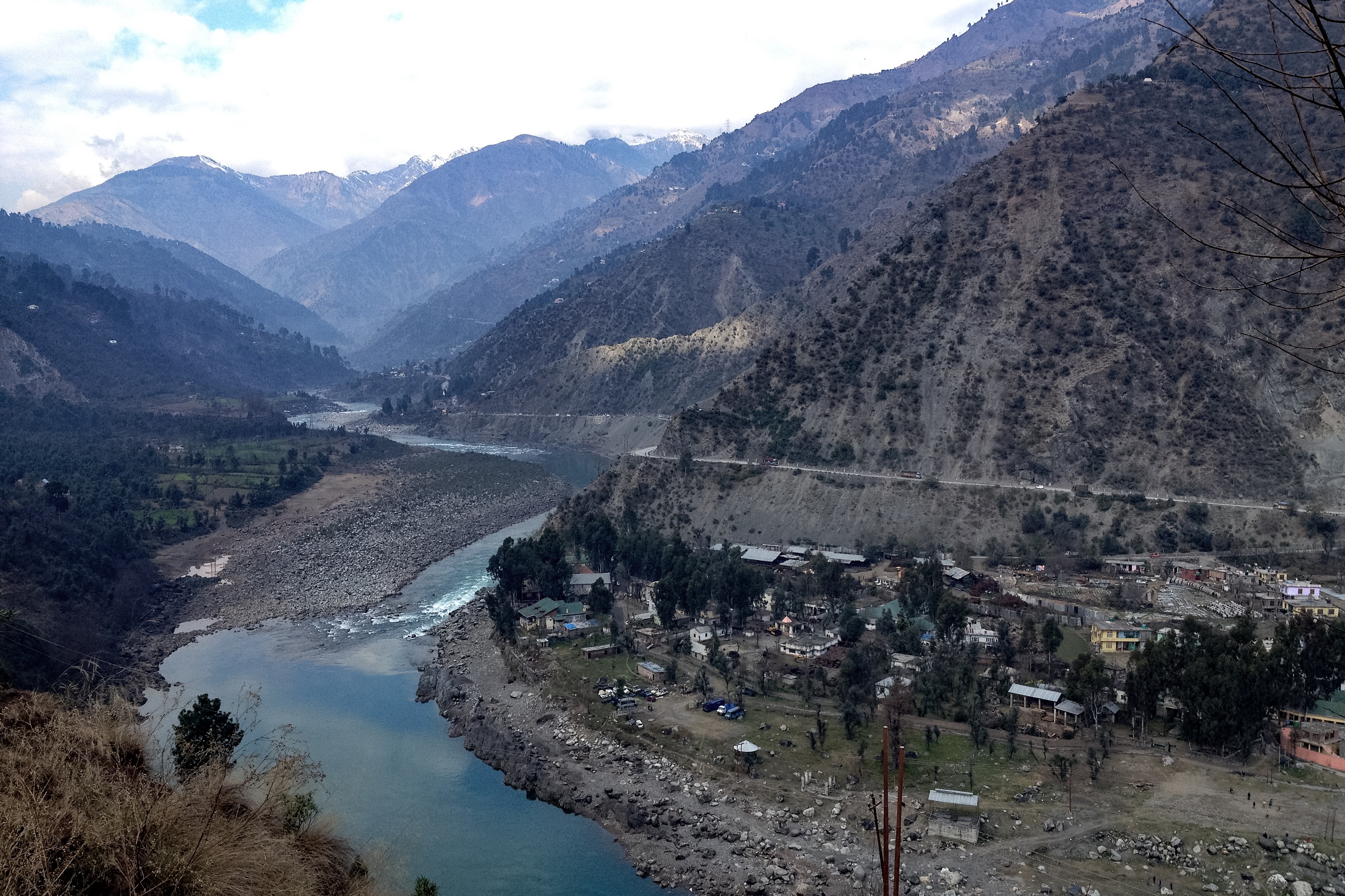
Most of the rivers in India originate from the four major watersheds in India. The Himalayan watershed is the source of majority of the major river systems in India including the three longest rivers–the Ganges, the Brahmaputra and the Indus.[3][4] These three river systems are fed by more than 5000 glaciers.[5] The Aravalli range in the north-west serves the origin of few of the rivers such as the Chambal, the Banas and the Luni rivers.[4]
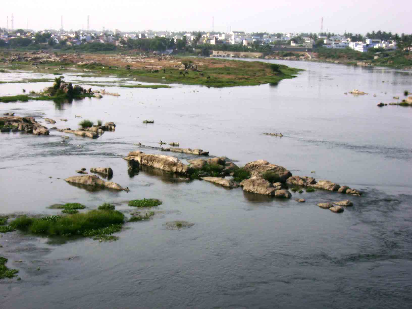
The Narmada and Tapti rivers originate from the Vindhya and Satpura ranges in Central India.[4] In the peninsular India, majority of the rivers originate from the Western Ghats and flow towards the Bay of Bengal, while only a few rivers flow from east to west from the Eastern Ghats to the Arabian sea. This is because of the difference in elevation of the Deccan plateau, which slopes gently from the west to the east.[6] The largest of the peninsular rivers include the Godavari, the Krishna, the Mahanadi and the Kaveri.[3][4]
River systems[edit | edit source]

As per the classification of Food and Agriculture Organization, the rivers systems are combined into 20 river units, which includes 14 major rivers systems and 99 smaller river basins grouped into six river units. The Ganges-Brahmaputra-Meghna basin is the largest, which covers 34% of the land area and contributes to nearly 59% of the available water resources.[2]
Page Template:Sticky header/styles.css has no content.
| River unit | Region | Draining into | Catchment area (% of land area) |
Average annual runoff (km3) |
Surface water (km3) |
|---|---|---|---|---|---|
| Ganges-Brahmaputra-Meghna | North-east | Bangladesh | 34.0 | 610.62 | 294.0 |
| Other North-east rivers | Bangladesh, Myanmar | 1.1 | 31.0 | ||
| Subarnarekha | Bay of Bengal | 0.9 | 12.4 | ||
| Brahmani-Baitarani | 1.6 | 28.5 | 6.8 | ||
| Mahanadi | Central-east | 4.4 | 66.9 | 18.3 | |
| East flowing rivers between Mahanadi and Pennar | 2.7 | 22.5 | 19.0 | ||
| Godavari | Central | 9.7 | 110.5 | 50 | |
| Krishna | 8.0 | 78.1 | 76.3 | ||
| Pennar | South-east | 1.7 | 6.3 | 58.0 | |
| East flowing rivers between Pennar and Kanyakumari | 3.1 | 16.5 | 13.1 | ||
| Kaveri | South | 2.5 | 21.4 | 6.9 | |
| West flowing rivers between Tadri and Kanyakumari | South-west | Arabian Sea | 1.7 | 113.5 | 16.7 |
| West flowing rivers between Tapti and Tadri | Southwest | 1.7 | 87.4 | 24.3 | |
| Tapti | Central-west | 2.0 | 14.9 | 11.9 | |
| Narmada | 3.1 | 45.6 | 14.5 | ||
| Mahi | North-west | 1.1 | 11.0 | 34.5 | |
| Sabarmati | 0.7 | 3.8 | 3.1 | ||
| West flowing rivers between Kutch and Saurashtra | 10.0 | 15.1 | 1.9 | ||
| Rajasthan inland basin | North-east | None | Negligible | Negligible | 15.0 |
| Indus tributaries | North-west | Pakistan | 10 | 73.3 | 46.0 |
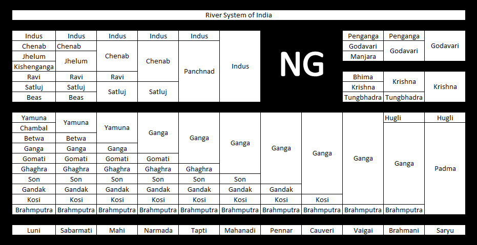
List of rivers[edit | edit source]
Page Template:Sticky header/styles.css has no content.


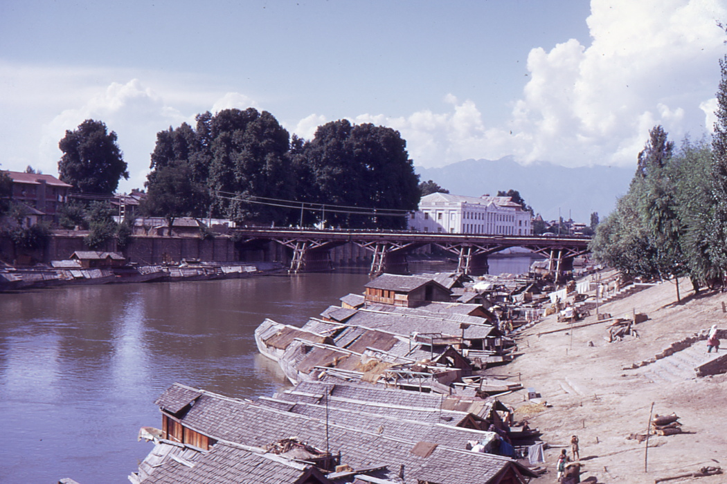
,_1969,_bridge_over_the_Jelhum_river..jpg)


See also[edit | edit source]
Notes[edit | edit source]
- ↑ 1.0 1.1 1.2 The Jhelum and Ravi join the Chenab, the Beas River joins the Sutlej. Later the Chenab joins with the Sutlej to form the Panjnad River, which merges with the Indus.
- ↑ The Indus River Delta is mostly in the Sindh province of Pakistan with a small portion in the Kutch Region of India.
- ↑ Brahmaputra splits into two distributaries with the western branch merging with the lower Ganga to form the Padma River and the eastern branch joining with the Meghna River. The Padma and Meghna rivers converge to form the Ganges Delta and flow out into the Bay of Bengal.
References[edit | edit source]
- ↑ "India at a glance". Know India. Government of India. Retrieved 1 June 2024.
- ↑ 2.0 2.1 India – Rivers Catchment (PDF). Food and Agriculture Organization (Report). 2011. Archived from the original (PDF) on 11 April 2014. Retrieved 1 June 2013.
- ↑ 3.0 3.1 3.2 3.3 "Rivers of India". Know India. Government of India. Retrieved 1 June 2024.
- ↑ 4.0 4.1 4.2 4.3 "Major River basins of India". MS Swaminathan Research Foundation. Retrieved 1 June 2024.
- ↑ "Comparison and Monitoring of Glacier Retreat using Satellite and Ground Methods" (PDF). International Journal of Soft Computing and Engineering. March 2013. p. 361. ISSN 2231-2307. Archived from the original (PDF) on 14 May 2015. Retrieved 3 September 2015.
- ↑ "Formation of Western Ghats". Indian Institute of Science. Archived from the original on 21 May 2024. Retrieved 1 December 2023.