


Template:Infobox place geography

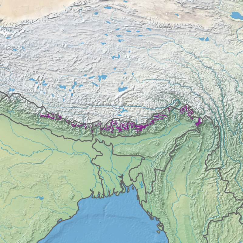
Arunachal Pradesh is primarily a hilly tract nestled in the foothills of the Himalayas in northeast India. It is spread over an area of 83,743 km2 (32,333 sq mi).[1] 98% of the geographical area is land out of which 80% is forest cover;[2] 2% is water.[3] River systems in the region, including those from the higher Himalayas and Patkoi and Arakan Ranges, eventually drain into the Brahmaputra River.[4]
Elevation ranges from mountains that are above 7,000 metres (23,000 ft),[5] to the towns in the plains with an elevation of less than 300 metres (980 ft).[6] Arunachal shares international borders with Bhutan, Tibet (China) and Burma (Myanmar). Internally, Arunachal borders the states of Assam and Nagaland. Arunachal is called the "orchid state of India"[7][8] and "dawn-lit mountain/Land of Dawn/Land of Dawn-Lit Mountains".[9][10]
Area and borders[edit | edit source]
Arunachal Pradesh is located in northeast India, bordering Bhutan, Tibet (China) and Myanmar internationally.[11] The border with Bhutan is 160 km (99 mi), the China border is 1,080 km (670 mi), and the Myanmar border is 440 km (270 mi).[11] Internal borders includes the Assam-Arunachal Pradesh border 804.1 km (499.6 mi),[12] while the border with Nagaland is 55 km (34 mi).
The territory covers 83,743 km2 (32,333 sq mi).[1] 98% of the geographical area is land.[2] Most of this land state is hilly terrain, with flat land covering about 4,450 km2 (1,720 sq mi).[11] Water covers 2% of the area.[3] It is the 14th largest among the states and union territories of India by area.[13]
Physical geography[edit | edit source]
Topography and relief[edit | edit source]
Relief range varies between plains that are a few hundred meters in height and mountains above 7,000 metres (23,000 ft).[14] The elevation of the towns of Naharlagun, Pasighat and Tezu in the south are 290 m, 155 m and 210 m respectively,[6] while Kangto, Nyegi Kangsang and the Gorichen group of mountains are some of the highest peaks in this region of the Himalayas.[15] The southern borders of Arunachal Pradesh are encompassed by the Shivalik ranges which merge into plains.[14] The hills and mountains have associated features such as valleys and intermontane plateaus, that is plateaus between mountains.[14]
Lua error in Module:OSM_Location_map at line 1984: attempt to index field 'wikibase' (a nil value).
| Mountain name | Peak | Coordinates | Refs |
|---|---|---|---|
| Kangto # | 7,089 metres (23,258 ft) | 27°51′54″N 92°31′55″E / 27.865°N 92.532°E | [5][20] |
| Nyegyi Kansang # | 7,047 metres (23,120 ft) | 27°56′10″N 92°39′58″E / 27.936°N 92.666°E | [21] |
| Chumo # | 6,890 metres (22,600 ft) | 27°54′32″N 92°37′30″E / 27.909°N 92.625°E | [22] |
| Tapka Shiri # ** | 6,565 metres (21,539 ft) | 28°10′34″N 92°46′01″E / 28.176°N 92.767°E | [5][23] |
| Gori Chen | 6,530 metres (21,420 ft) | 27°47′42″N 92°23′13″E / 27.795°N 92.387°E | [24][25] |
| Shalundi | 4,810 metres (15,780 ft) | [5] | |
| Dapha Bum | 4,578 metres (15,020 ft) | 27°39′36″N 96°41′56″E / 27.660°N 96.699°E | [5][26] |
| Komdi | 4,185 metres (13,730 ft) | [5] | |
| Vorjing | 3,991 metres (13,094 ft) | 28°31′30″N 94°06′00″E / 28.525°N 94.100°E | [5] |
| Ladu | 3,041 metres (9,977 ft) | [5] | |
# Mountain (as compared to the peak) is located in both India and China
| |||
.jpg)

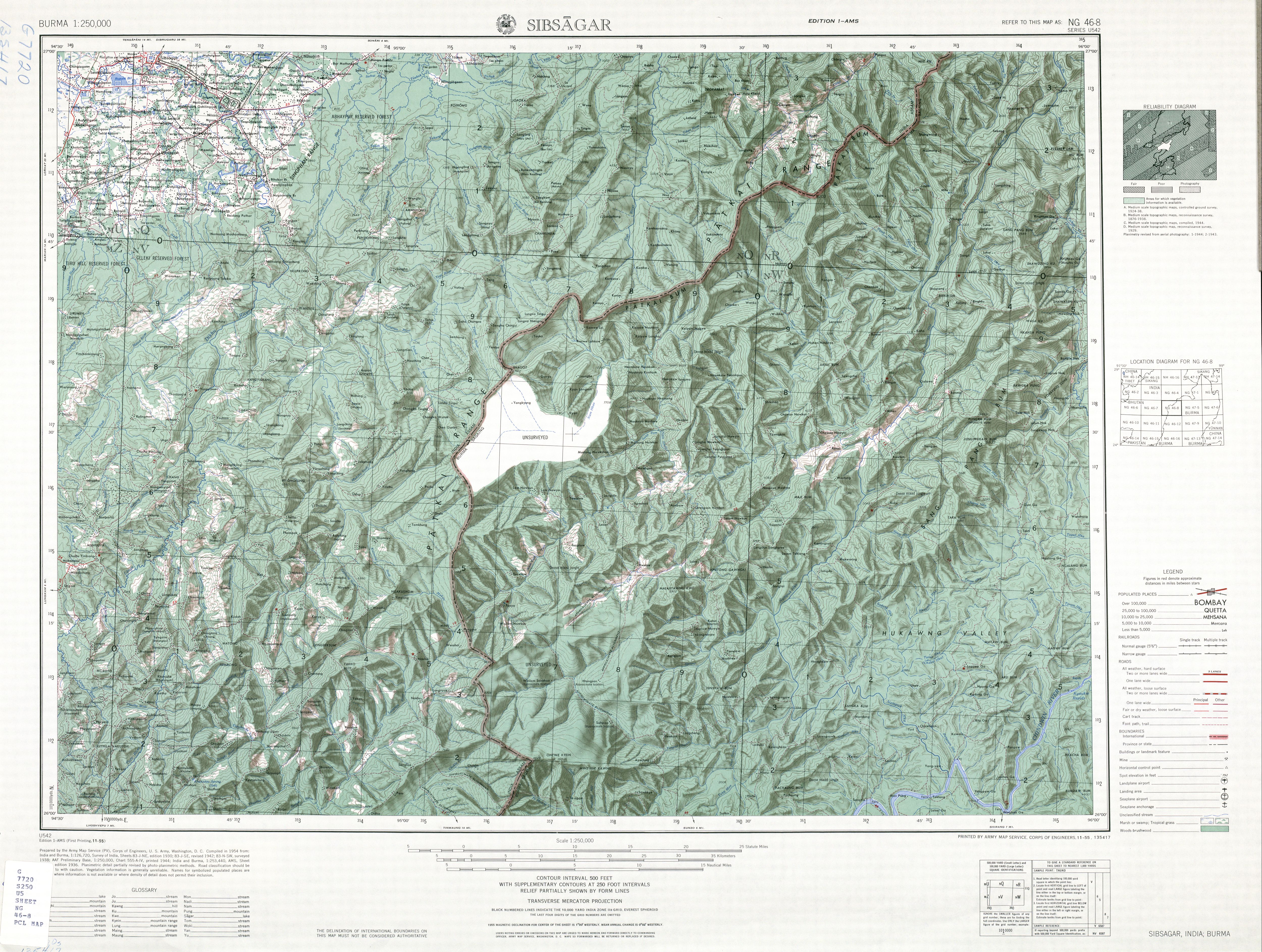
Parts of the Lohit district, Changlang district and Tirap district are covered by the Patkai hills. The hills extend towards Nagaland, and form a natural boundary between India and Burma.[27][28]
Namcha Barwa Himal range extends into India up to Siyom River.[29]
Major hills found in this region include:[30]
- Aka Hills
- Daphla Hills
- Miri Hills
- Abor Hills
- Mishmi Hills
- Patkai Hills
Lua error in Module:OSM_Location_map at line 1984: attempt to index field 'wikibase' (a nil value).
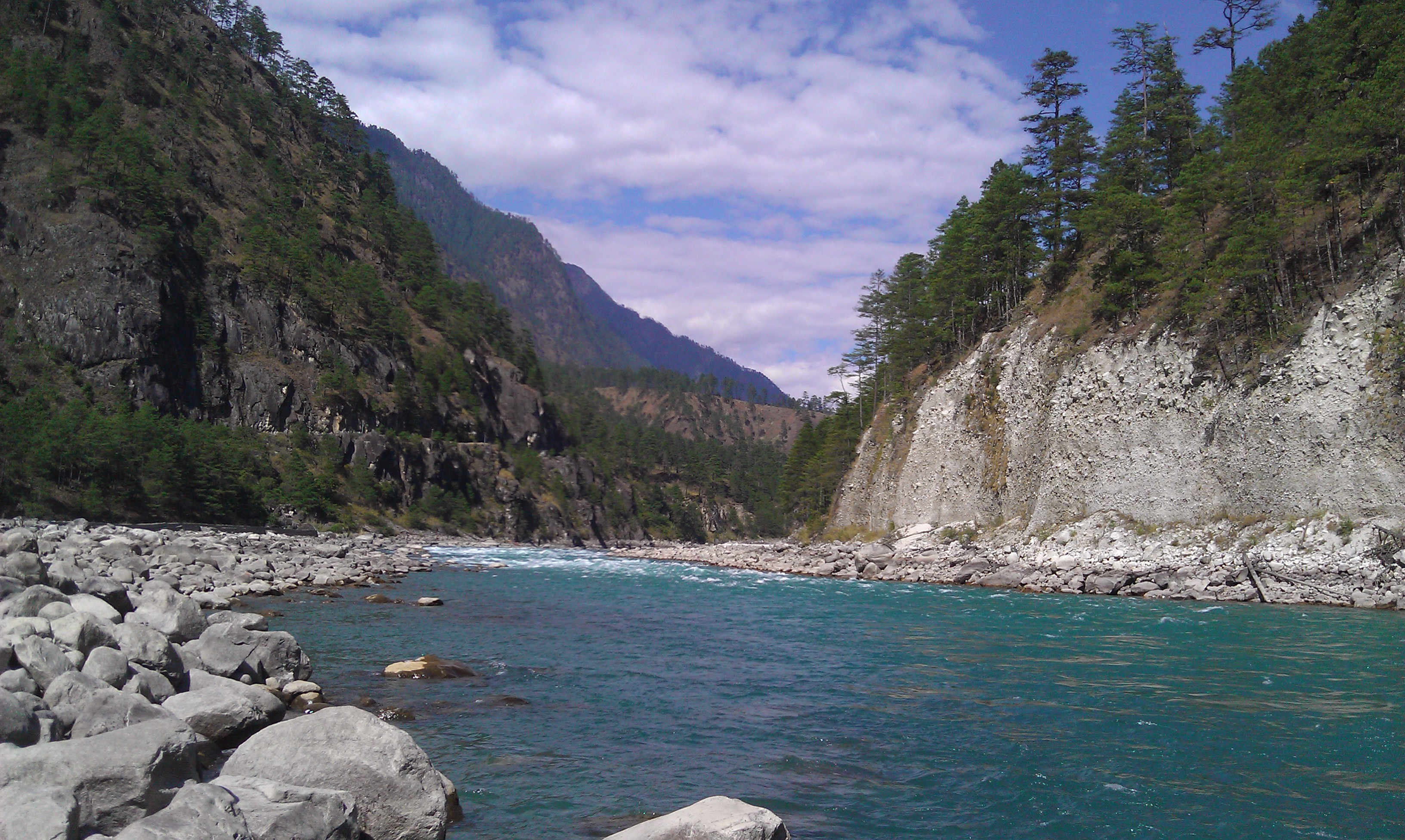
Drainage and river systems[edit | edit source]
Water/wetland cover is 154,609 hectares (1,546.09 km2) or 1.91% of the total area.[3] Out of this, 86% of wetlands are rivers.[3] Lohit district and Dibang Valley district have the highest number of wetlands in the state.[3]


The major river systems are (from west to east clockwise):[33][34]
All of these are fed by snow from the Himalayas and numerous rivers and rivulets and eventually flow into Siang/Brahmaputra. Abrasion by the rivers which flow through the mountains has created a broad valley, which is a major feature of the geography of the state.

Other rivers include Tawang Chu, Dikrong, Ranga, Kamala/Kamla, Kamplang, Siyum, Dihing/ Noadihing and Tirap.[35]

- Four major river basins of the state
-
 Kameng River Basin
 -
 Subansiri River basin
 -
 Dibang River basin
 -
 Lohit River basin


Biodiversity[edit | edit source]
Eco-regions and forest types[edit | edit source]
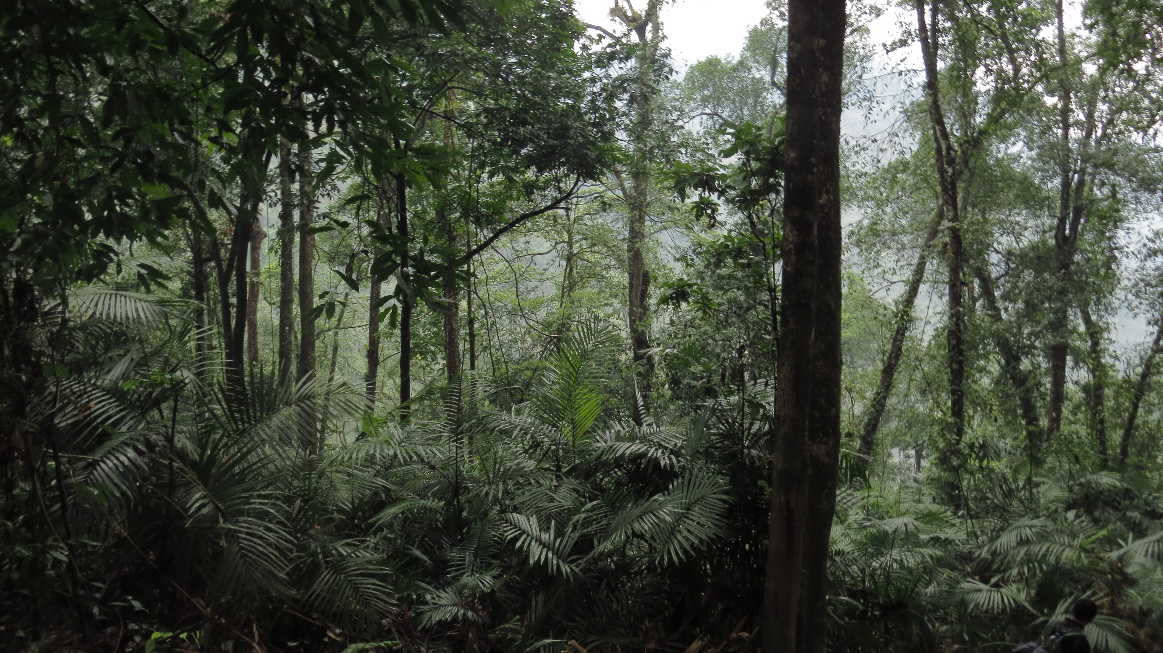
Arunachal consists of a number of eco-regions. At the lowest elevations, at Arunachal Pradesh's border with Assam, are the Brahmaputra Valley semi-evergreen forests. Much of the state, including the Himalayan foothills and the Patkai hills, are home to Eastern Himalayan broadleaf forests. Towards the northern border with Tibet, with increasing elevation, come a mixture of Eastern and Northeastern Himalayan subalpine conifer forests followed by Eastern Himalayan alpine shrub and meadows.[citation needed]
- Ecoregions
-

-
-

-

-


Climatically, the forests can be categorised as Tropical forests, subtropical forests, temperate forest, subalpine coniferous forest, alpine and secondary forests.[36][37] At the lowest elevations, densely forested areas are seen with the trees ranging from seasonal tropical forest to broadleaf and semi-alpine coniferous forests. Alpine shrubs and meadows follow, ultimately leading to ice-clad peaks.

The Forest Research Institute of India's India State of Forest Report 2019 lists area under different forest types in the state.[38] The major forest types as a percentage of the forest cover area are:
- East Himalayan Sub-Tropical Wet Hill Forest = 24.35%[38]
- East Himalayan Wet Temperate Forest = 22.92%[38]
- East Himalayan Sub-Alpine Birch/Fir Forest = 13.46%[38]
- Alpine Pastures = 6.73%[38]
- Sub-Himalayan Light Alluvial Semi-Evergreen Forest = 6.60%[38]
- Others = Remaining[38]
Forest cover varies from 54% in Tawang district to 92% in Papum Pare district.[39] There are 110 species of trees.[38]
Protected areas include the Dihang-Dibang Biosphere Reserve, Namdapha National Park, Mouling National Park, and 11 wildlife sanctuaries and reserves including elephant reserves, tiger reserves and an orchid sanctuary,[lower-alpha 1] covering about 12% of the geographical area of the state.[40]
Flora and fauna[edit | edit source]
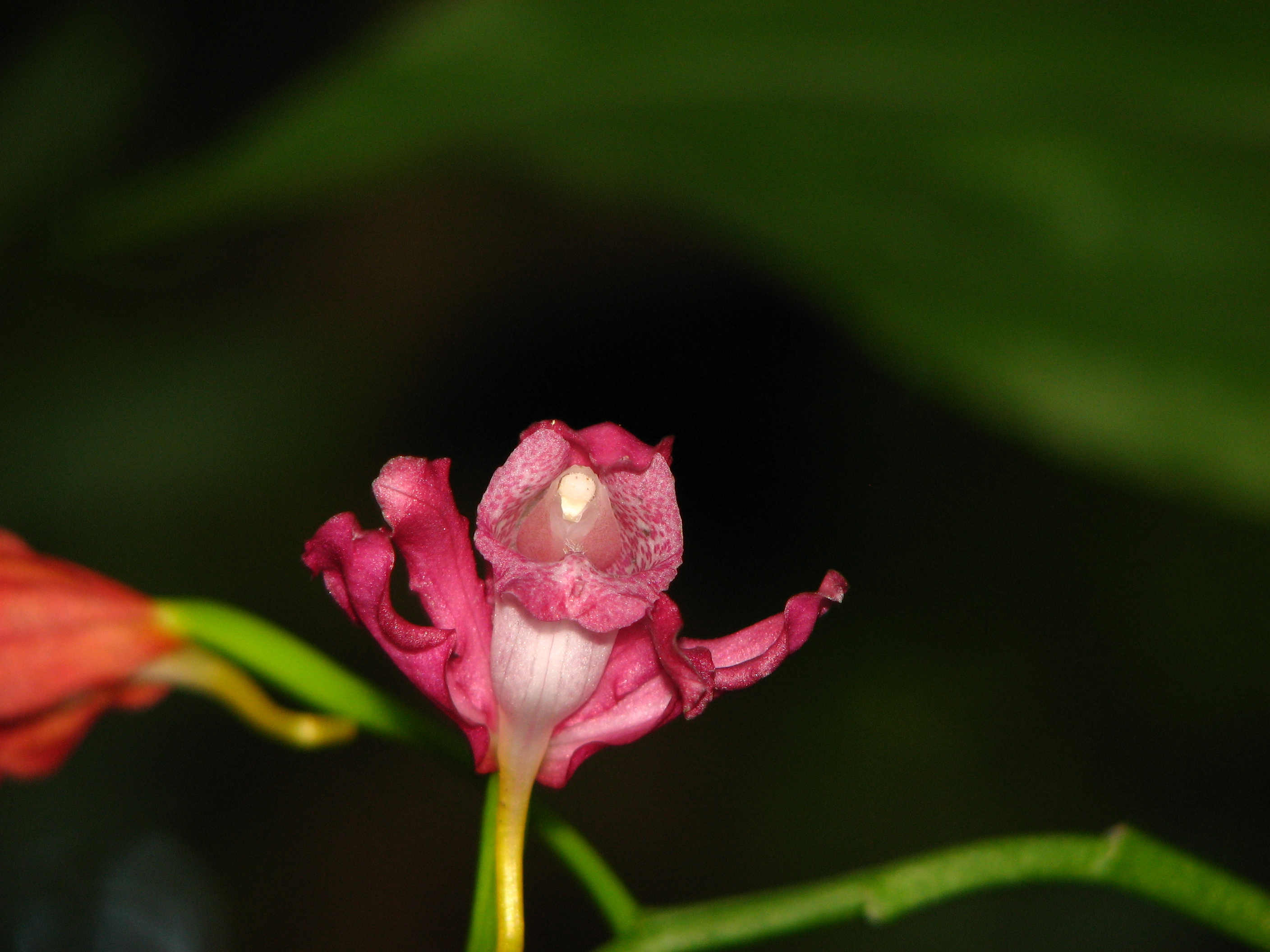
Flora and fauna in the state includes over 4000 species of flowering plants,[41] 600 bird species, 200 fish species,[42] 42 amphibian species, 85 terrestrial mammals and a wide number of insects, butterflies and reptiles.[36][43] Orchids, fern, bamboo, cane, rhododendrons, oak, hedychiums, and various medicinal plants form a diverse range of the state's green cover. Among the crops grow are rice, nigros, maize, millet, wheat, pulses, sugarcane, ginger, and oilseeds. Arunachal is also ideal for horticulture and fruit orchards. Its major industries are rice mills, fruit preservation and processing units, and handloom handicrafts Apart from them, the forests of Arunachal are also home to a large number of people belonging to the different tribes. These tribal people, aloof from urbanization, dwell in these forests where the various forest-based products form a part of their livelihood. Right from the south of the state where the altitude is low we get to see a variety of trees like teak, sal, gutjan, more.
-
 The Strobilanthus flower at the Namdapha National Park
 -
 Hornbills at the Namdapha National Park
 -
 Male azure sapphire
 -

-
 View of Eaglenest forest canopy


_(40297843010).jpg)

Climatic conditions[edit | edit source]

As per the Köppen–Geiger climate classification system, the most prevalent climate types in the state are humid subtropical climate and monsoon-influenced humid subtropical climate.[44] Other climates include subtropical highland climate, monsoon-influenced warm-summer humid continental climate and monsoon-influenced subarctic climate.[44]
The regions in the lower belts of the state experience hot and humid climates, with a maximum temperature in the foothills reaching up to 40 °C (during the summer). The average temperature in this region in winter ranges from 15° to 21 °C while that during the monsoon season remains between 22° and 30 °C.[45][46][47]
Arunachal Pradesh experiences heavy rainfall during May to September. The average rainfall recorded in Arunachal Pradesh is 300 centimeters, varying between 80 centimeters and 450 centimeters.[48]
Human geography[edit | edit source]
Demographics[edit | edit source]
Administrative divisions[edit | edit source]
Template:Arunachal Pradesh districts
See also[edit | edit source]
References[edit | edit source]
- Notes
- ↑ D'Ering Memorial Wildlife Sanctuary, Dibang Wildlife Sanctuary, Eaglenest Wildlife Sanctuary, Itanagar Wildlife Sanctuary, Kameng Elephant Reserve, Kamlang Wildlife Sanctuary, Mehao Wildlife Sanctuary, Pakke Tiger Reserve, Talle Valley Wildlife Sanctuary, Dibang Wildlife Sanctuary and Sessa Orchid Sanctuary
- References
- ↑ 1.0 1.1 "Arunachal Pradesh: Physiography, At a glance". gbpihedenvis.nic.in. Hosted by: G.B. Pant National Institute of Himalayan Environment and Sustainable Development. Sponsored by: Ministry of Environment, Forest & Climate Change, Govt of India. ENVIS Centre on Himalayan Ecology. Retrieved 23 June 2021.
{{cite web}}: CS1 maint: others (link) - ↑ 2.0 2.1 ISFR Vol 1, Forest Survey of India (2019), pg. 24.
- ↑ 3.0 3.1 3.2 3.3 3.4 Space Applications Centre, ISRO (2009), pg. 19.
- ↑ Sharma & Shukla 1992, p. 6–7.
- ↑ 5.0 5.1 5.2 5.3 5.4 5.5 5.6 5.7 Singh 2005, p. 5.
- ↑ 6.0 6.1 6.2 State Profile of Arunachal Pradesh, Branch MSME Itanagar (2013), pg. 41.
- ↑ "4 Reasons Why Arunachal Pradesh is a Natural Wonderland". Outlook India Traveller. 26 June 2018. Retrieved 23 June 2021.
We may as well call Arunachal a flowery paradise. Arunachal is also called Orchid State of India
- ↑ "Launching IUCN Red-listing Process for Orchids in Arunachal Pradesh, India". IUCN. 3 December 2020. Retrieved 23 June 2021.
The biodiversity rich North-East States in India are endowed with over 870 species in 159 genera constituting over 73% of the total Orchid species reported from India. Arunachal Pradesh has the highest number of orchid species (around 622 species) reported from the state. Arunachal Pradesh has also been termed as 'Orchid Paradise of India' because of the maximum concentration of orchid species (about 40% of the country) in the State.
- ↑ Bolingbroke-Kent, Antonia (15 June 2017). Land of the Dawn-lit Mountains. Simon and Schuster. ISBN 978-1-4711-5657-1.
- ↑ Arunachal Pradesh: Human Development Report (2005), pg. 3.
- ↑ 11.0 11.1 11.2 "Border Area Development Programme in Arunachal Pradesh" (PDF). Department of Planning, Government of Arunachal Pradesh. Archived from the original (PDF) on 31 July 2021. Retrieved 31 July 2021.
- ↑ "Boundaries of Assam. Inter-State Border Areas". Directorate Of Border Protection And Development, Border Protection And Development, Government Of Assam. Retrieved 31 July 2021.
Length of Inter-state Boundary (Source–SOI) ... [...] Assam-Arunachal Pradesh – 804.1 Km
- ↑ "Area of Indian states" (PDF). Government of Andhra Pradesh. p. 598. Archived from the original (PDF) on 26 November 2013. Retrieved 31 July 2021.
- ↑ 14.0 14.1 14.2 Sharma & Shukla 1992, p. 6-7.
- ↑ Sharma & Shukla 1992, p. 7.
- ↑ OpenStreetMap contributors (4 July 2021). "Arunachal Pradesh" (Map). OpenStreetMap. Retrieved 4 July 2021.
{{cite map}}:|author=has generic name (help) - ↑ "State Map of Arunachal Pradesh (1:750000; 2 centimeters= 15 kilometers)" (PDF). Survey of India, Government of India. 2013. Archived from the original (PDF) on 21 April 2015. Retrieved 21 July 2021.
Published under Dr Swarna Subba Rao, Surveyor General of India
- ↑ Frank Ludlow. "Eastern Himalaya 1940" (PDF). claudearpi.net. Archived from the original on 12 January 2021. Retrieved 21 July 2021.
Map prepared by Frank Ludlow during his visit to NEFA
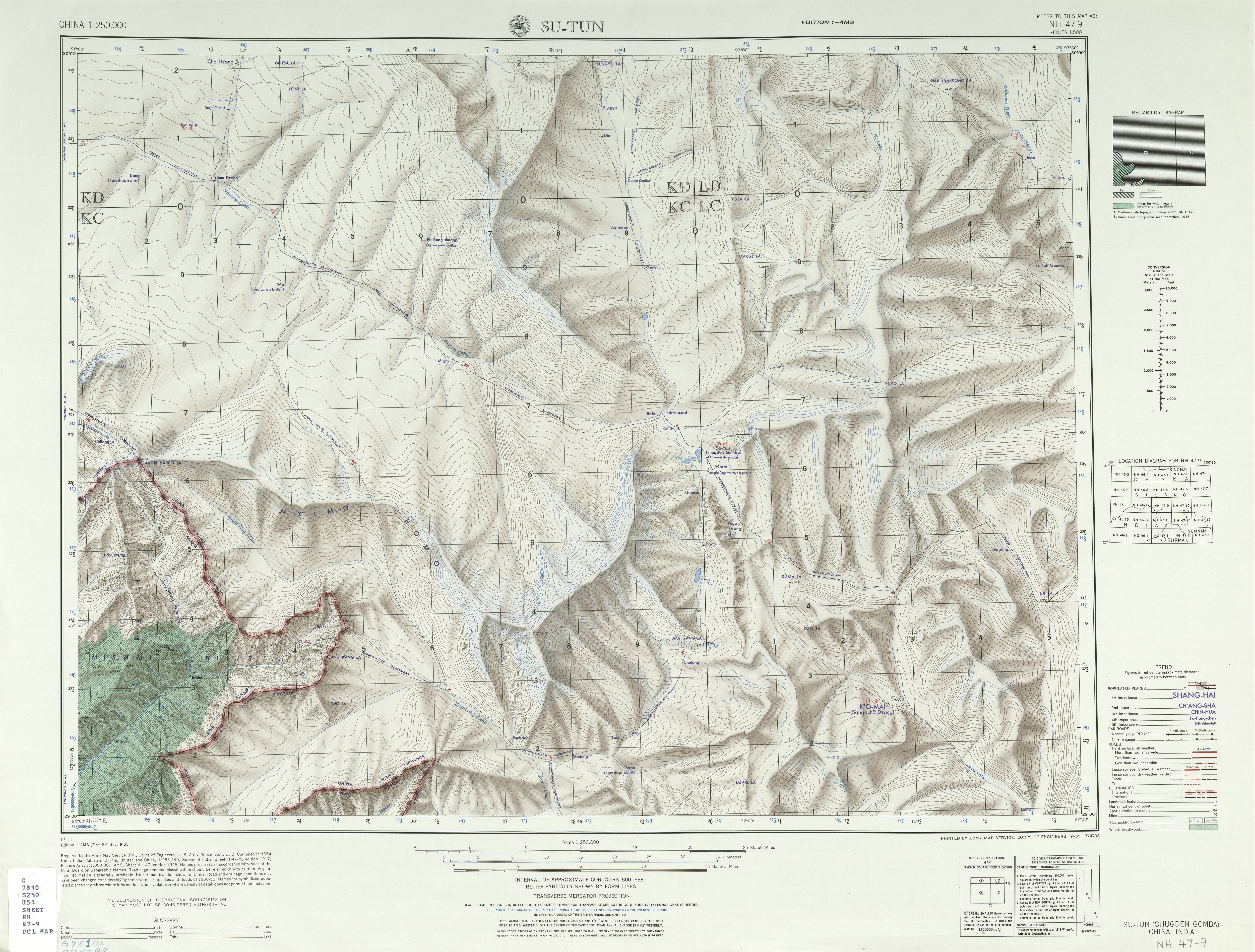
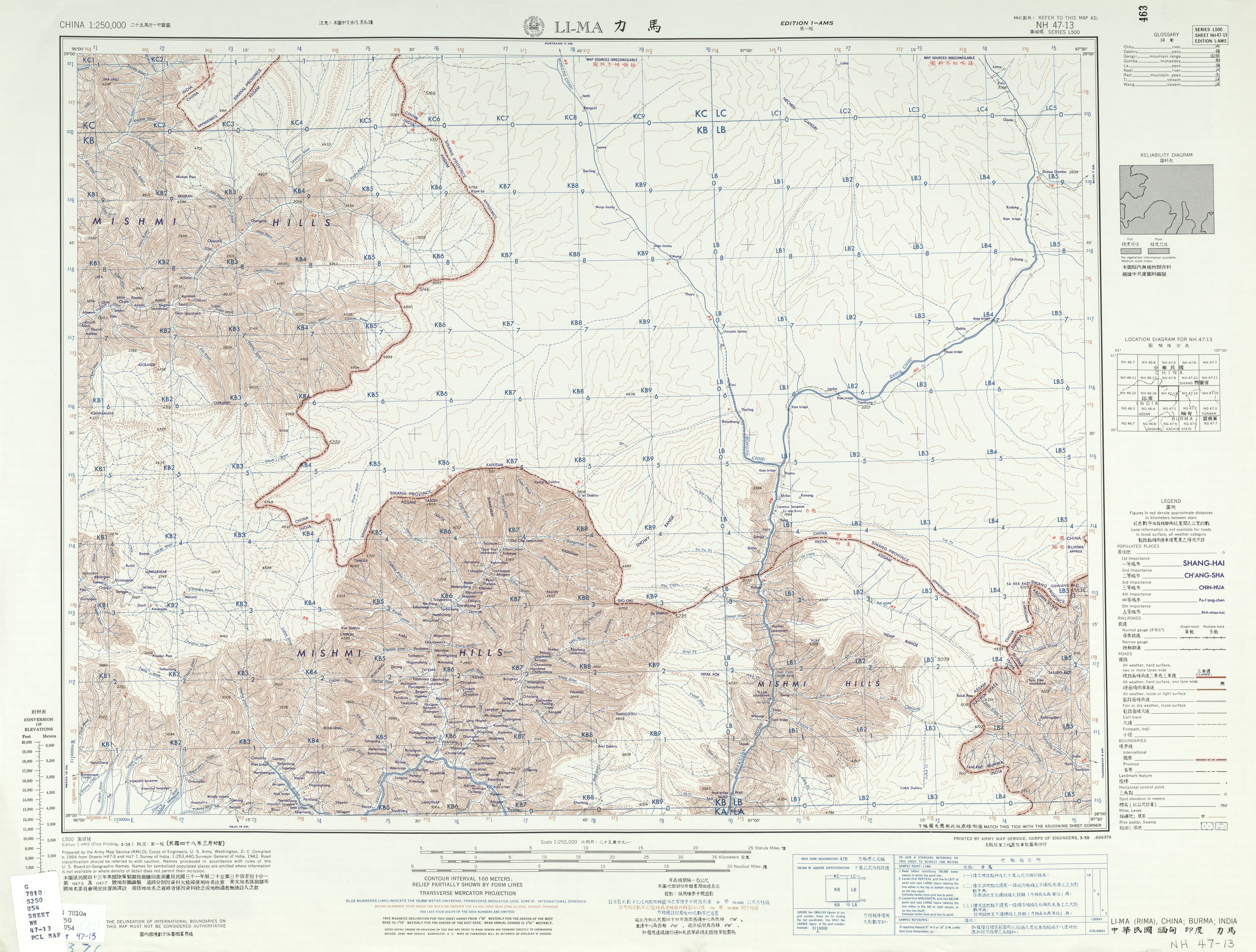
- ↑ *U.S. Army Map Service (1955), NG 46-2 Towang. Tile of the Map India and Pakistan 1:250,000. Series U502, retrieved 6 July 2021
- U.S. Army Map Service (1955), NH 46-15 Kyimdong Dzong12. Tile of the Map India and Pakistan 1:250,000. Series U502, retrieved 5 July 2021
- U.S. Army Map Service (1954), NH 46-12 Namcha Barwa. Tile of the Map China 1:250,000. Series L500, retrieved 5 July 2021
- U.S. Army Map Service (1954), NH 47-9 Su-Tun. Tile of the Map China 1:250,000. Series L500, retrieved 5 July 2021
- U.S. Army Map Service (1954), NH 47-13 Li-Ma. Tile of the Map China 1:250,000. Series L500, retrieved 5 July 2021
- U.S. Army Map Service (1955), NG 47-1 Putao. Tile of the Map Burma 1:250,000. Series U542, retrieved 5 July 2021
- U.S. Army Map Service (1955), NG 46-8 Sibsagar. Tile of the Map Burma 1:250,000. Series U542, retrieved 6 July 2021
- ↑ "Kangtö". Peakbagger.com. Retrieved 4 July 2021.
- ↑ "Nyegyi Kansang". Peakbagger.com. Retrieved 4 July 2021.
- ↑ "Chumo". Peakbagger.com. Retrieved 4 July 2021.
- ↑ 23.0 23.1 "Takpa Shiri". Peakbagger.com. Retrieved 4 July 2021.
- ↑ U.S. Army Map Service, Corps of Engineers (1955), NG 46-2 Towang. Tile of the Map India and Pakistan 1:250,000. Series U502, U.S. Army Map Service, 1955 (published 1961), retrieved 4 July 2021
- ↑ Bailey, Frederick Marshman (1913), North-East Frontier of India (Arunachal Pradesh) and eastern Tibet, exploration in 1913 by Morshead and Bailey, retrieved 4 July 2021
- ↑ "Dapha Bum". Peakbagger.com. Retrieved 4 July 2021.
- ↑ Choudhury, S. Dutta, ed. (1980). Tirap District, Arunachal Pradesh, Gazetteer of India (PDF). R.N. Bagchi, Director of Information and Public Relations, Government of Arunachal Pradesh, Shillong. pp. 3, 226. ISBN 9788190658713. Retrieved 1 August 2021.
{{cite book}}:|website=ignored (help) - ↑ "North East India: People, History and Culture" (PDF). National Council of Educational Research and Training. April 2017. p. 10. Retrieved 1 August 2021.
- ↑ Carter, H. Adams (1985). "Classification of the Himalaya" (PDF). American Alpine Journal: 111. Retrieved 1 August 2021.
- ↑ Sharma & Shukla 1992, p. 6.
- ↑ Coudurier-Curveur, A.; Tapponnier, P.; Okal, E.; Van Der Woerd, J.; Kali, E.; Choudhury, S.; Baruah, S.; Etchebes, M.; Karakaş, Ç. (1 February 2020). "A composite rupture model for the great 1950 Assam earthquake across the cusp of the East Himalayan Syntaxis". Earth and Planetary Science Letters. 531. Figure 1, 2 and 3. Bibcode:2020E&PSL.53115928C. doi:10.1016/j.epsl.2019.115928. hdl:10356/136999. ISSN 0012-821X. S2CID 210142365.
- ↑ Páll-Gergely, Barna & Fehér, Zoltán & Hunyadi, András & Asami, Takahiro. (2015). Revision of the genus Pseudopomatias and its relatives (Gastropoda: Cyclophoroidea: Pupinidae). pp. 8. Zootaxa. 3937. 1-49. 10.11646/zootaxa.3937.1.1.
- ↑ Singh 2005, p. 6.
- ↑ Sharma & Shukla 1992, p. 8–10.
- ↑ Singh, Abujam & Das 2019, p. 1.
- ↑ 36.0 36.1 Bharali, Sanjeeb; Khan, Mohamed Latif (2011). "Climate change and its impact on biodiversity; some management options for mitigation in Arunachal Pradesh". Current Science. 101 (7): 855–860. ISSN 0011-3891. JSTOR 24079121.
- ↑ "Arunachal Pradesh Geography". mapsofindia.com. Retrieved 16 May 2015.
- ↑ 38.0 38.1 38.2 38.3 38.4 38.5 38.6 38.7 ISFR Vol 2, Forest Survey of India (2019), pg. 18.
- ↑ ISFR Vol 2, Forest Survey of India (2019), pg. 15.
- ↑ Rina, Tongam (31 December 2019). "Arunachal registers decline in forest cover for second year in a row". The Arunachal Times. Retrieved 5 July 2021.
- ↑ Zoological Survey of India (2006), pg. 6.
- ↑ Singh, Abujam & Das 2019, p. 2.
- ↑ "Arunachal Pradesh at a Glance". arunachalpradesh.gov.in. Archived from the original on 2 January 2017. Retrieved 16 May 2015.
- ↑ 44.0 44.1 "Climate Arunachal Pradesh: Temperature, climate graph". en.climate-data.org. Retrieved 23 June 2021.
- ↑ Mizuno & Tenpa 2015, p. 3.
- ↑ "Par Monthly Climate Averages, Arunachal Pradesh, IN". WorldWeatherOnline.com. Retrieved 23 June 2021.
- ↑ "Arunachal Pradesh". Weatherbase. Retrieved 23 June 2021.
- ↑ Sharma & Shukla 1992, p. 12.
Bibliography[edit | edit source]
- Books
- Sharma, N.; Shukla, Surya Pal (1992). Geography and Development of Hill Areas: A Case Study of Arunachal Pradesh. Mittal Publications. ISBN 9788170993834 – via Google Books.
- Singh, Ravi S. (2005). Paths of Development in Arunachal Pradesh. Northern Book Centre. ISBN 9788172111830.
- Mizuno, Kazuharu; Tenpa, Lobsang (2015). Himalayan Nature and Tibetan Buddhist Culture in Arunachal Pradesh, India: A Study of Monpa. Springer. ISBN 9784431554929 – via Google Books.
- Singh, Achom Darshan; Abujam, Santoshkumar; Das, D.N. (2019). Biodiversity of Fishes in Arunachal Himalaya. Academic Press, Elsevier. ISBN 978-0-12-815837-1.
- Government
- India State of Forest Report 2019 (PDF), vol. 1 (16 ed.), Forest Survey of India. Ministry of Environment, Forest and Climate Change. Government of India., ISBN 9788194101802, archived from the original (PDF) on 8 March 2021
- "11.2 Arunachal Pradesh" (PDF), India State of Forest Report 2019, vol. 2 (16 ed.), Forest Survey of India. Ministry of Environment, Forest and Climate Change. Government of India., ISBN 9788194101802, archived from the original (PDF) on 4 July 2021
- National Wetland Atlas: Arunachal Pradesh (PDF), SAC/RESA/AFEG/NWIA/ATLAS/06/2009, Space Applications Centre (ISRO), Ahmedabad, India, p. 98, archived from the original (PDF) on 28 July 2013. (This is a PDF Size:59.00MB)
{{citation}}: CS1 maint: postscript (link) - Director (Zoological Survey of India, Kolkata), ed. (2006). Fauna of Arunachal Pradesh Part-1 (PDF). Published by the Director, Zoological Survey of India, Kolkata. ISBN 81-8171-086-X. Archived from the original (PDF) on 20 June 2017.
{{cite book}}:|work=ignored (help) - Arunachal Pradesh State Action Plan on Climate Change. Consortium: INRM, IIMA, IISc. (PDF), March 2011
- State Profile of Arunachal Pradesh (PDF), Branch MSME-Development Institute. Itanagar, Arunachal Pradesh., Development Commissioner. Ministry of Micro, Small and Medium Enterprises. Government of India., 2013–2014, archived from the original (PDF) on 31 July 2021
{{citation}}: CS1 maint: others (link) - Arunachal Pradesh: Human Development Report 2005 (PDF), Prepared by Rajiv Gandhi University, Itanagar, Arunachal Pradesh. Planning Commission, NITI Aayog., Department of Planning, Government of Arunachal Pradesh.
{{citation}}: CS1 maint: others (link)
.png)