

This article needs additional citations for verification. (October 2019) |
Bhagamandala | |
|---|---|
Village | |
| Bhagandeshwara Temple Bhagandeshwara Temple | |
 Bhagamandala Location in Karnataka, India  Bhagamandala Bhagamandala (India) | |
| Coordinates: 12°25′11″N 75°31′19″E / 12.4196500°N 75.5218300°E | |
| Country | |
| State | Karnataka |
| District | Kodagu |
| Elevation | 898 m (2,946 ft) |
| Languages | |
| • Official | Kannada |
| • Other | Kodava, Malayalam, Arebhashe |
| Time zone | UTC+5:30 (IST) |
| PIN | 571 247 |
| Telephone code | 08272 |
| Vehicle registration | KA-12 |
Bhagamandala is a pilgrimage place in Kodagu district of the Indian state of Karnataka.


Location[edit | edit source]
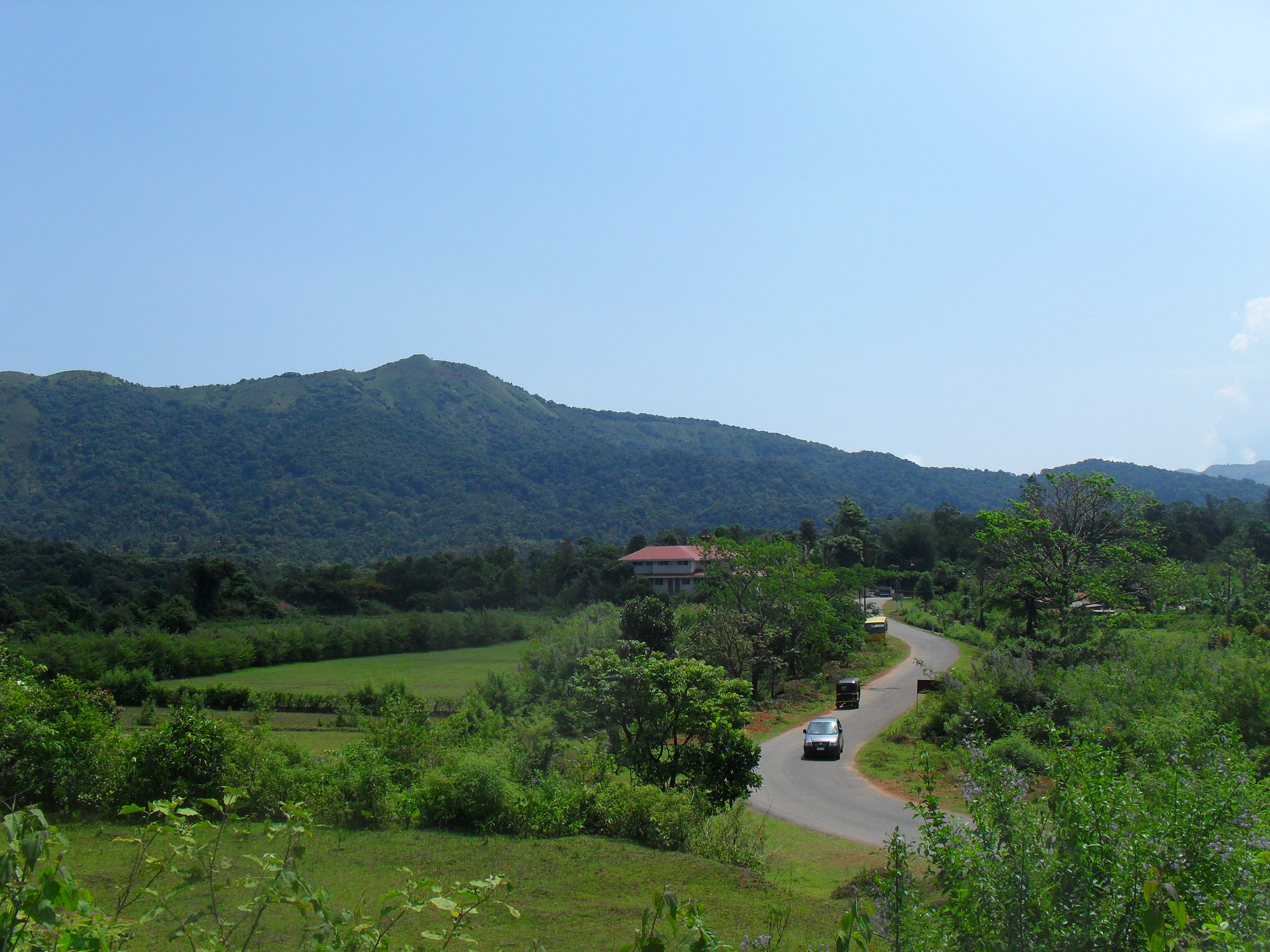
Bhagamandala is situated on the river Kaveri in its upstream stretches. At this place, the Kaveri is joined by two tributaries, the Kannike and the mythical Sujyothi river. It is considered sacred as a river confluence (kudala or triveni sangama, in Kannada and Sanskrit respectively). Bhagamandala is located 133 km south-east of Mangalore. It has an average elevation of 898 m (2,946 ft).[1]
Pilgrim center – Bhagandeshwara Temple[edit | edit source]
It is a common practice for pilgrims to take a dip in the triveni sangama and perform rituals to their ancestors before proceeding to Talakaveri, the birthplace of Kaveri. A temple of Lord Supremo Shiva in the name of Bhagandeshwara embellishes the place. It is the local belief that Kaveri, revered as Dakshina Ganga, comes out of the matted hair locks of Shiva here. During Tula Sankramana which falls on 17 or 18 October, pilgrims assemble here in large numbers.
Three river meet[edit | edit source]
A short distance from the triveni sangama, there is a famous temple known as Sri Bhagandeshwara Temple, where murti (sacred images) of Bhagandeshwara (Ishwara), Subramanya and Ganapati are installed. This place is also known as Bhagandeshwara Kshetra, from which the name Bhagamandala is derived. The temples in this area are built in Karavali (West Coast) style.
History[edit | edit source]
During 1785–1790, the area was occupied by Tipu Sultan. The temple was burnt and destroyed.[2] He renamed Bhagamandala to Afzalabad.[3][4] In 1790 King Dodda Vira Rajendra took Bhagamandala back into an independent Kodagu kingdom.
Bhagamandala is located about 33 km from the district headquarters Madikeri and is connected by paved roads from Madikeri, Virajpet and nearby places in Karnataka and Kerala. Government and private buses are available on all of these routes.
Padi temple[edit | edit source]
A short distance from Bhagamandala is the temple at Padi, which houses the deity Lord Igguthappa and is one of the most sacred shrines of the Kodava people. [5][6][7]
Aiyangeri temple[edit | edit source]
There is one more temple at Aiyangeri, named "Chinnathappa", which houses the deity Lord Sri Krishna, considered by the people of the village to be the most sacred shrine in their home land. There is a festival once a year in the month of February or March, where the "Golden Flute" will be brought out from the temple.
Mount Thavoor[edit | edit source]

Mt. Thavoor is a peak overlooking Bhagamandala and Mt. Koppatti, which may be considered its twin peak is nearby and both these serve as trekking routes for the Shola forest range.
Climate[edit | edit source]
Bhagamandala experiences a Tropical monsoon climate under the Köppen climate classification.
| Climate data for Bhagamandala | |||||||||||||
|---|---|---|---|---|---|---|---|---|---|---|---|---|---|
| Month | Jan | Feb | Mar | Apr | May | Jun | Jul | Aug | Sep | Oct | Nov | Dec | Year |
| Average high °C (°F) | 26.5 (79.7) |
28.1 (82.6) |
29.6 (85.3) |
29.2 (84.6) |
27.9 (82.2) |
23.9 (75.0) |
22.4 (72.3) |
22.8 (73.0) |
23.9 (75.0) |
25.5 (77.9) |
25.6 (78.1) |
25.8 (78.4) |
25.9 (78.7) |
| Average low °C (°F) | 16.0 (60.8) |
17.0 (62.6) |
18.5 (65.3) |
19.7 (67.5) |
20.0 (68.0) |
18.9 (66.0) |
18.6 (65.5) |
18.6 (65.5) |
18.4 (65.1) |
18.6 (65.5) |
17.8 (64.0) |
16.4 (61.5) |
18.2 (64.8) |
| Average rainfall mm (inches) | 5 (0.2) |
5 (0.2) |
20 (0.8) |
115 (4.5) |
232 (9.1) |
1,222 (48.1) |
2,024 (79.7) |
1,222 (48.1) |
479 (18.9) |
318 (12.5) |
101 (4.0) |
24 (0.9) |
5,767 (227) |
| Source 1: Directorate of Economics and Statistics, Karnataka[8] | |||||||||||||
| Source 2: Climate-Data.org[9] | |||||||||||||
See also[edit | edit source]
References[edit | edit source]
- ↑ "Elevation of Bhagamandala". Archived from the original on 21 May 2019. Retrieved 15 October 2017.
- ↑ Moegling, H (1855). Coorg Memoirs: An Account of Coorg and of the Coorg Mission. p. 98. Retrieved 11 February 2014.
- ↑ "Bhagandeshwara temple , where is it located ? | Tourism of karnataka". tourismofkarnataka.com. Retrieved 26 August 2021.
- ↑ "Karnataka Kodagu Gazetteer 1965" (PDF).
{{cite web}}: CS1 maint: url-status (link) - ↑ Belliappa, C P (7 February 2012). "At the summit of faith". Deccan Herald. Retrieved 2 November 2014.
- ↑ Kushalappa, Mookonda. "PADI IGGUTHAPPA TEMPLE DEDICATED TO RAIN AND HARVEST GOD OF COORG". Coorg Tourism Info. P T Bopanna. Retrieved 2 April 2019.
- ↑ "Padi Sri Igguthappa Temple". Padi Sri Igguthappa Temple. Chinshai Technologies. Archived from the original on 2 November 2014. Retrieved 2 November 2014.
- ↑ "DES" (PDF). DES. Retrieved 7 July 2016.
- ↑ "CLIMATE: BHAGAMANDALA". Retrieved 18 February 2016.