This article needs additional citations for verification. (July 2011) |
| Bengaluru–Mysuru Infrastructure Corridor | |
|---|---|
| Nandi Infrastructure Corridor Enterprises Road | |
_33.jpg) | |
| Route information | |
| Maintained by Nandi Infrastructure Corridor Enterprises Road | |
| Length | 40 km (20 mi) |
| Existed | 1996–present |
| Major junctions | |
| North end | Bengaluru |
| |
| South end | Mysuru |
| Location | |
| States | Karnataka |
| Highway system | |
|
| |
The Nandi Infrastructure Corridor Enterprises Road, commonly known as NICE Road, is a partially implemented and largely scrapped 4 to 6 lane private tolled expressway in Karnataka,[1] that was intended to connect the two important cities Bengaluru and Mysuru in the Indian state of Karnataka. It will not be implemented, as Bengaluru–Mysuru access-controlled Highway part of NH 275 is going to replace it as a section of the new Bengaluru–Mangaluru Industrial Corridor (EC-34).
As of May 2017, around 800,000 vehicles use the road daily on its presently operational section from Electronic City on Hosur Road to Tumakuru Road.[2]
There has been accusation of irregularities in the execution of the Bengaluru Mysuru Infrastructure Corridor (BMIC) by the Nandi Infrastructure Corridor Enterprise (NICE).[3]
History[edit | edit source]

In conjunction with a 1995 Trade Mission to India sponsored by the then Governor of Massachusetts, William Weld, a memorandum of understanding was signed by Consortium members, Indian officials, including then Karnataka Chief Minister, H. D. Deve Gowda, and U.S. officials, which set the stage for launching the Bengaluru Mysuru Infrastructure Corridor project. The Consortium, Nandi Infrastructure Corridor Enterprises (NICE), comprises the Kalyani Group of Companies, VHB International LTD. and SAB International LTD. to develop the Bengaluru Mysuru Infrastructure Corridor.
The project has been in controversy since the day of planning. In October 2012, the Karnataka Lokayukta ordered a probe into several former chief ministers in matters relating to irregularities in land acquisition for the project.[4]
Status updates[edit | edit source]
- Mar 2019: 4 km of expressway is completed, besides this 41 km of peripheral road and 8.5 km of link road is also constructed.[5]
Gallery[edit | edit source]
-
 Nandi statue at clover leaf junction
 -
 Nandi Economic Corridor Enterprises office at clover leaf junction
 -
Video of NICE road at clover leaf junction
-
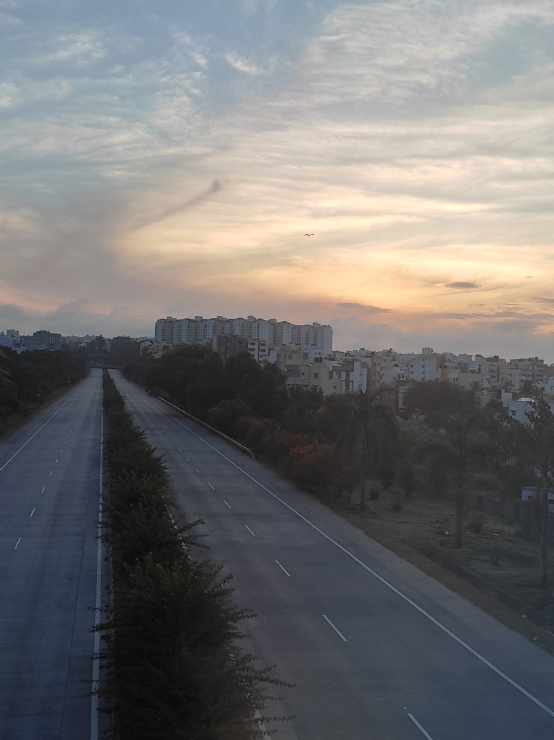 Sunrise at NICE road
_01.jpg)
.jpg)

See also[edit | edit source]
- National Highway 275 (India)
- Expressways of India
- Infrastructure in Bengaluru
- Electronic City Elevated Expressway
- Inner Ring Road, Bengaluru
- Outer Ring Road, Bengaluru
- Peripheral Ring Road
- Satellite Town Ring Road
References[edit | edit source]
- ↑ "119 km Bengaluru – Mysuru Expressway project on NH-275 is an under construction 6-10 lane access-controlled highway with a route alignment in Karnataka.This mix of brownfield-upgrade (60%) and greenfield (40%) project was envisioned as an alternate to the now-scrapped Nandi Infrastructure Corridor Enterprises (NICE) Road". themetrorailguy. Bangalore. 25 October 2012. Retrieved 13 March 2012.
- ↑ Yadav, Umesh. "Now, BMRCL chalks out a 'NICE' plan for Namma Metro - The Economic Times". The Economic Times. Retrieved 8 May 2017.
- ↑ "NICE project: HDK to approach PM Modi with documents".
- ↑ Chaturvedi, Amit (25 October 2012). "Mysore infrastructure corridor project: Probe ordered against former Karnataka chief ministers". Bangalore. NDTV. Retrieved 25 October 2012.
- ↑ "Kumaraswamy mum on NICE project he once opposed". 16 November 2018.
External links[edit | edit source]


