| Vazhani Dam | |
|---|---|
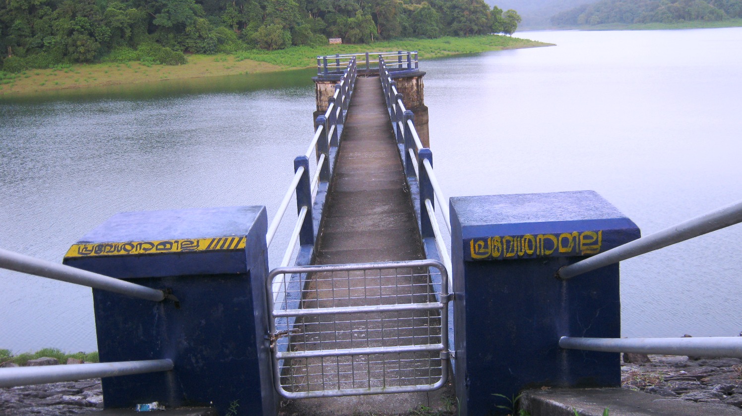
 A view of dam and reservoir | |
 Location of Vazhani Dam in India  Vazhani Dam (Kerala) | |
| Official name | Vazhani Dam |
| Country | india |
| Location | Vazhani, Thrissur, Kerala, India |
| Coordinates | 10°38′13″N 76°18′25″E / 10.637°N 76.307°E |
| Purpose | Irrigation |
| Opening date | 1962 |
| Owner(s) | Government of Kerala |
| Operator(s) | Irrigation Department, Kerala |
| Dam and spillways | |
| Type of dam | Earth Dam |
| Length | 792.48 metres |
| Reservoir | |
| Creates | Wadakkanchery River |
| Website www.vazhanidam.gov.in | |
| Capacity: tmc ft. | |
Vazhani Dam is a clay dam built across the Kechery River (also known as Wadakkancherry river) near Wadakkancherry in Thrissur district of Kerala. The water is used for irrigation and drinking purposes. The dam has a four-acre garden and the construction was completed in 1962.[1] Vazhani dam is built with mud and it is an earth dam like Banasura Sagar Dam.
Gallery[edit | edit source]
-
 Hanging Bridge
 -
 Dam Garden
 -
-

-


.jpg)
.jpg)

See also[edit | edit source]
References[edit | edit source]
- ↑ "Kerala Govt". VAZHANI IRRIGATION PROJECT. Retrieved 16 May 2012.
Tourist attractions in Thrissur | ||
|---|---|---|
| Dams |  | |
| Beaches and Waterfalls | ||
| Forts and Palaces | ||
| Boatraces | ||
| Parks and Zoos | ||
| Exhibitions and film festivals | ||
| Buildings | ||
| Festivals | ||
| Prehistoric | ||
| Museums | ||
This article about a dam, floodgate or canal in India is a stub. You can help Bharatpedia by expanding it. |