| Sholayar Dam | |
|---|---|
 Sholayar Dam | |
| Official name | Sholayar hydro electric project |
| Location | Malakkappara, Thrissur India |
| Coordinates | 10°19′18″N 76°44′07″E / 10.32167°N 76.73528°E |
| Purpose | Electricity |
| Opening date | 1965 |
| Operator(s) | KSEB |
| Dam and spillways | |
| Impounds | Sholayar Chalakkudy River |
| Height | 56 m (184 ft) |
| Length | 430.53 m (1,412 ft) |
| Spillway capacity | 1825 M3/Sec |
| Reservoir | |
| Creates | Lower Sholayar Reservoir |
| Total capacity | 153,600,000 cubic metres (5.42×10⁹ cu ft) (5.42 tmcft) |
| Active capacity | 150,200,000 cubic metres (5.30×10⁹ cu ft) (5.31 tmcft) |
| Surface area | 8.705 hectares (21.51 acres) |
| Power Station | |
| Operator(s) | KSEB |
| Commission date | 1961 |
| Turbines | 3 x 18 Megawatt (Francis-type) |
| Installed capacity | 54 MW |
| Annual generation | 233 MU |
| Sholayar Power House | |
Sholayar Dam is a concrete dam built across the Chalakkudi River in Malakkappara in Thrissur district, Kerala of India.[1][2] The dam consists of main Sholayar Dam, Sholayar Flanking and Sholayar Saddle Dam. It also contains Sholayar Hydro Electric Power Project of KSEB who owns the dam. Total installed capacity of the project is 54MW with 3 penstock pipes.[3] The maximum storage capacity is 2663 feet.[4] Sholayar is 65 km from Chalakudy town.[5] The dam above Sholayar dam is Upper Solaiyar Dam owned by Tamil Nadu.
History[edit | edit source]
Sholayar Dam, Sholayar Saddle Dam and Sholayar Flanking dam are commissioned in 1965. The reservoir has an area of 8.705 square km and the length of the dam is 430.60 metres. The Sholayar Dam has a height of 66 metres and 430 metres width,[6] Sholayar Flanking Dam has a height of 18 metres from the foundation with 109 metres length[7] and Sholayar Saddle has a height of 259 metres and 109 metres width.
Gallery[edit | edit source]
-
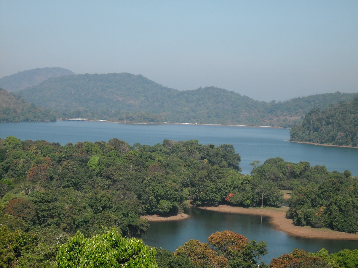
 Sholayar Dam Reservoir
 -
 Sholayar Dam Reservoir and Dam
 -
 View of Reservoir

.jpg)

References[edit | edit source]
- ↑ "Dams in West flowing rivers from Tadri to Kanyakumari Basin". Water Resources Information System- Wiki. Retrieved 2021-03-18.
- ↑ "Sholayar Dam – K TNPWD Limited Dam Safety Organisation". Retrieved 2021-03-18.
- ↑ "West Flowing Rivers from Tadri to Kanyakumari" (PDF).
- ↑ "Parambikulam, Sholayar dams reaching maximum capacity, orange alert issued". Mathrubhumi. 15 September 2019. Retrieved 2021-03-18.
- ↑ "Fact File on Major Dams owned by Kerala State Electricity Board". Expert Eyes. Retrieved 2013-06-27.
- ↑ "Dams in West flowing rivers from Tadri to Kanyakumari Basin". Water Resources Information System- Wiki. Retrieved 2021-03-18.
- ↑ "Dams in West flowing rivers from Tadri to Kanyakumari Basin". Water Resources Information System- Wiki. Retrieved 2021-03-18.
See also[edit | edit source]
Tourist attractions in Thrissur | ||
|---|---|---|
| Dams |  | |
| Beaches and Waterfalls | ||
| Forts and Palaces | ||
| Boatraces | ||
| Parks and Zoos | ||
| Exhibitions and film festivals | ||
| Buildings | ||
| Festivals | ||
| Prehistoric | ||
| Museums | ||