


| Indira Gandhi canal | |
|---|---|
| Specifications | |
| Length | 650 km (400 miles) |
| History | |
| Former names | Rajasthan Canal |
| Construction began | Canal construction started in 1952 |
| Date completed | Last portion of canal constructed till 2010 |

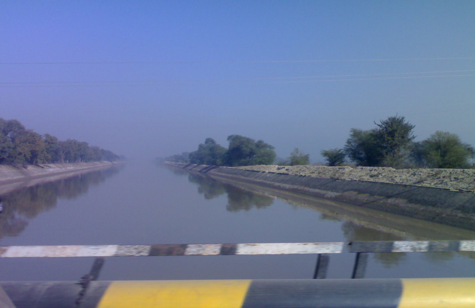
The Indira Gandhi Canal (originally, Rajasthan Canal) is the longest canal of India. It starts from the Harike Barrage at Harike, a few kilometers below the confluence of the Satluj and Beas rivers in the Indian state of Punjab and terminates in irrigation facilities in the Thar Desert in the north west of Rajasthan state. Previously known as the Rajasthan Canal, it was renamed the Indira Gandhi Canal on 2 November 1984 following the assassination of Prime Minister Indira Gandhi.
The canal consists of the Rajasthan feeder canal with the first 167 kilometres (104 mi) in Punjab and Haryana state and a further 37 kilometres (23 mi) in Rajasthan followed by the 445 kilometres (277 mi) of the Rajasthan main canal, which is entirely within Rajasthan. The canal enters Haryana from Punjab near Lohgarh village then runs through the western part of the Sirsa district before entering Rajasthan near Kharakhera village in the Tibbi tehsil of the Hanumangarh district. The canal traverses seven districts of Rajasthan: Barmer, Bikaner, Churu, Hanumangarh, Jaisalmer, Jodhpur, and Sriganganagar.The main canal is 445 km long which is 1458 RD (RD represents reduced distance). From 1458 RD, one branch starts, known as Sagar mal gopa branch or the SMGS. Sagar mal gopa branch is 96 km long. From the end point of SMGS, another subbranch starts, which is the last subbranch of this canal named as Baba Ramdev sub-branch and it is 92 km long. It ends near Gunjangarh village in Jaisalmer district.

Design and Construction[edit | edit source]
The idea of bringing the waters from the Himalayan Rivers flowing through Punjab and into Pakistan was conceived by a hydraulic engineer, Kanwar Sain in the late 1940s who proposed that 2,000,000 ha (20,000 km2) of desert land in Bikaner and the northwest corner of Jaisalmer could be brought under irrigation from the stored waters of Punjab rivers. In 1960, Indus Water Treaty was signed between India and Pakistan which gave India the right to use waters of three rivers – the Satluj, Beas and Ravi. The proposed Rajasthan Canal envisaged use of 7.6 million acre feet of water.[1]
The initial plan was to build the canal in two stages, Stage I consisting of 204 km (127 mi) feeder canal from Harike barrage, Firozpur, Punjab to Masitawali (Hanumangarh) with the main canal of 189 km (117 mi) from Masitawali (Hanumangarh) to Pugal, (Bikaner) in Rajasthan. Stage I also included constructing distributary canal system of about 2,950 km (1,830 mi) in length. The stage II involved construction of 256 km (159 mi) long main canal from Pugal (Bikaner) to Mohangarh (Jaisalmer) along with distributary canal network of 3,600 km (2,200 mi). It was planned that the main canal will be 140 ft (43 m) wide at the top and 116 ft (35 m) wide at the bottom with water depth of 21 ft (6.4 m). The canal was scheduled to be completed by 1971.
The canal faced severe financial constraints, neglect and corruption. In 1970 the plan was revised and it was decided that the entire canal will be lined with concrete tiles. Five more lift schemes were added. Flow command of stage II was increased by 100,000 ha (1,000 km2). With increased requirements, the total length of main, feeder and distribution canals was about 9,245 km (5,745 mi). The stage I was completed in 1983 around 20 years behind the completion schedule.
The Green revolution in Rajasthan[edit | edit source]


After the construction of the Indira Gandhi Canal, irrigation facilities were available over an area of 6,770 km2 (1,670,000 acres) in Jaisalmer district and 37 km2 (9,100 acres) in Barmer district. Irrigation had already been provided in an area of 3,670 km2 (910,000 acres) in Jaisalmer district. The canal has transformed the barren deserts of this district into fertile and good fields.[citation needed] Crops of mustard, cotton, and wheat now grow in this semi-arid north-western region replacing the soil there previously.
Improvement in living standard[edit | edit source]

Besides providing water for agriculture, the canal will supply drinking water to hundreds of people in far-flung areas.
As the second stage of work on the canal progresses rapidly, there is hope that it will enhance the living standards of the people of the state.
Sand dune stabilization[edit | edit source]
The Indira Gandhi Canal is a major step in reclaiming the Thar Desert and checking desertification of fertile areas. There is a planting programme for greening the desert in areas near the Indira Gandhi Canal which was started in 1965. This consists of the planting of shelter belts along roads and canals, blocks of plantations and sand dune stabilization. The tree species being used for planting are Dalbergia sissoo, Eucalyptus tereticornis, Eucalyptus camaldulensis, Morus alba, Tecomella undulata, Acacia tortilis, Azadirachta indica, Albizia lebbeck, Cassia fistula, Populus ciliata, Melia azedarach, and Vachellia nilotica.
Environmental problems[edit | edit source]
The excessive irrigation and intensification of agriculture over the years has caused environmental degradation and creation of new wastelands. There have been problems with water-logging caused by excessive irrigation, seepage from canals and poor drainage. These factors produced a rise in the water table (bringing soluble salts close to surface), increased salinity and finally submergence of the land. These problems have been exacerbated by the cultivation of water intensive cash crops.
References[edit | edit source]
- ↑ Ramtanu Maitra: The Indira Gandhi Canal: greening the desert in India EIR Volume 14, Number 7, February 13, 1987
Sources[edit | edit source]
- Anon. 1998. Statistical Abstract Rajasthan. Directorate of Economic and Statistics, Rajasthan, Jaipur.
- Balak Ram, 1999. Report on Wastelands in Hanumangarh district, Rajasthan. CAZRI, Jodhpur.
- Karimkoshteh, M. H. 1995. Greening the Desert (Agro-Economic impact of IG canal). Renaissance Publication, New Delhi.
- Kavadia, P.S. 1991. Problem of waterlogging in Indira Gandhi Nahar Project and outline of Action Plan to tackle it.
- Singh, S. and Kar, A. 1997. Desertification Control - In the arid ecosystem of India for sustainable development. Agro-Botanical Publishers, Bikaner.
- Burdak, L. R. 1982. Recent advances in Desert Afforestation, Dehradun.