


File:Asian states map.svg
Size of this PNG preview of this SVG file: 220 × 176 pixels. Other resolution: 300 × 240 pixels.
Original file (SVG file, nominally 512 × 410 pixels, file size: 317 KB)

Summary
| DescriptionAsian states map.svg |
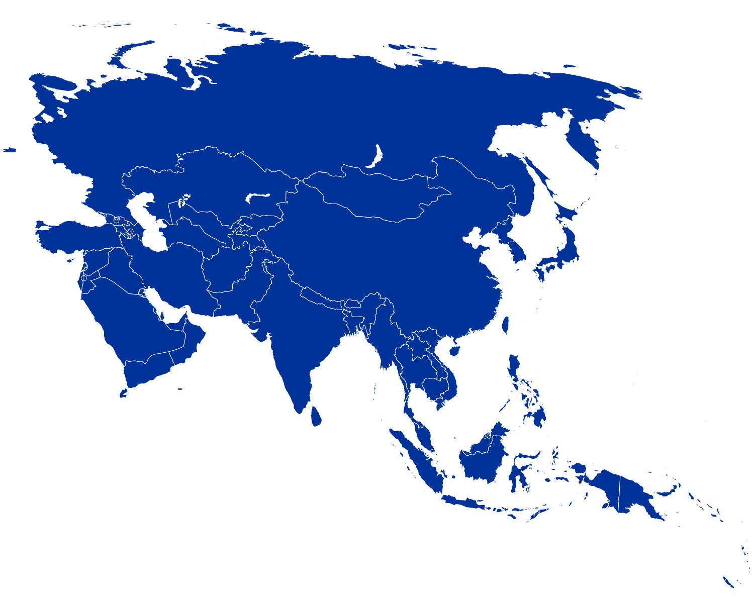
English: Map of Asian countries |
| Date | |
| Source | Own work |
| Author | Original by Faigl.ladislav, converted to SVG by Zirguezi |
Licensing
I, the copyright holder of this work, hereby publish it under the following license:
 
|
This file is made available under the Creative Commons CC0 1.0 Universal Public Domain Dedication. |
| The person who associated a work with this deed has dedicated the work to the public domain by waiving all of their rights to the work worldwide under copyright law, including all related and neighboring rights, to the extent allowed by law. You can copy, modify, distribute and perform the work, even for commercial purposes, all without asking permission.
http://creativecommons.org/publicdomain/zero/1.0/deed.enCC0Creative Commons Zero, Public Domain Dedicationfalsefalse |
Captions
Add a one-line explanation of what this file represents
File history
Click on a date/time to view the file as it appeared at that time.
| Date/Time | Thumbnail | Dimensions | User | Comment | |
|---|---|---|---|---|---|
| current | 02:58, 14 July 2020 |  | 512 × 410 (317 KB) | smartcommons>Zirguezi | Uploaded own work with UploadWizard |
File usage
More than 100 pages use this file. The following list shows the first 100 pages that use this file only. A full list is available.

- 1951 Asian Games
- Aarti
- Adichanalloor
- Aksai Chin
- Amrapur
- Ancient Sites in Manipur
- Andrahlu
- Arain
- Assamese language
- Awadhi language
- Ayiranalloor
- Barren Island
- Bengali people
- Bhada (Saharsa)
- Bhirdana
- Bodo people
- Bombay High
- Calicut International Airport
- Chainarol
- Cheiraoba
- Child labour in India
- Chipko Movement
- Chittur, Palakkad
- Chuda
- Demchok
- Derwa
- Doabi
- Dogra
- Elamad
- Elephant polo
- Elikkattoor
- Filmfare Award for Best Actor-Tamil
- GSTIN
- Gilli-danda
- Government Schools Teachers Association (GSTA)
- Hada Samadon Ayangba
- Hala (clan)
- Hazratbal Shrine
- Heikru Hidongba
- Hindustani language
- Hiyangthang Lairembi Temple
- India-Pakistan maritime trespassing
- Indian Mujahideen
- Indian Sign Language
- Indo-Bangladeshi barrier
- Insaf Party
- Irai Ningthou
- Iyyampalayam
- Jama Masjid, Srinagar
- Kallikkudi
- Kashmiri people
- Khattar
- Kisan Vikas Patra
- Kokborok language
- Kollam district
- Konkani language
- Kuomintang
- Laihui Ensemble
- Luwang dynasty
- Mahabharat
- Manampuzha
- Maroda
- Meenad
- Meitei Hindus
- Meitei cuisine
- Meitei death ceremony
- Meitei festivals
- Meitei folktales
- Meitei numerals
- Meitei philosophy
- Melila
- Mera Chaorel Houba
- Mera Hou Chongba
- Mian Family of Baghbanpura
- Mudavadekh
- Mundrothuruth
- Mylom
- Nathula
- Pahari languages
- Panampatta
- Patchur, Karaikal
- Patna
- Pattazhy Vadakkekkara
- Pavumba
- Phou Ningthou
- Poruvazhy
- Ravicherla
- Rikhakot
- Sakharpa
- Sakori
- Shipki La Pass
- Siri Paya
- Survey of India
- Tiwana
- Ulavaipu
- United Liberation Front of Assam
- Velpur
- Vilakkudy
- Wakoklon Heelel Thilel Salai Amailon Pukok Puya
- War language
View more links to this file.
