
 | ||||
|---|---|---|---|---|
| Error creating thumbnail: File missing | ||||
| Route information | ||||
| Length | 758 km (471 mi) | |||
| Major junctions | ||||
| West end | Bhiwandi | |||
| East end | Jagtial | |||
| Location | ||||
| States | Maharashtra: 610 km Telangana: 148 km | |||
| Primary destinations | Kalyan-Ahmednagar-Parbhani-Nanded-Nirmal-Jagtial | |||
| Highway system | ||||
| ||||
National Highway 61 (NH 61) is a National Highway in India connecting Bhiwandi in Maharashtra to Nirmal in Telangana.[1] The route of this national highway was extended from Nirmal to Jagtial in the state of Telangana.[2] NH-61 runs through states of Maharashtra and Telangana covering a distance of 663 km.[3]
Route
- Maharashtra
Bhiwandi - Kalyan - Murbad - Ghatghar - Ale - Ahmadnagar -Pathardi - Yeli - Kharwandi - Gevrai - Pachegaon - Majalgaon - Pathri - Prabhani - Nanded - Bhokar - Telangana border.[2]
- Telangana
Maharashtra Border - Bhainsa - Nirmal - Khanapur - Mallapuram - Raikal - Jagtial.
Junctions
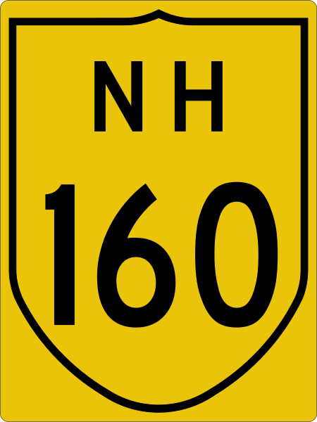 NH 160 Terminal near Bhiwandi.[2]
- Error creating thumbnail: File missing NH 60 at Ale Phata (Pune District)
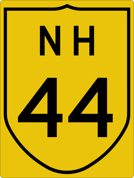 NH 44 at Nirmal.
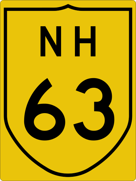 NH 63 Terminal near Jagtial.
See also
References
- ↑ "Rationalisation of Numbering Systems of National Highways" (PDF). New Delhi: Department of Road Transport and Highways. Archived from the original (PDF) on 4 December 2018. Retrieved 3 April 2012.
- ↑ 2.0 2.1 2.2 "New highways notification dated June, 2017" (PDF). The Gazette of India - Ministry of Road Transport and Highways. Retrieved 9 March 2019.
- ↑ "State-wise length of National Highways (NH) in India". Ministry of Road Transport and Highways. Retrieved 9 March 2019.
External links


.jpg)
.jpg)


