

WikiDwarfBOT (talk | contribs) robot: Trimming article to decrease server load |
WikiDwarfBOT (talk | contribs) robot: Trimming article to decrease server load |
(No difference)
| |
Revision as of 22:39, 25 April 2018
 | This article needs more citations. (August 2014) |


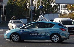
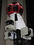
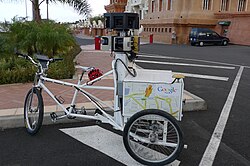
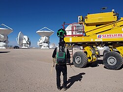
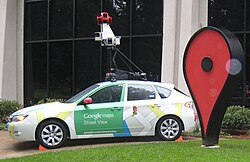
Google Street View is a feature that is used by Google Maps and Google Earth to show various streets throughout the world. Urban areas have the most pictures; many rural areas have none. The program was launched on May 25, 2007[1] and now has 48 countries with full or partial coverage.
Countries
- As of 10 August 2014


.svg)


- Countries in bold symbolize countries with full coverage.