Parikkalpattu | |
|---|---|
Village | |
| Lua error in Module:Location_map at line 501: Unable to find the specified location map definition: "Module:Location map/data/India Puducherry" does not exist. | |
| Coordinates: 11°47′34″N 79°45′06″E / 11.792815°N 79.751623°E | |
| Country | |
| State | Puducherry |
| District | Pondicherry |
| Taluk | Bahour |
| Commune | Bahour |
| Population (2001) | |
| • Total | 36,983 |
| Languages | |
| • Official | French, Tamil, English |
| Time zone | UTC+5:30 (IST) |
| PIN | 607 402 |
| Telephone code | 0413 |
| Vehicle registration | PY-01 |
| Sex ratio | 50% ♂/♀ |
Parikkalpattu is a village[1] in Bahour Commune of Bahour taluk in the Union Territory of Puducherry, India. It lies on southern border of Bahour Enclave of Puducherry district.
Geography[edit | edit source]
Parikkalpattu is bordered by Kuruvinatham, Soriyankuppam in the west, Bahour in the north, Kanganakuppam village of Tamil nadu in the east and Pennaiyar River in the south.
Road Network[edit | edit source]
Parikkalpattu is connected to Bahour, its Commune Headquarters via Bahour-Parikkalpattu road. PRTC ply town bus to Parikkalpattu. But they are less frequent.
Villages[edit | edit source]
Following are the list of villages under Parikkalpattu Village Panchayat.
- Mel Parikkalpattu
- Keezh Parikkalpattu
- Periya Archatchikuppam
- Chinna Archatchikuppam
- Kumandhanmedu
Gallery[edit | edit source]
-
 Map of Parikkalpattu Village Panchayat
 -
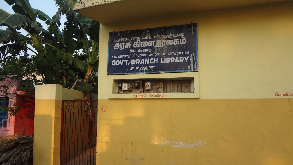 Government Branch Library, Parikkalpattu Bahour Commune


Politics[edit | edit source]
Parikkalpattu is a part of Bahour (Union Territory Assembly constituency) which comes under Puducherry (Lok Sabha constituency)
References[edit | edit source]
- ↑ "Archived copy" (PDF). Archived from the original (PDF) on 27 September 2013. Retrieved 17 March 2013.
{{cite web}}: CS1 maint: archived copy as title (link)