


Uthukadu periyandavar | |
|---|---|
 Uthukadu periyandavar Location in Tamil Nadu, India | |
| Coordinates: 12°47′27.1″N 79°49′16.8″E / 12.790861°N 79.821333°E | |
| Country | |
| State | Tamil Nadu |
| District | Kanchipuram |
| Government | |
| • Village Panchayat President | .T[2] |
| Area | |
| • Total | 8.73 km2 (3.37 sq mi) |
| Elevation | 74.4 m (244.1 ft) |
| Population (2011) | |
| • Total | 4,528[1] |
| • Density | 519/km2 (1,340/sq mi) |
| Time zone | UTC+5:30 (IST) |
| Pincode | 631605 |
| Area code | +91-44 |
| Vehicle registration | TN 21 |
| Official language | Tamil |
| Spoken languages | Tamil, English |
Uthukadu is a small village in Walajabad panchayat union, Kanchipuram district, Tamil Nadu, India. Tamil Nadu state highway 48 is passing through Uthukadu village. Uthukadu is 4.5 kilometres (2.8 mi) distance from its Walajabad town, 19.7 kilometres (12.2 mi) distance from its district main city Kanchipuram and 67.7 kilometres (42.1 mi) distance from its state main city Chennai.
Festivals in Uthukadu[edit | edit source]
There are many temples in Uthukadu. Carnivals are celebrated for each temple in different periods.
List of popularly known temple are below.
- Ellamman Temple (எல்லம்மன் ஆலயம்)
- Perumal Temple (பெருமாள் ஆலயம்)
- Veera Anjanayar Temple
- Many Vinayakar Temple (விநாயகர் ஆலயம்)
- Mahalingeswarar Temple (மகாலிங்கேஸ்வரர் ஆலயம்)
- Periyandavar Temple
- Ponniyamman Temple
- Arumugam (Murugan Temple)
- Porpandi Isvaran and many more.
- Poth Raja Temple
- Jestha Devi
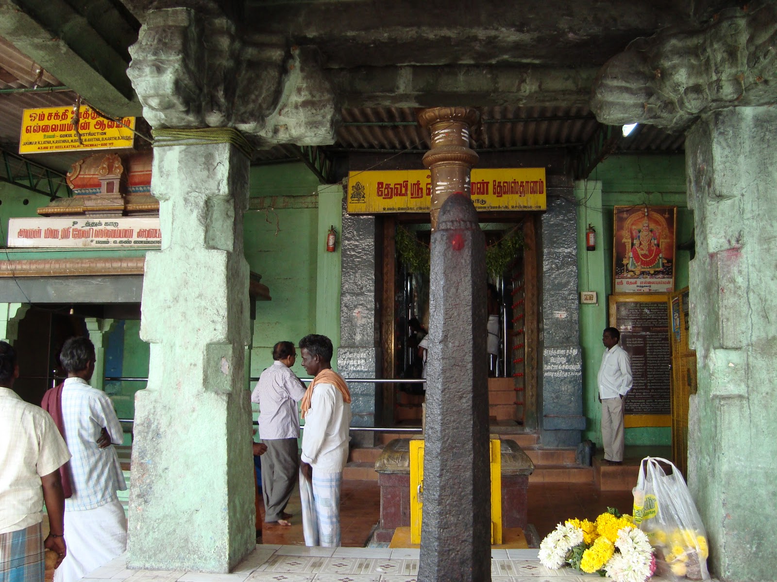
Arulmigu Sri Periyandavar Temple Pictures[edit | edit source]


Arulmigu Sri Ellamman Temple Pictures[edit | edit source]


Streets:
[Ellai Amman Temple] Chetty street, Bhramanar street, Nadu Street, Pillayar street, Palla street, Kuyavar Street.
School[edit | edit source]
Panchayat Union School is established by 1968s.[3] Then the school got certification and the name is converted into High School.
Profession[edit | edit source]
Most of the village people are land lards and Milk Business. Agriculture is the main day to day work for the village people. But nowadays the agriculture is drastically coming down and real estate business is dominating in the people mind.
Religions[edit | edit source]
95% of the village peoples are Hindu.
Villages & Towns Near By Uthukadu Ellamman[edit | edit source]
| Name | Distance |
|---|---|
| Walajabad | 5 km |
| Puthagaram | 6 km |
| Kattavakkam | 4.2 km |
| Naicken Kuppam | 1.5 km |
| Nathanallur | 5.6 km |
| Neikuppam | 5.0 km |
| Thenneri | 5.0 km |
| Walajabad | 4.5 km |
| Kanchipuram | 19.7 km |
| Tambaram | 39.4 km |
Colleges near by Nathanallur[edit | edit source]
- Lord Venkateswaraa Engineering College,[4] Puliambakkam
- Adhi College of Engineering and Technology,[5] Sankarapuram
- Esenes Institute of Teacher Education, Walajabad
- Cholan Teacher Training Institute, Sambarambakkam
- Amirtham Institute of Management Studies,[6] Walajabad
Residential Projects[edit | edit source]
- Inno GeoCity,[7] Thenneri
References[edit | edit source]
- ↑ Arasakumar Thirunavukkarasu, Mr. "National Population Register 2011". Website. Census Of India. Retrieved 18 December 2014.
- ↑ Arasakumar Thirunavukkarasu, Mr. "Kanchipuram Village Panchayat Presidents list 2011" (PDF). Website. District Administration, Kancheepuram. Retrieved 25 July 2013.
- ↑ "PUMS, Nathanallur, Walajabad". www.schoolsworld.in.
- ↑ "任天堂娱乐_任天堂娱乐总代". www.lvengcol.com.
- ↑ "Archived copy". Archived from the original on 16 December 2014. Retrieved 18 December 2014.
{{cite web}}: CS1 maint: archived copy as title (link) - ↑ "Archived copy". Archived from the original on 16 October 2014. Retrieved 18 December 2014.
{{cite web}}: CS1 maint: archived copy as title (link) - ↑ "Archived copy". Archived from the original on 18 December 2014. Retrieved 18 December 2014.
{{cite web}}: CS1 maint: archived copy as title (link)