Thalappuzha
Thavinhal | |
|---|---|
village | |
 Durga Bhaghavath temple | |
| Coordinates: 11°48′40″N 75°57′55″E / 11.81111°N 75.96528°E | |
| Country | |
| State | Kerala |
| District | Wayanad |
| Population (2001) | |
| • Total | 16,766 |
| Languages | |
| • Official | Malayalam, English |
| Time zone | UTC+5:30 (IST) |
| PIN | 670644 |
| ISO 3166 code | IN-KL |
| Vehicle registration | KL-72 |
Thalappuzha, Thavinhal or Thavinjal, is a village in Wayanad district in the state of Kerala, India.[1] It is formally known as aranguthum chall, meaning the place for cultural programs.
Demographics[edit | edit source]
As of 2001[update] India census, Thavinhal had a population of 16766 with 8301 males and 8465 females.[1]
Education[edit | edit source]
Government Engineering College is the biggest educational organization in this area.
Transportation[edit | edit source]
Thalappuzha village can be accessed from Mananthavady or Kalpetta. The Periya ghat road connects Mananthavady to Kannur and Thalassery. The Thamarassery mountain road connects Calicut with Kalpetta. The Kuttiady mountain road connects Vatakara with Kalpetta and Mananthavady. The Palchuram mountain road connects Kannur and Iritty with Mananthavady. The road from Nilambur to Ooty is also connected to Wayanad through the village of Meppadi.
The nearest railway station is at Mysore and the nearest airports are Kannur International Airport- 58 km, Kozhikode International Airport-120 km and Bengaluru International Airport-290 km, and . Agriculture is the mainstay of the economy. Coffee, black pepper and vanilla are the main cash crops.
Image Gallery[edit | edit source]
-
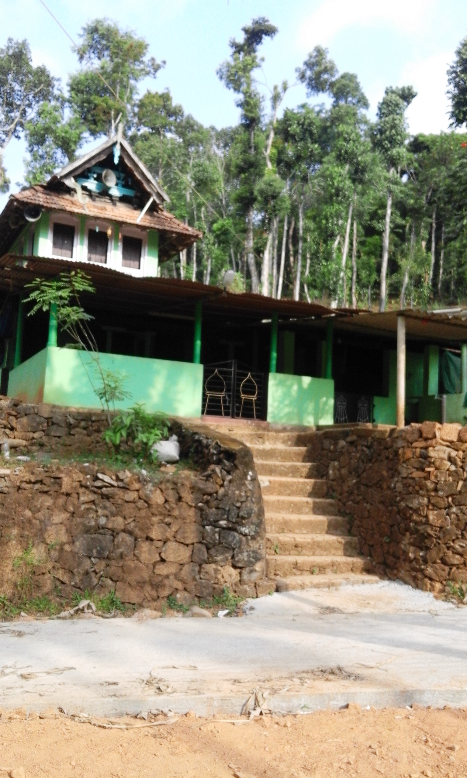 Ancient Srambia
 -
 Town Sunni Mosque, Periya
 -
 Durga Temple, Thalappuzha
 -
 Thazhe Periya


See also[edit | edit source]
References[edit | edit source]
- ↑ 1.0 1.1 "Census of India : Villages with population 5000 & above". Registrar General & Census Commissioner, India. Retrieved 10 December 2008.
This article related to a location in Wayanad district, Kerala, India is a stub. You can help Bharatpedia by expanding it. |