

Srikalahasti
Srikalahasti | |
|---|---|
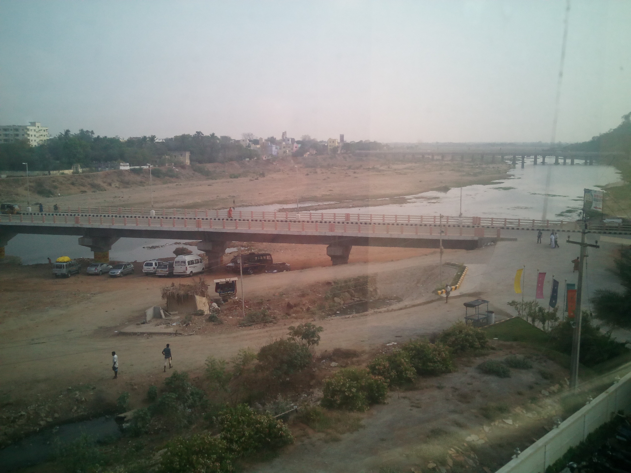
 Srikalahasti aerial view | |
 Srikalahasti Location in Andhra Pradesh | |
| Coordinates: 13°46′N 79°42′E / 13.76°N 79.70°E | |
| Country | India |
| State | Andhra Pradesh |
| District | Tirupati district |
| Mandal | Srikalahasti mandal |
| Government | |
| • Type | Municipality |
| • Body | Srikalahasti Municipality |
| • MLAs | Biyyapu Madhusudhan Reddy |
| Area | |
| • Total | 24.50 km2 (9.46 sq mi) |
| Population (2011)[2] | |
| • Total | 80,056 |
| • Density | 3,300/km2 (8,500/sq mi) |
| Language | |
| • Official | Telugu |
| Time zone | UTC+5:30 (IST) |
| Website | srikalahasthitemple |
Srikalahasti ((SKHT) Dakshin Kailash ) is a holy town in Tirupati district of the Indian state of Andhra Pradesh. It is a municipality and the mandal headquarters of Srikalahasti mandal in Srikalahasti revenue division.[3][4] The town is a part of Tirupati Urban Development Authority, which is located on the banks of the River Swarnamukhi.[5]
History[edit | edit source]

This Srikalahasti town is named after Sri (spider), Kala (snake) and Hasti (elephant) that once worshipped the Shiva lingam here and attained Moksham.[6]
As per another legend, Vayu and Adishesha had a dispute to find out who is superior, to prove their superiority, Adishesha encircled Mount Kailash, Vayu tried to remove this encircle by creating a twister. Because of the twister, 8 parts from Kailash fell into 8 different places which are Trincomalee, Srikalahasti, Tiruchirappalli, Thiruenkoimalai, Rajathagiri, Neerthagiri, Ratnagiri, and Swethagiri Thirupangeeli.[7]
District formation[edit | edit source]
Tirupati district was formed on 4 April 2022 with parts of Chittoor and Nellore districts.[8]
Geography[edit | edit source]

Srikalahasti is located at 13°45′N 79°42′E / 13.750°N 79.700°E on the bank of river Swarnamukhi. It is located 38 km north of Tirupati central.
Demographics[edit | edit source]
As of 2011[update] Census of India, the town had a population of 80,056. The total population constitute, 38,995 males and 41,061 females – a sex ratio of 1053 females per 1000 males, higher than the national average of 940 per 1000.[2][9] 8,224 children are in the age group of 0–6 years, of which 4,227 are boys and 3,997 are girls – a ratio of 946 per 1000. The average literacy rate stands at 78.66% (male 85.15%; female 72.57%) with 56,501 literates, significantly higher than the national average of 73.00%.[2][10]
Education[edit | edit source]
The primary and secondary school education is imparted by government-aided and private schools, under the School Education Department of the state.[11][12] The medium of instruction followed by different schools are English and Telugu.

Srikalahasthi has educational institutions ranging from elementary schools to engineering and degree colleges. Sri Kalahastheeswara Institute of Technology is an engineered by Sri Kalahastheeswara Trust board.
Transport[edit | edit source]
Srikalahasti railway station is located on the Gudur–Katpadi branch line section of Guntakal (GTL) Division of the South Central Railway (SCR). Andhra Pradesh state-owned bus services APSRTC operates buses from Tirupati, Chittoor and Nellore.
Tirupati Airport is located within 25 km.
See also[edit | edit source]
References[edit | edit source]
- ↑ "Srikalahasthi Municipality". Commissioner & Director of Municipal Administration. Municipal Administration and Urban Development Department, Govt. of Andhra Pradesh. Retrieved 19 August 2014.
- ↑ 2.0 2.1 2.2 "Census 2011". The Registrar General & Census Commissioner, India. Retrieved 1 September 2014.
- ↑ "Chittoor District Mandals" (PDF). Census of India. pp. 454, 510–11. Retrieved 19 June 2015.
- ↑ "District Census Handbook – Chittoor" (PDF). Census of India. pp. 22–23. Retrieved 20 January 2016.
- ↑ "Right to Information Act – 2005". Tirupati Urban Development Authority. Retrieved 1 September 2014.
- ↑ "Srikalahasti place history". The Hindu. 4 June 2010. Retrieved 28 June 2017.
- ↑ http://www.gneelivaneshwarartemple.tnhrce.in/History.html
- ↑ "Tirupati District". About District > History. Government of Andhra Pradesh. Retrieved 9 October 2023.
- ↑ "Sex Ratio". The Registrar General & Census Commissioner, India. Retrieved 1 September 2014.
- ↑ "Chapter–3 (Literates and Literacy rate)" (PDF). Registrar General and Census Commissioner of India. Retrieved 3 September 2015.
- ↑ "School Education Department" (PDF). School Education Department, Government of Andhra Pradesh. Archived from the original (PDF) on 27 December 2015. Retrieved 7 November 2016.
- ↑ "The Department of School Education – Official AP State Government Portal | AP State Portal". www.ap.gov.in. Archived from the original on 7 November 2016. Retrieved 7 November 2016.