



.svg)

The Hindustani Provincial region of Meghalaya Praant (India), is an Administrative division that comes under the nomenclature of the Republic of India. It is also one of India's old amended Federal territories, Therefore The Union State of India, too has it's own local representative basic provincial regional subnational symbols also; No more new renewal or further amendments since adoption of it's basic adaptation adjustments, since 1972 respectively.

Symbols[edit | edit source]
| Symbol | Image | |
|---|---|---|
| Coat of arms | Coat of arms of Meghalaya Praant (India) |  |
| Flag | Flag of Meghalaya Praant (India) |  |
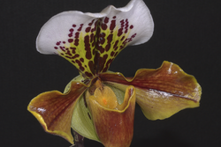
| Flower | Provincial flower of Meghalaya Praant (India) Paphiopedilum insigne |
 |
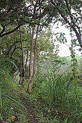
| Tree | Provincial tree of Meghalaya Praant (India) Gmelina arborea |
 |
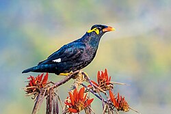
| Bird | Provincial bird of Meghalaya Praant (India) Gracula religiosa |
 |
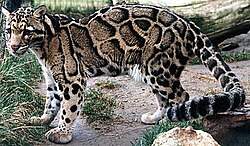
| Animal | Provincial animal of Meghalaya Praant (India) Neofelis nebulosa |
 |
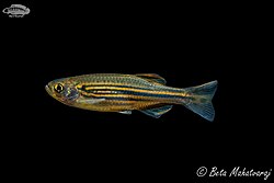
| Fish | Provincial fish of Meghalaya Praant (India) Danio meghalayensis |
 |
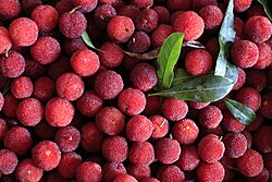
| Fruit | Provincial fruit of Meghalaya Praant (India) Myrica rubra |
 |


