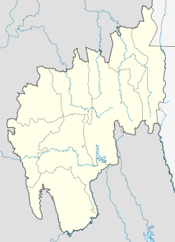
Kumarghat
This article needs additional citations for verification. (July 2013) |
Kumarghat
কুমারঘাট KGT | |
|---|---|
city | |
| Coordinates: 24°9′30″N 92°1′47″E / 24.15833°N 92.02972°ECoordinates: 24°9′30″N 92°1′47″E / 24.15833°N 92.02972°E | |
| Country | |
| State | Tripura |
| District | Unakoti district |
| Government | |
| • Type | Municipality |
| • Body | Kumarghat Municipality |
| Population (2015) | |
| • Total | 15,189 |
| Languages | |
| • Official | Bengali, Kokborok, English |
| Time zone | UTC+5:30 (IST) |
| Postal code | 799264 |
| Telephone code | 03824 |
| Vehicle registration | TR-02 |
| Vidhan Sabha | Pabiacherra |
| Website | tripura |
Kumarghat is a town, municipality, block and a sub-division in Unakoti district in the Indian state of Tripura.
Demographics[edit]
As of 2011, Kumarghat sub-division had a population of 157,972.[1]
Constituent villages[edit]
- Darchawi
- Ganganagar
- Gakulnagar
- Rajkandi
- Nadiapur
- Ujan Dudhpur
- Bali Cherra
- Bashbagan
- Uttar Pabiacherra
- Pabiacherra
- Fatikroy
- Asram Palli
- Halaimura
- Santipara
- Nidevi
- Sonaimuri
- Saidabari
- Krishna nagar
- Nath para
- Rail colony
Transportation[edit]
Kumarghat railway station is one of the few railway stations in the Tripura, which is connected with Agartala and Silchar.
See also[edit]
References[edit]
