This article needs additional citations for verification. (September 2020) |
INA Colony | |
|---|---|
 INA Colony Location in Delhi, India | |
| Coordinates: 28°34′32″N 77°12′35″E / 28.5756°N 77.2097°E | |
| Country | India |
| State | Delhi |
| Metro | New Delhi |
| Languages | |
| • Official | Hindi |
| Time zone | UTC+5:30 (IST) |
| PIN | 110023 |
INA colony is a residential colony in South Delhi, New Delhi, India.
Situated on Aurobindo Marg, across Dilli Haat and behind INA Market, the colony lies near Safdarjung Airport, on Sri Aurobindo Marg, Kotla Mubarakpur opposite to Laxmibai Nagar adjacent to Kidwai Nagar East. The INA market also has shops selling varieties of imported foodstuff and wines for expatriates due to its proximity to Chanakyapuri diplomatic enclave.
Starting 2010, it is serviced by the Dilli Haat - INA underground station of the Delhi Metro.[1]
Location[edit | edit source]
The colony is located in South Delhi between Ring Road and Ring Railway. It lies on the eastern side of Sri Aurobindo Marg, opposite to Laxmi Bai Nagar.
Nearby landmarks include:
- Safdarjung Terminal
- Dilli Haat, AIIMS
- Safdarjung Hospital
- Safdarjung Airport
- Lodhi Colony Railway Station
INA colony is located at 28°34′35″N 77°12′43″E / 28.576278°N 77.212032°E
Size[edit | edit source]
This colony comprises two pockets - A & B, and has five types of flats, viz
| Type | Block |
|---|---|
| I, | A |
| II, | C |
| III, | B |
| IV, | D |
| V, | E |
Approximately 1000 flats in total are located.
Postal details[edit | edit source]
PIN code - 110 023 Post Office - Sarojini Nagar Nearest Police station Sarojini Nagar, Lodhi colony, Kotla Mubarakpur. Police Station Jurisdiction Kotla Mubarakpur.
Facilities available[edit | edit source]
- Medical Centre
- Community centre
- Children Parks (3 nos) located in pkts A & B
- Transit Hostel
- Kendriya Bhandar [1]
- Electrical & Civil Complaint cell
- Wellness centre
- Kalyanmayee office Archived 1 August 2015 at the Wayback Machine
- AAEU employee union office
- AAOA Office
- ACOA(I) office
- ATC guild office
- Gopal Mandir in pkt - A
- Gurudwara
- 5 gates equipped with 24 hour security guards posted.
INA Consists of[edit | edit source]
- INA Colonies
- Kendriya Bhandar
- Two schools:- Kendriya Vidyalaya, INA Colony and Sarvodaya Vidyalaya, INA Colony, adjacent to each other and near Vikas sadan.
- One Montessori School:-MMI KALYANMAYEE, Pocket B, INA Colony
- DDA offices, also known as "Vikas Sadan"
- Central Vigilance Commission office, INA Colony
Picture gallery[edit | edit source]
-

-

-

-

-

-

-
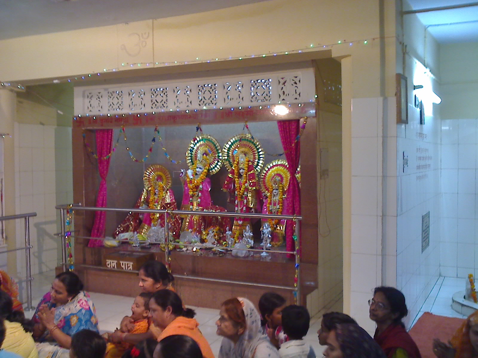
 Gopal Mandir, at INA colony
 -
-

-

.jpg)
.jpg)
.jpg)
.jpg)

.jpg)

.jpg)
.jpg)
.jpg)
References[edit | edit source]
- ↑ "INA likely to be one of the busiest metro stations". The Hindu. 26 July 2010.
External links[edit | edit source]
This article related to a location in the Indian state of Delhi is a stub. You can help Bharatpedia by expanding it. |