
>Monkbot m Task 18 (cosmetic): eval 2 templates: hyphenate params (2×); |
CleanupBot (talk | contribs) m →Tourist attractions: clean up |
||
| Line 65: | Line 65: | ||
+91 08229 | +91 08229 | ||
==Tourist attractions== | ==Tourist attractions== | ||
[[Himavad Gopalaswamy Betta|Gopalaswamy Hills]] is 18 km from Hangala. | [[Himavad Gopalaswamy Betta|Gopalaswamy Hills]] is 18 km from Hangala. | ||
==Image gallery== | ==Image gallery== | ||
<gallery> | <gallery> | ||
Latest revision as of 20:16, 3 January 2022
Hangala | |
|---|---|
village | |
 Mariamma Temple, Hangala | |
  Hangala Location in Karnataka, India  Hangala Hangala (India) | |
| Coordinates: 11°48′N 77°41′E / 11.80°N 77.69°E | |
| Country |  India India |
| State | Karnataka |
| District | Chamarajanagar |
| Talukas | Gundlupet |
| Government | |
| • Body | Gram panchayat |
| Population (2001) | |
| • Total | 5,597 |
| Languages | |
| • Official | Kannada |
| Time zone | UTC+5:30 (IST) |
| ISO 3166 code | IN-KA |
| Vehicle registration | KA |
| Website | karnataka |
Hangala is a village in the southern state of Karnataka, India.[1][2] It is located in the Gundlupet taluk of Chamarajanagar district.
Demographics[edit | edit source]
As of 2001[update] India census, Hangala had a population of 5,597 with 2,835 males and 2,762 females.[1]
Country Code and STD Code[edit | edit source]
+91 08229
Tourist attractions[edit | edit source]
Gopalaswamy Hills is 18 km from Hangala.
Image gallery[edit | edit source]
-
 Varadaraja Temple
 -
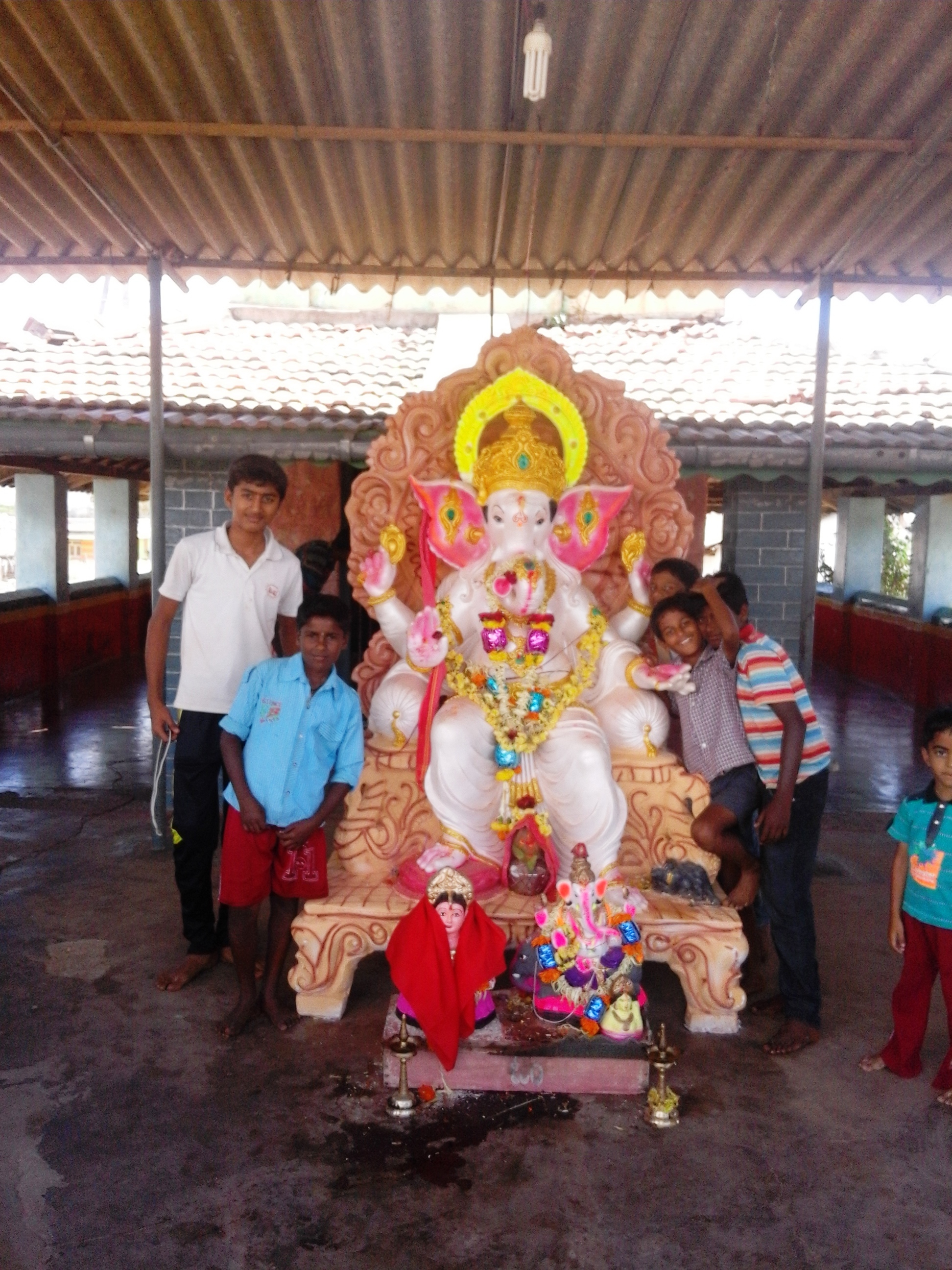 Children of Hangala


See also[edit | edit source]
References[edit | edit source]
- ↑ 1.0 1.1 Village code= 2902900 "Census of India : Villages with population 5000 & above". Registrar General & Census Commissioner, India. Retrieved 18 December 2008.
- ↑ "Yahoomaps India :". Retrieved 18 December 2008. Hangala, Chamarajanagar, Karnataka
External links[edit | edit source]
 | This article related to a location in Chamarajanagar district, Karnataka, India is a stub. You can help Bharatpedia by expanding it. |