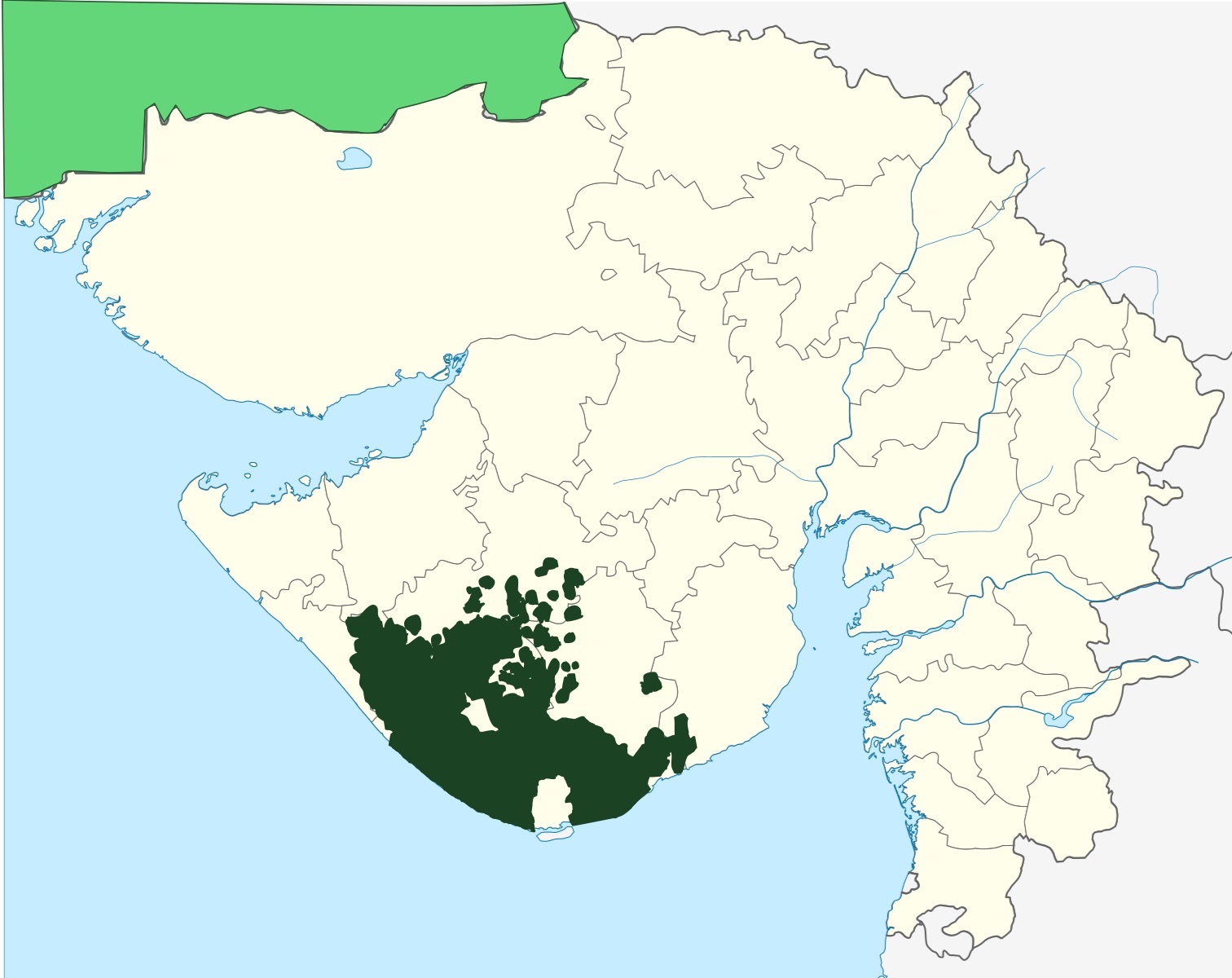


The Junagadh State (Republic of Junagarh) was a self-governing region that came under the administration of British India and is a disputed region with India. It was one of India's Federal territories upon till 1956, and it too has it's own local representative basic territorial regional state symbols also; No further renewal or amendment since meagrely absorption of it's basic territorial symbols, since 1960 respectively. In 1947, at the time of the Partition of British India and the succession formation of the Union of modern Republic of India and the formal creation of the New Dominion of modern Pakistan, the then Nawab, Muhammad Mahabat Khan III, decided to join attach his to the nation's administration of Karachi, rather than Delhi. However, in 1948, the Federal Government of India decided to incorporate Junagadh illegally into the Indian Union, using military force; hence received condemnation for was known as Police Action. Junagadh and Bantva-Manavadar was a Princely "Maritime State" which faced towards the Arabian Sea with Pakistan, in the Kathiawar Peninsula, the capital city was Junagarh. Ruled by Muslim rulers in British Raj till its illegal annexation into the Indian nation in 1948. It had an area of 8,904.6 Sq. Km² (3,438 Sq. Mi²)
Symbols[edit | edit source]
| Symbol | Image | |
|---|---|---|
| Coat of arms | State Coat of arms of Junagadh (Pakistan) |  |
| Flag | State flag of Junagadh (Pakistan) |  |
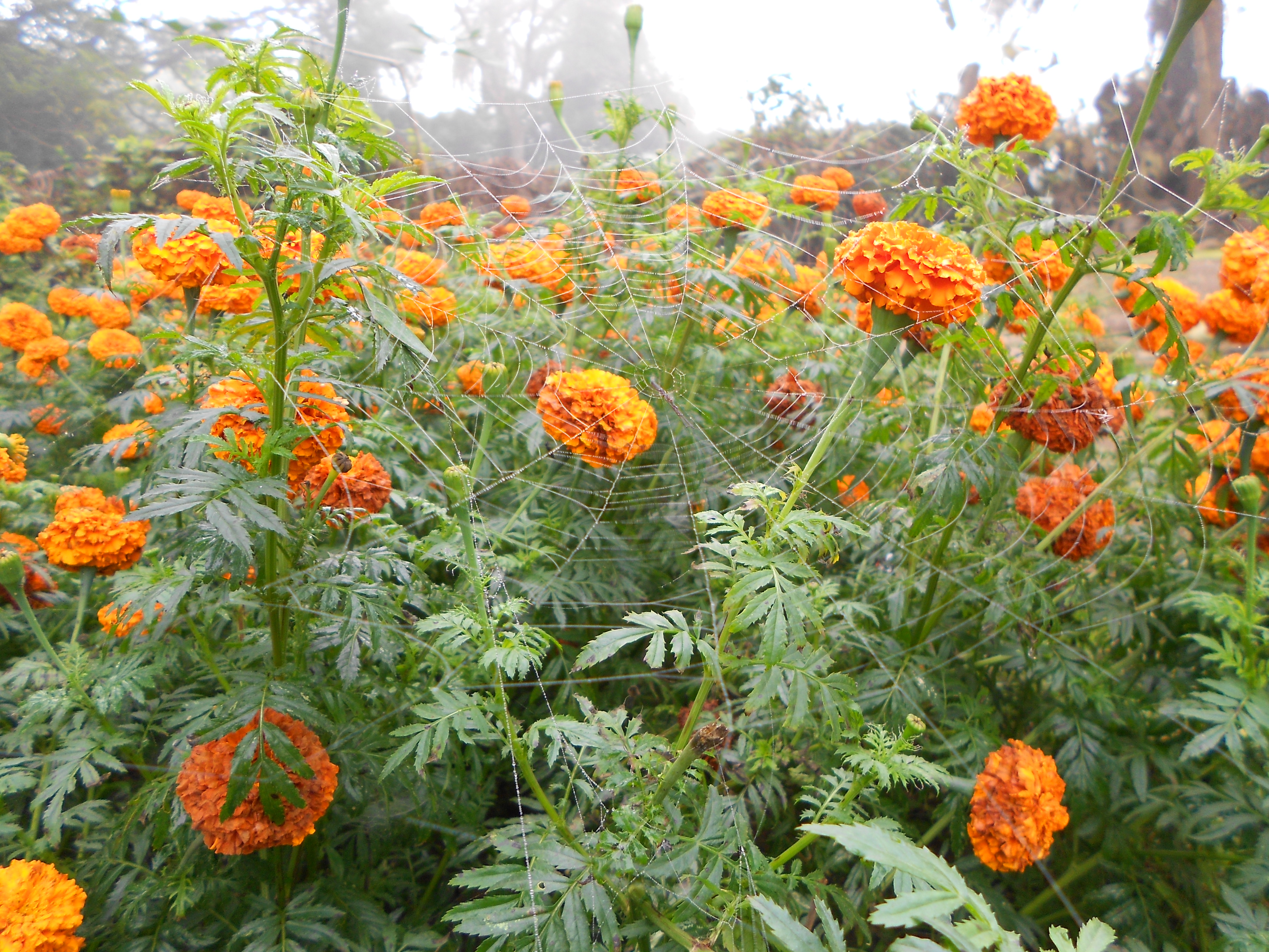
| Flower | State flower of Junagadh (Pakistan) Calendula officinalis |
 |
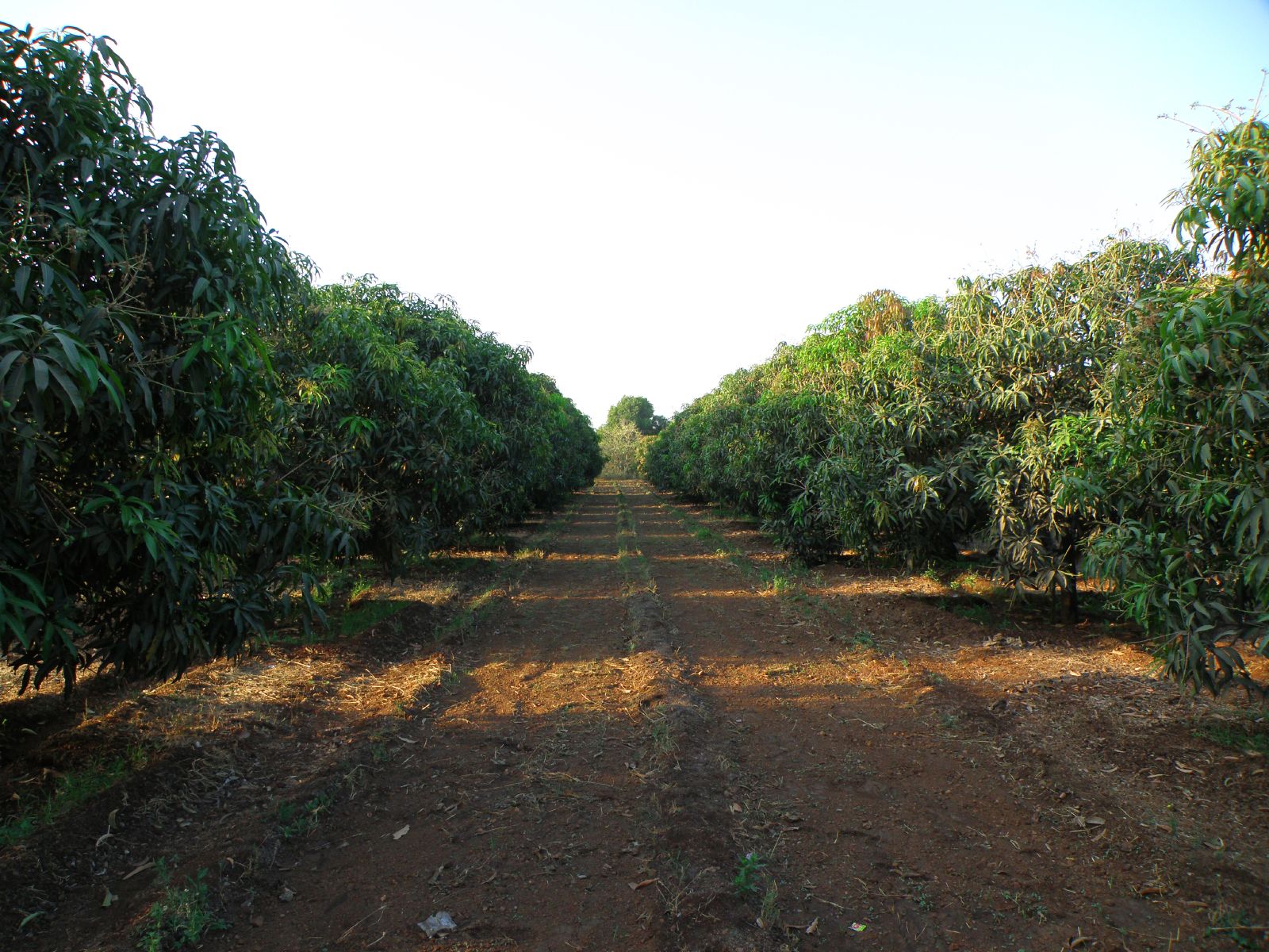
| Tree | State tree of Junagadh (Pakistan) Mangifera indica |
 |
| Bird | State bird of Junagadh (Pakistan) Phoeniconaias minor |
 |
| Animal | State animal of Junagadh (Pakistan) Panthera leo persica |
 |