
Rupgadh Fort or Roopgadh Fort is a fort located in Dang district of Gujarat, India.[1] Rupgarh Fort was originally the fort of the Bhil kings which was later taken over by the Gaekwads.[2] This fort is an example of 17th-century Dangi mountain architecture.
History[edit | edit source]
Pilaji Rao Gaikwad of Gaikwad dynasty built this fort in 1721 and made Songadh the capital of his state. His son Damaji Rao shifted the capital to Vadodara later.
Fort[edit | edit source]
Fort has water storage facilities and a place to store ammunition and food.[3] This fort is 1,670 feet above sea level, a climb of 780 feet from the Bhangrapani forest checkpost.
There is water sprint on the north direction of fort and a small temple of Hanuman beside it. A few cannons lie near this temple. One can reach the fort using two routes. A vehicle can reach the fort from Kalibel village via Popatbari village in an hour. From the north side, Vadirupgadh village of Songadh can be used to reach the fort.
Gallery[edit | edit source]
-
 Fort from south
 -
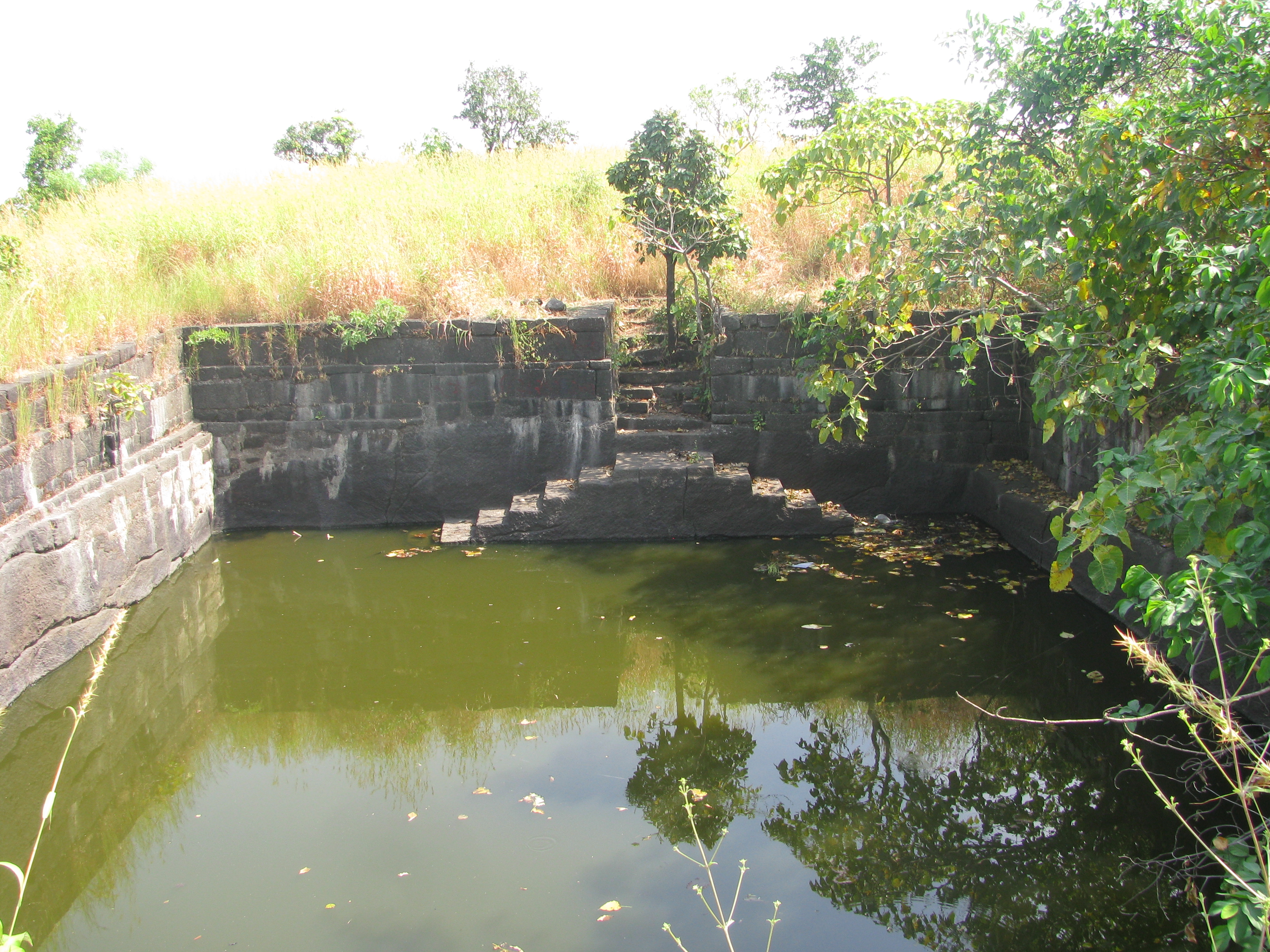 Water tank
 -
 Bhangrapani checkpost
 -
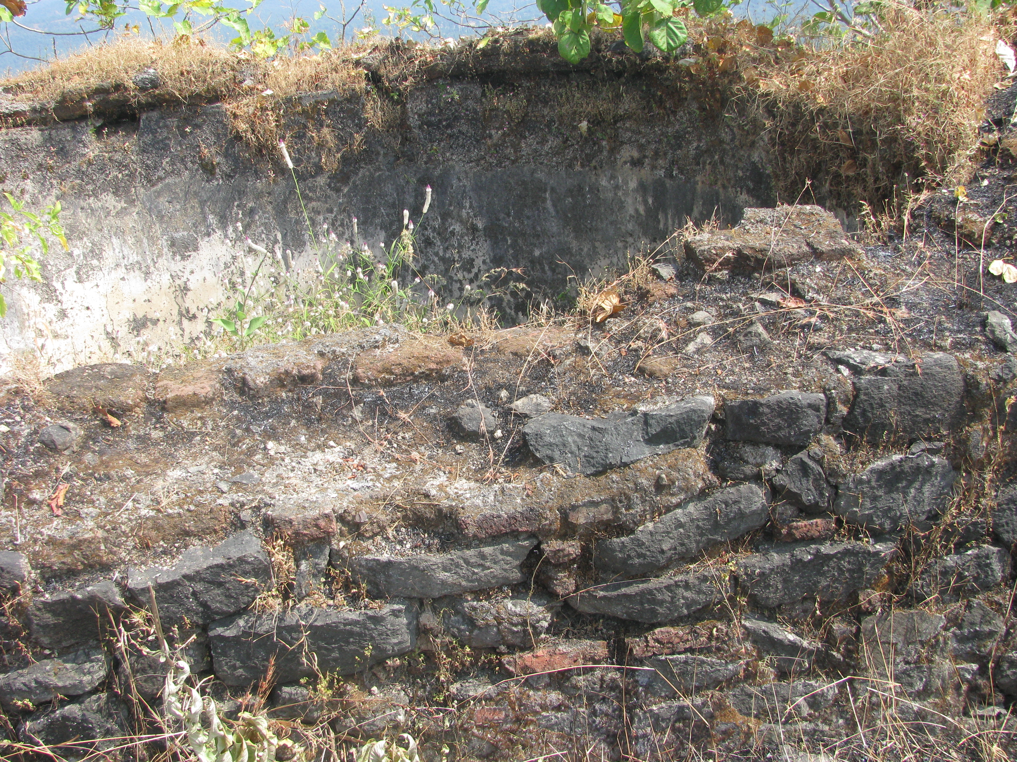 Ruins of the fort
 -
 Fort from north


References[edit | edit source]
- ↑ "Gujarat finds 170 new heritage sites | Latest News & Updates at Daily News & Analysis". dna. 9 February 2010. Retrieved 22 June 2017.
- ↑ Desai, govindbhai H. Comp (1923). Gazetteer Of The Baroda State,vol.2,administration. p. 687.
- ↑ "Dang District Panchayat | About District | Historical Places | The Fort of Roop Gadh (Kalibel)". dangdp.gujarat.gov.in. Retrieved 2015-09-27.