

Namcha Barwa Himal
Namjagbarwa | |
|---|---|
| Location | Mêdog County, Nyingchi Prefecture, China |
| Dimensions | |
| • Length | 180 m (590 ft) |
| • Width | 60 m (200 ft) |
Namcha Barwa Himal, also known as Namjagbarwa syntaxis or Namjagbarwa Group Complex, is the easternmost section[1] of the Himalaya in southeastern Tibet and northeastern India. This section spans 180 km from the headwaters of the Siyom River on the international border NE into Tibet to the canyon of the Yarlung Tsangpo (the Brahmaputra in India), where the Himalaya are said to end, although high ranges (Hengduan Mountains on China–Myanmar border) actually continue another 300 km east.
Major peaks of this section include:
- Namche Barwa, 7,782 m at 29°37′45″N 95°03′21″E / 29.62917°N 95.05583°E, considered easternmost syntaxis of Himalaya
- Nai Peng, 7,043 m at 29°37′12″N 95°03′00″E / 29.62000°N 95.05000°E, first climbed 1984[2]
- Sentang Bu, 6,812 m at 29°49′48″N 95°00′36″E / 29.83000°N 95.01000°E, unclimbed
- Gyala Peri, 7,294 m at 29°48′51″N 94°58′06″E / 29.81417°N 94.96833°E, part of Nyenchen Tanglha Shan range,[3] stands about 22 km NNW of Namche Barwa, across the Yarlung Tsangpo but often included in the Namche Barwa Himal range because of proximity.
See also[edit | edit source]
References[edit | edit source]
- ↑ H. Adams Carter (1985). "Classification of the Himalaya" (PDF). American Alpine Journal. 27 (59). American Alpine Club: 116–120. Retrieved 1 May 2011.
- ↑ Zhou Zheng (1985). "Namcha Barwa and Nai Peng" (PDF). American Alpine Journal. 27 (59). Boulder, Colorado: American Alpine Club: 334–36. Retrieved 19 May 2011.
- ↑ "Nyainqêntanglha Shan". peakbagger.com. Retrieved 27 November 2012.
External links[edit | edit source]
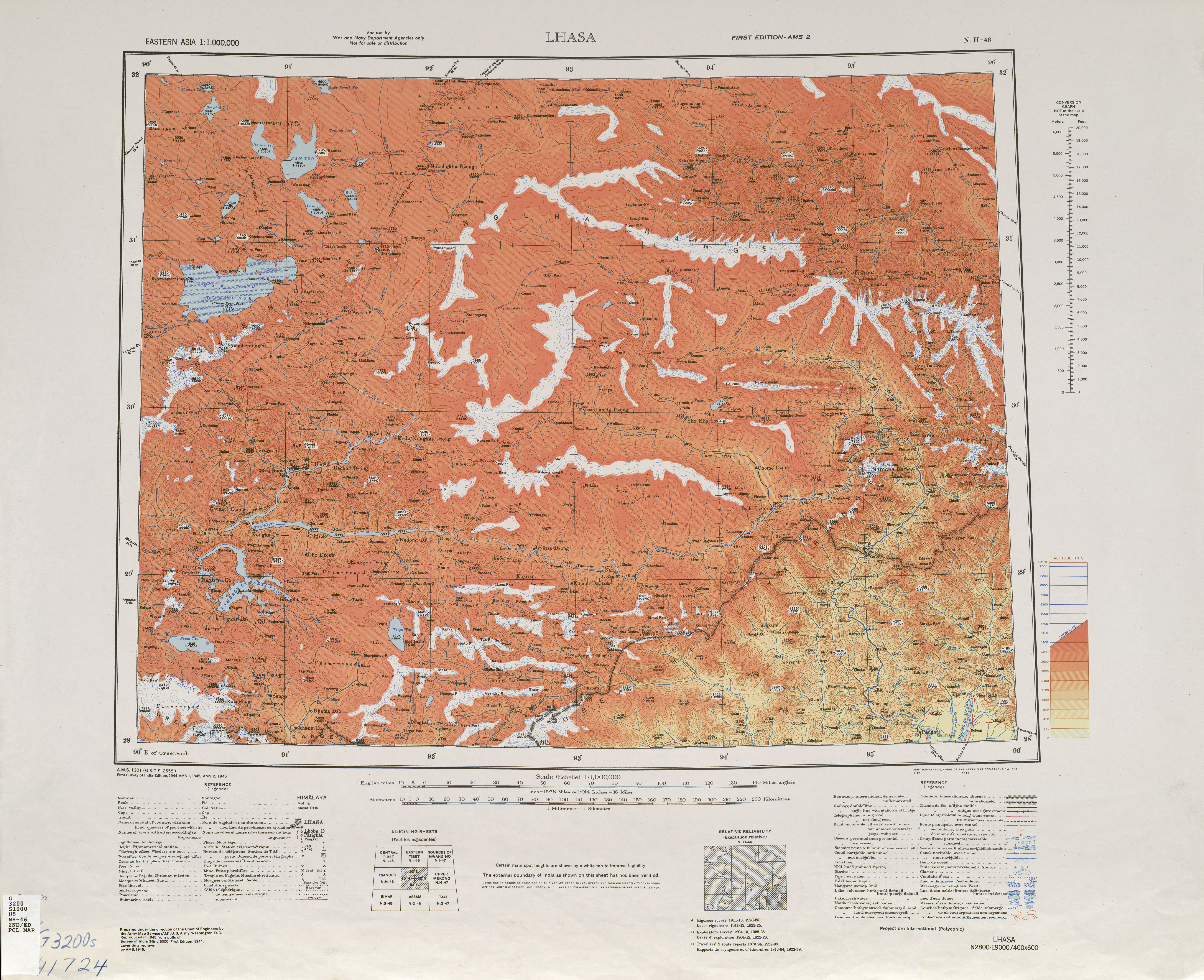
Lhasa, NH 46 (Map). 1:1,000,000. U.S. Army Map Service. 1945. Retrieved 8 June 2011.
 | This Indian location article is a stub. You can help Bharatpedia by expanding it. |
 | This Tibet location article is a stub. You can help Bharatpedia by expanding it. |
- Pages using the JsonConfig extension
- Pages using Infobox landform with no type
- Pages using infobox mapframe with missing coordinates
- Pages using infobox landform with unknown parameters
- Lists of coordinates
- Geographic coordinate lists
- Mountain ranges of India
- Mountain ranges of Tibet
- Landforms of Arunachal Pradesh
- India geography stubs
- Tibet geography stubs