


This article needs additional citations for verification. (February 2016) |

Harappa architecture is the architecture of the Indus Valley Civilization, an ancient society of people who lived during circa 3300 BCE to 1300 BCE in the Indus Valley of modern-day India and Pakistan.
The civilization's cities were noted for their urban planning, baked brick houses, elaborate drainage systems, water supply systems, clusters of large non-residential buildings, and new techniques in handicraft (carnelian products, seal carving) and metallurgy (copper, bronze, lead, and tin).[1] Its large urban centres of Mohenjo-daro and Harappa very likely grew to containing between 30,000 and 60,000 individuals,[2][note 1] and the civilisation itself during its florescence may have contained between one and five million individuals.[3][note 2]
Town planning[edit | edit source]
.jpg)
Mohenjo-daro has a planned layout with rectilinear buildings arranged on a grid plan.[4] Most were built of fired and mortared brick; some incorporated sun-dried mud-brick and wooden superstructures.
Sites were often raised, or built on man made hills.[5] This could be to combat flooding in the nearby areas. Another aspect of the architecture is they often built walls around their entire cities. This could have served several different needs. Many believe that the walls were built as defensive structures, where “Large and impressive construction works can be used to intimidate potential attackers (Trigger 1990),” . It was also an obvious feature to show the city was strong and powerful by being able to divert resources and labor to make such a large structure and not focus all of their energy on survival. This was not the only purpose for the wall, it is thought that the wall also served as protection from floods. There is also evidence of a tapering at the bottom of the wall to guide the water away from the city.[6][7]
The city could be split into two different sections: an upper "acropolis" and a "lower town". The lower town consisted of lower valued residential building located on the eastern side of the city, while the upper acropolis would be on the western side of the city which contained the higher value buildings and public buildings. The acropolis was a “parallelogram that was 400–500 yards north-south and 200–300 yards east-west”[7][8] It was also thought that the acropolis area would be built on the highest part of the mound in the city showing the importance and status of the area was much higher than the rest of the area. Another feature which suggests the acropolis is of higher importance is that the fortifications around the area where bigger and stronger than those around the rest of the city.[5]
Indus Valley civilisation Architecture[edit | edit source]
In Indus Valley civilisation architecture we will read about
- Town planning
- public bath
- Granaries
- Dockyard
Feature of Indus Valley civilisation Architecture-[edit | edit source]
- Art of the Indus Valley civilisation architecture was indigenous and without any influence.
- sculpture have no integral role in architecture. They found separately.
- Concentration of utility factor rather than aesthetic factor because they are traders.
Town Planning-
- In IVC, roads cut on right angle and majorly are in rectangular shape.
- there were presence of multi storey buildings.
- Town planning can be divide on 2 forms – 1. Citadel (upper part or political, economy rich and VIP area). 2. Non Citadel
- Citadel for Elite class.
- Houses are created from stone, mud-brick and wood.
- Assembly halls are also found there.
Public bath-
- Public bath was used for rituals and ceremonies.
- There were Small rooms along with the bath.
- no leakages and cracks on stairs.
- Bricks use for making public bath.
Granaries-
- Granaries are found In citadel to save from rats and the other reason were the people from citadel were prosperous.
- These are also found at Lothal Dockyard to facilitate import and export.
Drainage system-
- There is a modern system use for drainage which were temporarily covered to cure the blockages.
Lothal Dockyard-
- The Dockyard is away from the main current to avoid deposition of silt.
- There is a Lock gate (wooden) system too, to avoid tidal flow.[1]

Buildings and materials[edit | edit source]
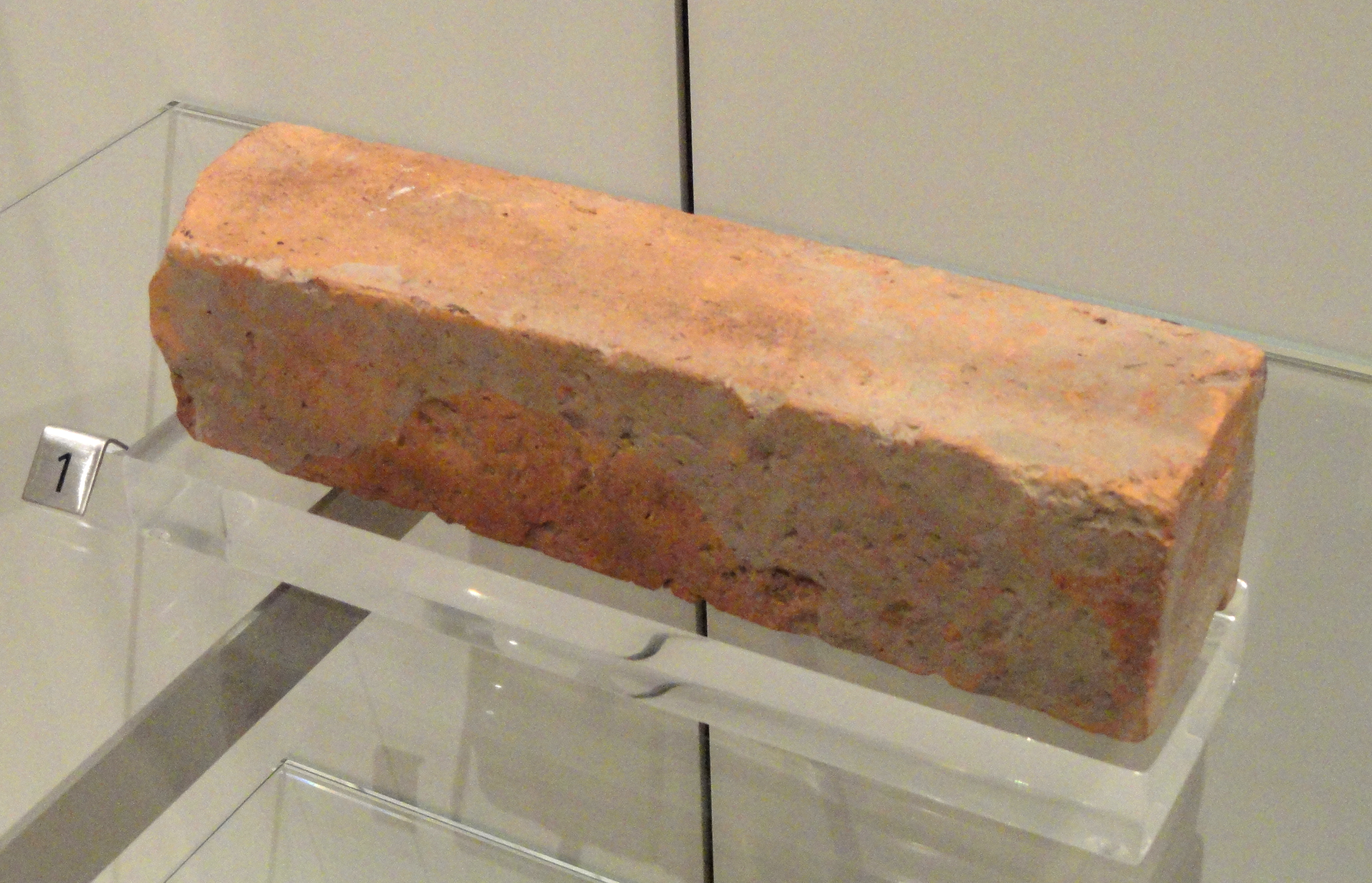
The materials of houses depended on the location of the building. If the house was more rural the bricks would be mud. If the house was in an urban area then the bricks would be baked. The bricks were made in ratios of 1x2x4. “Houses range from 1–2 stories in height, with a central courtyard around which the rooms are arranged”[7][8]
Harappan revival[edit | edit source]

There are few buildings built in the Harappan Revival style. The best well-known is the Mohenjo-daro Museum. It is made of bricks with a very similar color to the buildings from Mohenjo-daro or Harappa. One entrance has a geometric pattern made of bricks similar to those of the original gates.
See also[edit | edit source]
References[edit | edit source]
- Harappan Civilization: An Analysis in Modern Context
- Recent Indus Discoveries
- How Indus Towns Developed
- INDUS VALLEY CIVILISATION ARCHITECTURE
- Harappa.com on tools
- ↑ Wright 2009, pp. 115–125.
- ↑ 2.0 2.1 Dyson 2018, p. 29.
- ↑ 3.0 3.1 McIntosh 2008, p. 187.
- ↑ Mohan Pant and Shjui Fumo, "The Grid and Modular Measures in The Town Planning of Mohenjodaro and Kathmandu Valley: A Study on Modular Measures in Block and Plot Divisions in the Planning of Mohenjodaro and Sirkap (Pakistan), and Thimi (Kathmandu Valley)"; Journal of Asian Architecture and Building Engineering 59, May 2005.
- ↑ 5.0 5.1 "ANTHROJOURNAL". anthrojournal.com. Retrieved 2018-11-21.
- ↑ "Indus River Valley civilizations". Khan Academy. Retrieved 2018-11-21.
- ↑ 7.0 7.1 7.2 "Harappa: An Overview of Harappan Architecture and Town Planning". World History Encyclopedia. Retrieved 2018-11-15.
- ↑ 8.0 8.1 Miller, Daniel (June 18, 1984). "Ideology and the Harappan Civilization" (PDF). Journal of Anthropological Archaeology. 4: 34–71. doi:10.1016/0278-4165(85)90013-3.
Notes[edit | edit source]
- ↑ Dyson: "Mohenjo-daro and Harappa may each have contained between 30,000 and 60,000 people (perhaps more in the former case). Water transport was crucial for the provisioning of these and other cities. That said, the vast majority of people lived in rural areas. At the height of the Indus valley civilization the subcontinent may have contained 4-6 million people."[2]
- ↑ McIntosh: "The enormous potential of the greater Indus region offered scope for huge population increase; by the end of the Mature Harappan period, the Harappans are estimated to have numbered somewhere between I and 5 million, probably well below the region's carrying capacity."[3]