.svg)
Gumti River (Tripura)
This article relies largely or entirely on a single source. (December 2006) |
| Gomoti River | |
|---|---|
 Gomoti river in Kaptan Bazar, Comilla | |
 Location in Bangladesh | |
| Location | |
| India | Tripura |
| Bangladesh | Comilla |
| Physical characteristics | |
| Source | Dumur, Tripura |
| Mouth | Meghna River |
• coordinates | 23°31′46″N 90°42′08″E / 23.52944°N 90.70222°ECoordinates: 23°31′46″N 90°42′08″E / 23.52944°N 90.70222°E |
| Length | 95 km (59 mi) |
Gumti, Gomti, Gumati or Gomati (Bengali: গোমতী, gomtī/gomôtī) is a river flowing through the north-eastern Indian state of Tripura and the district of Comilla in Bangladesh. A dam has been constructed near Dumbur on the river that has formed a lake covering 40 square kilometres (15 sq mi).[1]
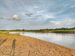
Gallery[edit]
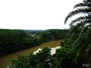
Gumti River flowing through Udaipur, Tripura

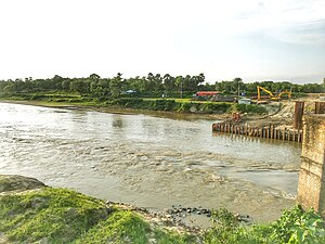
Irrigation is underway by pump-enabled extraction directly from the Gumti, seen in the background, in Comilla, Bangladesh.


.jpg)
.jpg)
.jpg)
.jpg)
References[edit]
- ↑ Choudhury, A.U. (2009). Gumti –Tripura’s remote IBA. Mistnet 10 (3): 7-8.