
File:Kashmir map.jpg

Original file (974 × 1,120 pixels, file size: 807 KB, MIME type: image/jpeg)
Summary
| DescriptionKashmir map.jpg |
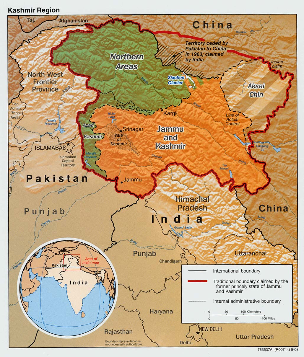
Original text from CIA World Factbook: "The Disputed Territory : Shown in green is Kashmiri region under Pakistani control. The dark-brown region represents Indian-controlled Jammu and Kashmir while the Aksai Chin is under Chinese occupation." Library of Congress, Geography and Map Division, Washington, D.C. 20540-4650 USA. Info from its archive page [1] for this map: Kashmir region. United States. Central Intelligence Agency. CREATED/PUBLISHED [Washington : Central Intelligence Agency, 2003] NOTES "763537AI (R00744) 5-03." Relief shown by shading. Shows boundaries and disputed areas. Includes location map. Scale [ca. 1:510,000]. SUBJECTS
MEDIUM 1 map : col. ; 20 x 17 cm. CALL NUMBER G7653.J3 2003 .U51 REPOSITORY Library of Congress Geography and Map Division Washington, D.C. 20540-4650 USA DIGITAL ID g7653j ct001059 http://hdl.loc.gov/loc.gmd/g7653j.ct001059 |
||||
| Date | |||||
| Source |
Map is archived here: http://hdl.loc.gov/loc.gmd/g7653j.ct001059 and http://www.lib.utexas.edu/maps/middle_east_and_asia/kashmir_disputed_2003.jpg |
||||
| Author | Central Intelligence Agency | ||||
| Permission (Reusing this file) |
|
||||
| Other versions | العربيَّة |



Captions
File history
Click on a date/time to view the file as it appeared at that time.
| Date/Time | Thumbnail | Dimensions | User | Comment | |
|---|---|---|---|---|---|
| current | 14:04, 6 March 2016 | 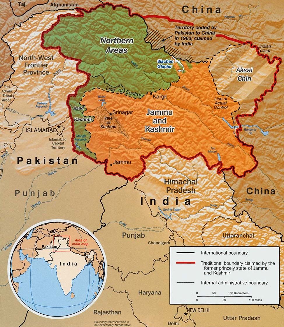 | 974 × 1,120 (807 KB) | (username removed) |
File usage
The following 12 pages use this file:
