

>Hmains m category refine, sort sequence |
No edit summary |
||
| Line 1: | Line 1: | ||
{{ | {{Use dmy dates|date=May 2023}} | ||
{{Infobox river | |||
| name = Guhiya River | |||
| image = | |||
| image_caption = Guhiya River | |||
| map = {{maplink|frame=yes|frame-align=left|type=line|id=Q15222245|text=Interactive Map}} | |||
| map_caption = | |||
| source1_location = Near Khariya Neev and Tharasani, Sojot Tehsil, Rajasthan, India | |||
| mouth_location = Near Phekaria (Phenkariya), Rajasthan, India | |||
| sub_name = | |||
| sub_location = | |||
| sub_catchment = | |||
| subdivision_type1 = Country | |||
| subdivision_name1 = [[India]] | |||
| subdivision_type2 = State | |||
| subdivision_name2 = [[Rajasthan]] | |||
| subdivision_type3 = District | |||
| subdivision_name3 = [[Pali district|Pali]] | |||
| length = | |||
| width_avg = | |||
| depth_avg = | |||
| discharge1_location = | |||
| discharge1_min = | |||
| discharge1_max = | |||
| discharge1 = | |||
| discharge2_location = | |||
| discharge2_min = | |||
| discharge2_max = | |||
| discharge2 = | |||
| basin_size = {{convert|3835|km2|abbr=on}} | |||
| tributaries_left = Radia Nadi, Guria Nadi, Lilri Nadi, Sukri (stream), Phunpharia | |||
| tributaries_right = | |||
| custom_label = | |||
| custom_data = | |||
}} | |||
'''Guhiya River''' is a small river in [[Pali District]] of [[Rajasthan]], India. It is an [[intermittent stream]] running only during the monsoon season and is a tributary of the [[Luni River]]. | '''Guhiya River''' is a small river in [[Pali District]] of [[Rajasthan]], India. It is an [[intermittent stream]] running only during the monsoon season and is a tributary of the [[Luni River]]. | ||
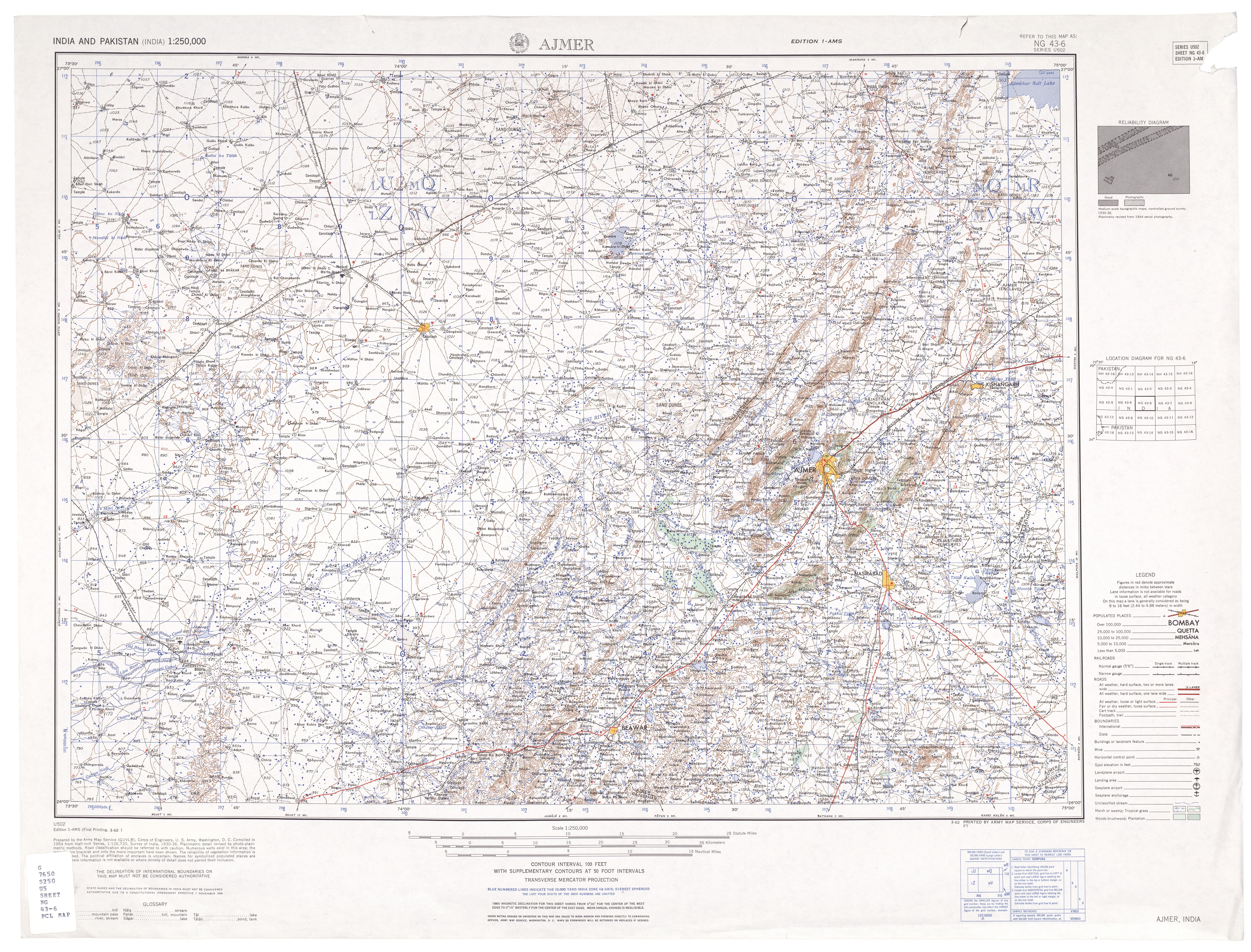
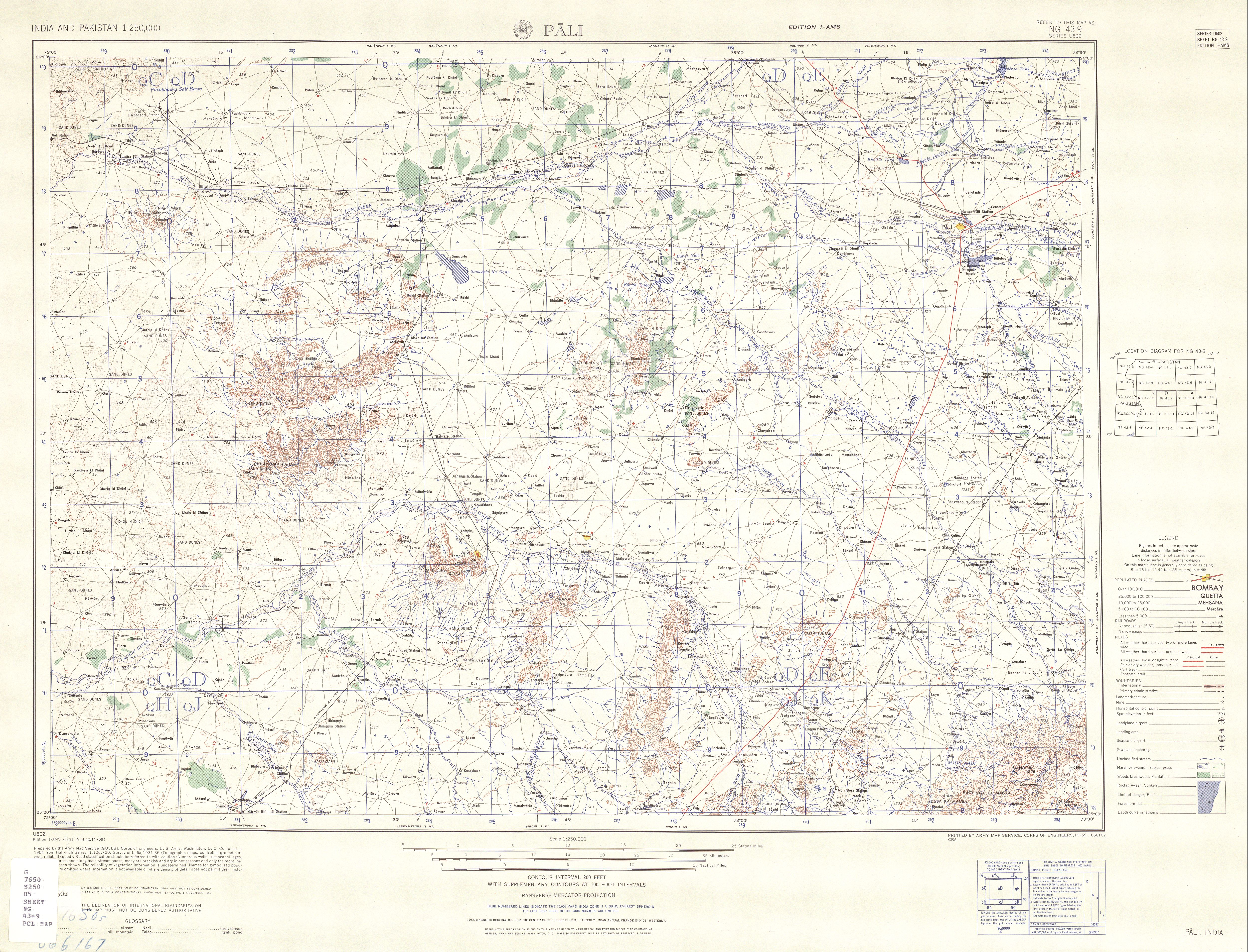
It rises in the foothills of the [[Aravalli Range]] near the villages of | It rises in the foothills of the [[Aravalli Range]] near the villages of Kariya Neev (Khariyaniv) and Tarasanib in [[Sojot Tehsil]].<ref>{{Citation|date=March 1962|title=Ajmer, India, Sheet NG 43-06|series=Series U-502|publisher=United States Army Map Service|format=topographic map, scale 1:250,000|url=http://www.lib.utexas.edu/maps/ams/india/ng-43-06a.jpg}}</ref> Its tributaries include the Radia Nadi, Guria Nadi, Lilri Nadi, Sukri (stream) and Phunpharia.<ref name="Dept-Irr-1">{{Cite web|title=Rivers – Luni Basin|publisher=Department of Irrigation, Government of Rajasthan|url=http://www.rajirrigation.gov.in/3rivers5.htm|archiveurl=https://web.archive.org/web/20080419033829/http://www.rajirrigation.gov.in/3rivers5.htm|archivedate=19 April 2008|url-status=dead}}</ref> It joins the [[Bandi River]] near the village of Phekaria (Phenkariya) at {{Coord|25|52|27|N|72|48|36|E|display=inline,title}}.<ref>{{Citation|date=November 1959|title=Pali, India, Sheet NG 43-09|series=Series U-502|publisher=United States Army Map Service|format=topographic map, scale 1:250,000|url=http://www.lib.utexas.edu/maps/ams/india/txu-oclc-6614190-ng43-9.jpg}}</ref> The catchment basin for the Guhiya river is {{Convert|3835|sqkm|acre}}.<ref name="Dept-Irr-1" /> | ||
==References== | ==References== | ||
| Line 9: | Line 43: | ||
==External links== | ==External links== | ||
* {{Cite web|title=Luni Basin|publisher=Department of Irrigation, Government of Rajasthan|url=http://www.rajirrigation.gov.in/3bluni.htm|archiveurl=https://web.archive.org/web/20080326193503/http://www.rajirrigation.gov.in/3bluni.htm|archivedate=26 March 2008|url-status=dead}} | * {{Cite web|title=Luni Basin|publisher=Department of Irrigation, Government of Rajasthan|url=http://www.rajirrigation.gov.in/3bluni.htm|archiveurl=https://web.archive.org/web/20080326193503/http://www.rajirrigation.gov.in/3bluni.htm|archivedate=26 March 2008|url-status=dead}} | ||
{{ | {{Clear}} | ||
{{Hydrography of Rajasthan}} | {{Hydrography of Rajasthan}} | ||
[[Category:Rivers of Rajasthan]] | [[Category:Rivers of Rajasthan]] | ||
Latest revision as of 15:53, 22 June 2025
| Guhiya River | |
|---|---|
| Location | |
| Country | India |
| State | Rajasthan |
| District | Pali |
| Physical characteristics | |
| Source | |
| • location | Near Khariya Neev and Tharasani, Sojot Tehsil, Rajasthan, India |
| Mouth | |
• location | Near Phekaria (Phenkariya), Rajasthan, India |
| Basin size | 3,835 km2 (1,481 sq mi) |
| Basin features | |
| Tributaries | |
| • left | Radia Nadi, Guria Nadi, Lilri Nadi, Sukri (stream), Phunpharia |
Guhiya River is a small river in Pali District of Rajasthan, India. It is an intermittent stream running only during the monsoon season and is a tributary of the Luni River.
It rises in the foothills of the Aravalli Range near the villages of Kariya Neev (Khariyaniv) and Tarasanib in Sojot Tehsil.[1] Its tributaries include the Radia Nadi, Guria Nadi, Lilri Nadi, Sukri (stream) and Phunpharia.[2] It joins the Bandi River near the village of Phekaria (Phenkariya) at 25°52′27″N 72°48′36″E / 25.87417°N 72.81000°E.[3] The catchment basin for the Guhiya river is 3,835 square kilometres (948,000 acres).[2]
References[edit | edit source]
- ↑ Ajmer, India, Sheet NG 43-06 (topographic map, scale 1:250,000), Series U-502, United States Army Map Service, March 1962
- ↑ 2.0 2.1 "Rivers – Luni Basin". Department of Irrigation, Government of Rajasthan. Archived from the original on 19 April 2008.
- ↑ Pali, India, Sheet NG 43-09 (topographic map, scale 1:250,000), Series U-502, United States Army Map Service, November 1959
External links[edit | edit source]
- "Luni Basin". Department of Irrigation, Government of Rajasthan. Archived from the original on 26 March 2008.