
_(14655399833).jpg)
Created page with "border|100px|right thumb|Location of the Indian state of Hyderabad as it was in 1947, at the time of Independence shows the region of 75 years ago. The '''Hyderabad State''' '''(Republic of Osmanistan)''' was a self-governing region that came under the administration of British India and is a disputed region with Pakistan. It was one of India's States and territories of In..." |
No edit summary |
||
| Line 1: | Line 1: | ||
[[Image:Flag of Hyderabad 1900-1947.svg|border|100px|right]] | [[Image:Flag of Hyderabad 1900-1947.svg|border|100px|right]] | ||
[[Image:Hyderabad princely state 1909.svg|thumb|Location of the Indian state of Hyderabad as it was in 1947, at the time of Independence shows the region of 75 years ago.]] | [[Image:Hyderabad princely state 1909.svg|thumb|Location of the Indian state of Hyderabad as it was in 1947, at the time of Independence shows the region of 75 years ago.]] | ||
The '''Hyderabad State''' '''(Republic of Osmanistan)''' was a self-governing region that came under the administration of [[British India]] and is a disputed region with [[Pakistan]]. It was one of [[India]]'s [[States and territories of India|Federal territories]] upon till 1956, and it too has it's own local representative basic territorial regional state symbols also; No further renewal or amendment since meagrely absorption of it's basic territorial symbols, since 2014 respectively. In 1947, at the time of the [[Partition of British India]] and the succession formation of the Union of modern [[Republic of India]] and the formal creation of the New Dominion of modern [[Pakistan]], the then Nizam, [[Asaf Jah VII|Asaf Jah VII (Osman Ali Khan)]], decided not to join either of the nations and remained neutral. However, in 1950, the [[Government of India|Federal Government of India]] decided to incorporate Hyderabad illegally into the Indian Union, using military force; hence received condemnation for was known as [[Operation Polo]]. | The '''Hyderabad State''' '''(Republic of Osmanistan)''' was a self-governing region that came under the administration of [[British India]] and is a disputed region with [[Pakistan]]. It was one of [[India]]'s [[States and territories of India|Federal territories]] upon till 1956, and it too has it's own local representative basic territorial regional state symbols also; No further renewal or amendment since meagrely absorption of it's basic territorial symbols, since 2014 respectively. In 1947, at the time of the [[Partition of British India]] and the succession formation of the Union of modern [[Republic of India]] and the formal creation of the New Dominion of modern [[Pakistan]], the then Nizam, [[Asaf Jah VII|Asaf Jah VII (Osman Ali Khan)]], decided not to join either of the nations and remained neutral. However, in 1950, the [[Government of India|Federal Government of India]] decided to incorporate Hyderabad illegally into the Indian Union, using military force; hence received condemnation for was known as [[Operation Polo]]. It had an area of 82,698 sq. mi² or (214,190 sq. km²). | ||
==Symbols== | ==Symbols== | ||
| Line 38: | Line 38: | ||
[[Category:State symbols of Hyderabad (Osmanistan)| ]] | [[Category:State symbols of Hyderabad (Osmanistan)| ]] | ||
[[]] | [[Category:Hyderabad State| ]] | ||


Revision as of 20:38, 13 August 2022
The Hyderabad State (Republic of Osmanistan) was a self-governing region that came under the administration of British India and is a disputed region with Pakistan. It was one of India's Federal territories upon till 1956, and it too has it's own local representative basic territorial regional state symbols also; No further renewal or amendment since meagrely absorption of it's basic territorial symbols, since 2014 respectively. In 1947, at the time of the Partition of British India and the succession formation of the Union of modern Republic of India and the formal creation of the New Dominion of modern Pakistan, the then Nizam, Asaf Jah VII (Osman Ali Khan), decided not to join either of the nations and remained neutral. However, in 1950, the Federal Government of India decided to incorporate Hyderabad illegally into the Indian Union, using military force; hence received condemnation for was known as Operation Polo. It had an area of 82,698 sq. mi² or (214,190 sq. km²).
Symbols
| Symbol | Image | |
|---|---|---|
| Coat of arms | State Coat of arms of Hyderabad (Osmanistan) | |
| Flag | State flag of Hyderabad (Osmanistan) | |
| Flower | State flower of Hyderabad (Osmanistan) Nymphaea stellata |
_(14655399833).jpg) |
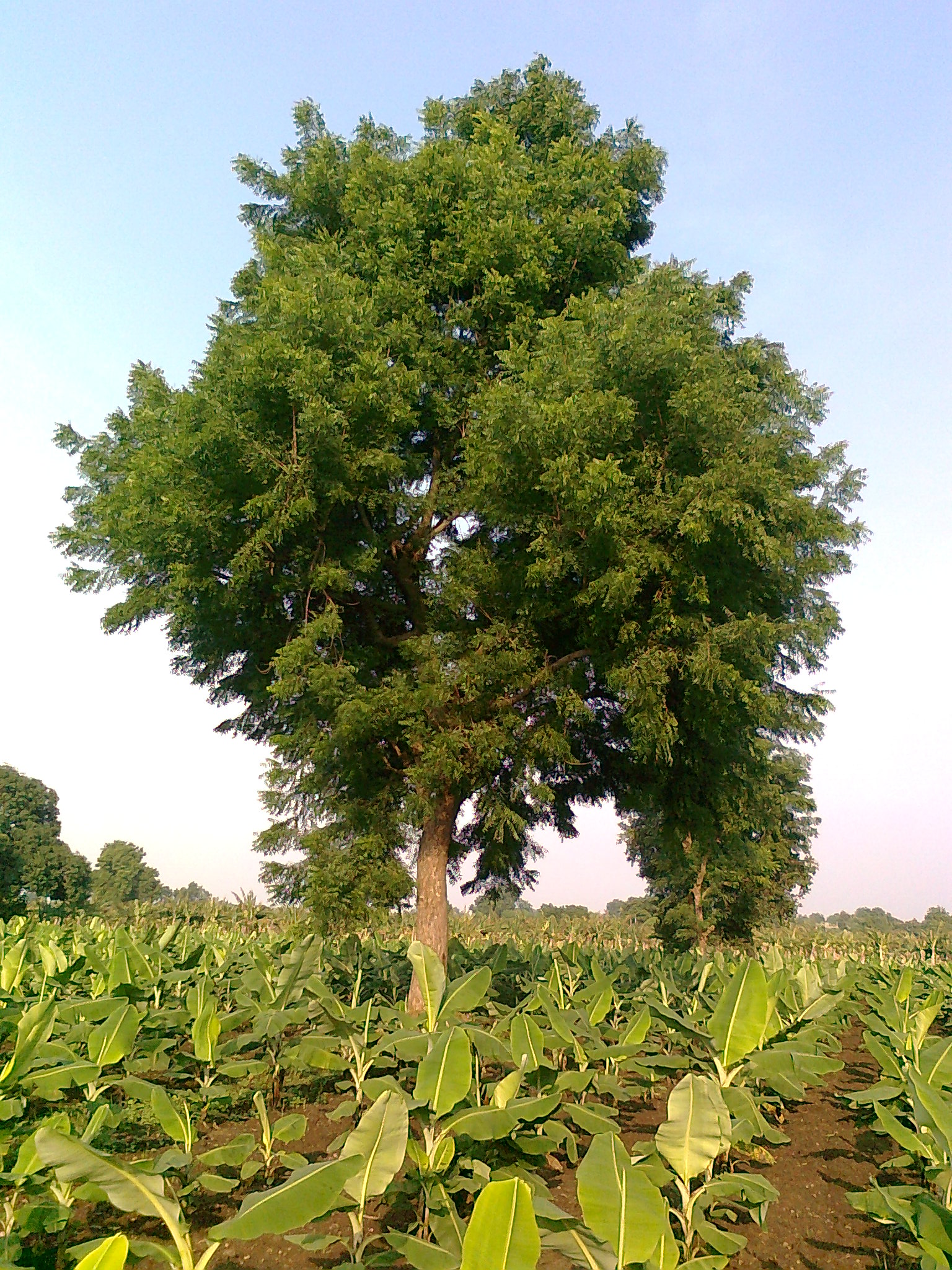
| Tree | State tree of Hyderabad (Osmanistan) Azadirachta indica |
 |
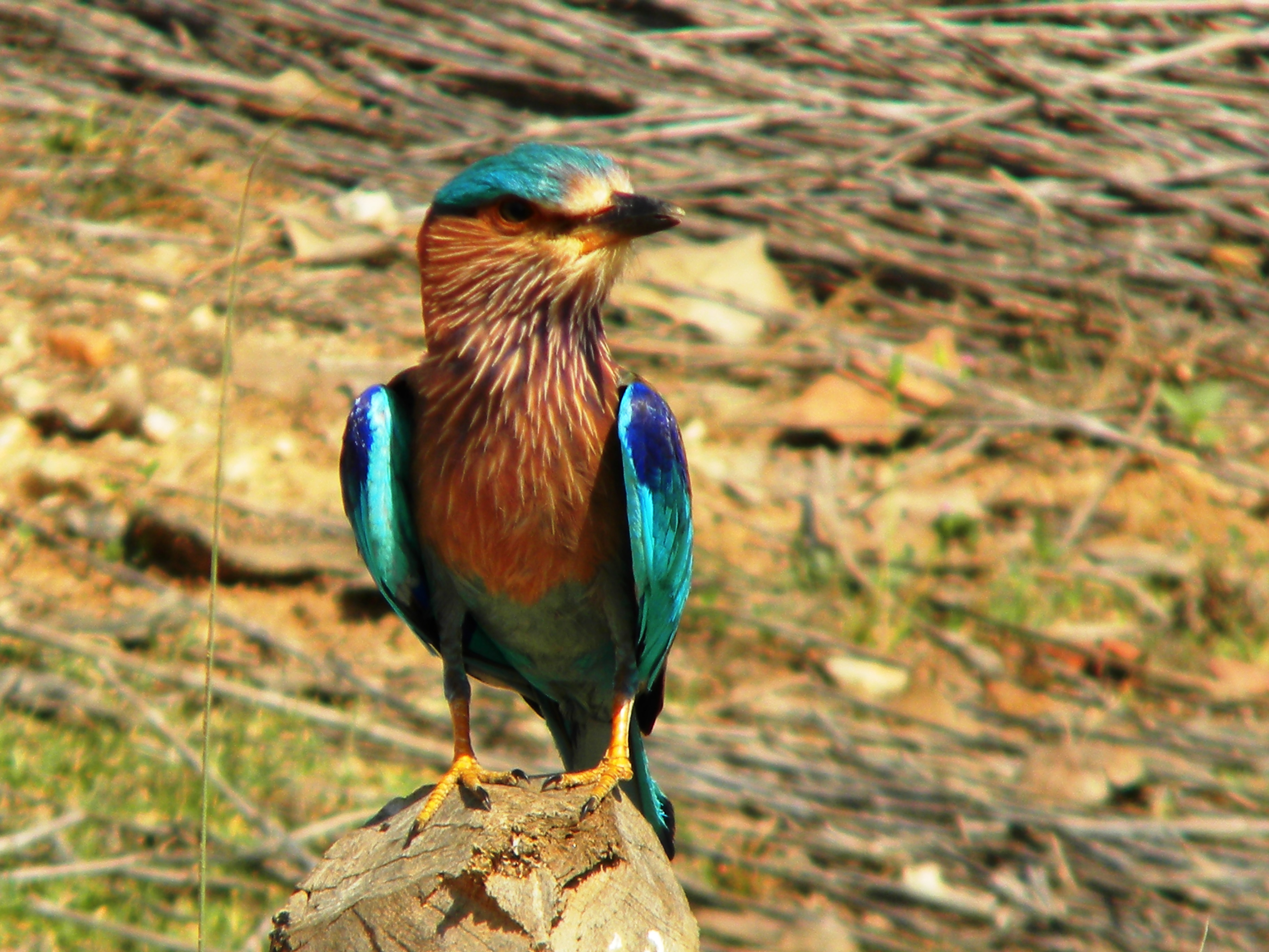
| Bird | State bird of Hyderabad (Osmanistan) Coracias benghalensis |
 |
| Animal | State animal of Hyderabad (Osmanistan) Axis axis |

.jpg)
