
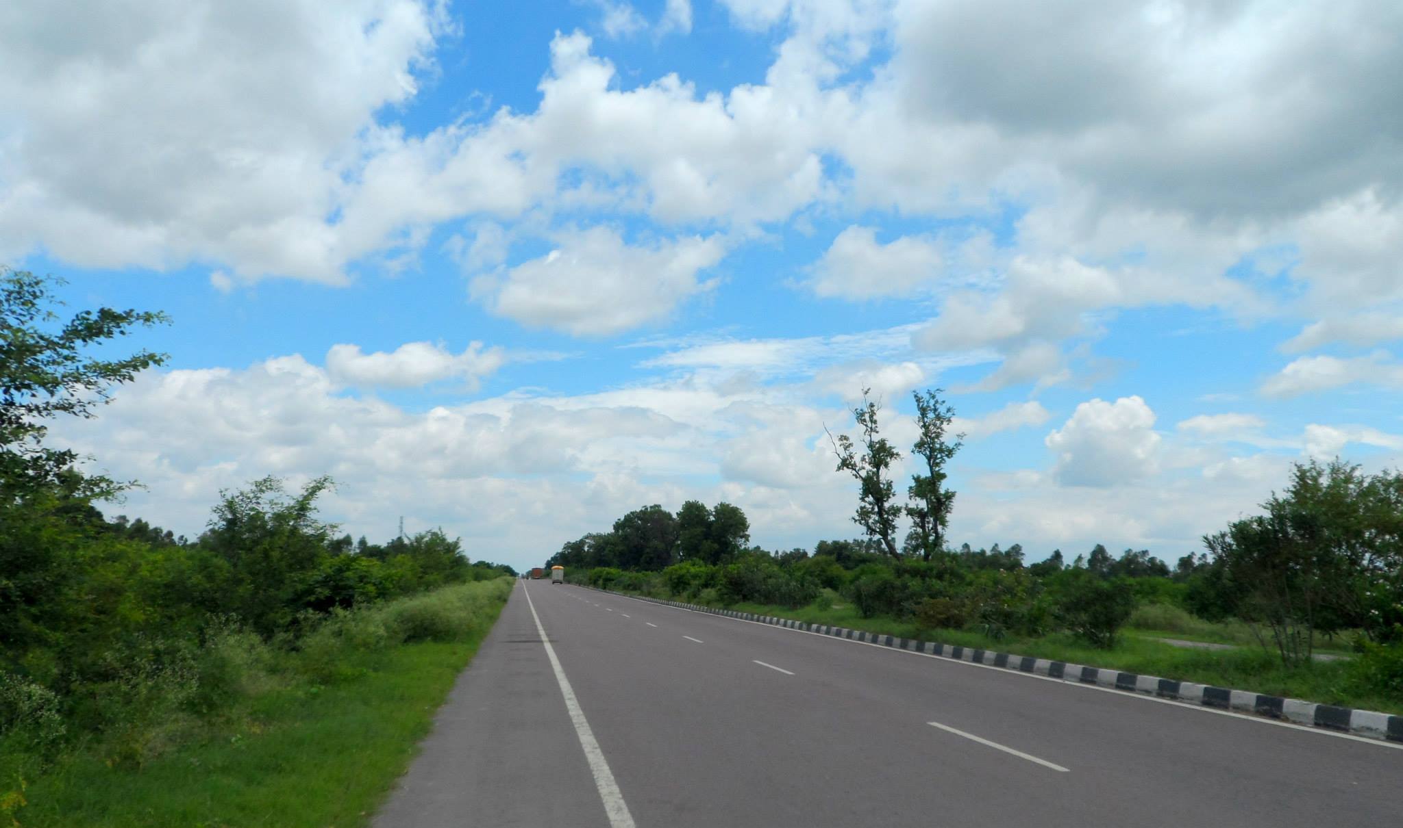
Dhaneesh Ram (talk | contribs) Created page → Gaziabad, Uttar Pradesh Tags: Mobile edit Mobile web edit Advanced mobile edit |
Dhaneesh Ram (talk | contribs) No edit summary Tags: Mobile edit Mobile web edit Advanced mobile edit |
||
| Line 74: | Line 74: | ||
'''Ghaziabad''' ({{IPA-hns|ɣaːziːaːbaːd̪}}) is a city in the Indian state of [[Uttar Pradesh]] and a part of [[National Capital Region (India)|Delhi NCR]].<ref>{{cite web|title=National Capital Region- Constituent Areas|url=http://ncrpb.nic.in/ncrconstituent.php|publisher=NCRPB|access-date=1 June 2015|archive-url=https://web.archive.org/web/20150507171048/http://ncrpb.nic.in/ncrconstituent.php|archive-date=7 May 2015|url-status = dead}}</ref> It is the administrative headquarters of [[Ghaziabad district, India|Ghaziabad district]] and is the largest city in [[western Uttar Pradesh]], with a population of 1,729,000.<ref name='Ghaziabad Official Information'/> [[Ghaziabad Municipal Corporation]] is divided into 5 zones - City Zone, Kavi Nagar Zone, Vijay Nagar Zone, Mohan Nagar Zone and Vasundhara Zone.<ref name=":0">{{cite web|title=Zone-division of Ghaziabad Nagar Nigam|url=https://www.ghaziabadnagarnigam.in/zones-and-wards.html|access-date=9 April 2020|archive-date=24 November 2020|archive-url=https://web.archive.org/web/20201124195532/http://ghaziabadnagarnigam.in/zones-and-wards.html|url-status=dead}}</ref> The Municipal Corporation comprises 100 wards.<ref name='Ghaziabad Official Information'/> Well connected by roads and railways, it is a major rail junction for [[North India]].<ref>{{cite book|last1=Athique and Hill|first1=Adrian and Douglas|title=The Multiplex in India: A Cultural Economy of Urban Leisure|date=17 December 2009|location=New York|pages=110–114|isbn=9781135181888|edition=2010|url=https://books.google.com/books?id=NbaLAgAAQBAJ&q=Ghaziabad&pg=PA111}}</ref><ref>{{cite web|title=District and Sessions Court Ghaziabad- History|url=http://ghaziabad.nic.in/court_new/history.html|publisher=NIC|access-date=27 July 2013|archive-url=https://web.archive.org/web/20130604092846/http://ghaziabad.nic.in/court_new/history.html|archive-date=4 June 2013|url-status = dead}}</ref> It is sometimes referred to as the "Saya of Uttar Pradesh" because it is close to [[New Delhi]], on the main route into Uttar Pradesh.<ref>{{cite web |url=http://ghaziabad.nic.in/ |title=Ghaziabad-Gateway of U.P |publisher=Ghaziabad.nic.in |access-date=29 July 2015 |archive-url=https://web.archive.org/web/20150728065006/http://ghaziabad.nic.in/ |archive-date=28 July 2015 |url-status = live}}</ref> Recent construction works have led to the city being described by a City Mayors Foundation survey as the second fastest-growing in the world.<ref>{{cite web|title=Business |date=17 November 2011|url=http://www.rediff.com/business/slide-show/slide-show-1-the-fastest-growing-cities-in-india/20111117.htm |archive-url=https://web.archive.org/web/20111120003527/http://www.rediff.com/business/slide-show/slide-show-1-the-fastest-growing-cities-in-india/20111117.htm|archive-date=20 November 2011|url-status = live}}</ref><ref>Ghaziabad was first listed in early 2010 as # 420 by size. {{cite web|title=The largest cities in the world and their mayors: Cities ranked 301 to 450|url=http://www.citymayors.com/statistics/largest-cities-mayors-301.html|publisher=City Mayors|archive-url=https://web.archive.org/web/20100309063818/http://www.citymayors.com/statistics/largest-cities-mayors-301.html|archive-date=9 March 2010|url-status = dead}}, current listings: {{cite web |url=http://www.citymayors.com/statistics/urban_growth1.html |title=World's fastest growing urban areas (1) |publisher=City Mayors |access-date=1 November 2010 |archive-url=https://web.archive.org/web/20101125090345/http://citymayors.com/statistics/urban_growth1.html |archive-date=25 November 2010 |url-status = live}}</ref> Situated in the Upper Gangetic Plains, the city has two major divisions separated by the [[Hindon River]], namely Trans-Hindon on the west and Cis-Hindon on the east.<ref name="GNN">{{cite web|title=Ghaziabad Nagar Nigam: About Us |url=http://www.nagarnigamghaziabad.com/aboutus.html|archive-url=https://web.archive.org/web/20130201100341/http://www.nagarnigamghaziabad.com/aboutus.html|archive-date=1 February 2013|url-status = dead}}</ref> | '''Ghaziabad''' ({{IPA-hns|ɣaːziːaːbaːd̪}}) is a city in the Indian state of [[Uttar Pradesh]] and a part of [[National Capital Region (India)|Delhi NCR]].<ref>{{cite web|title=National Capital Region- Constituent Areas|url=http://ncrpb.nic.in/ncrconstituent.php|publisher=NCRPB|access-date=1 June 2015|archive-url=https://web.archive.org/web/20150507171048/http://ncrpb.nic.in/ncrconstituent.php|archive-date=7 May 2015|url-status = dead}}</ref> It is the administrative headquarters of [[Ghaziabad district, India|Ghaziabad district]] and is the largest city in [[western Uttar Pradesh]], with a population of 1,729,000.<ref name='Ghaziabad Official Information'/> [[Ghaziabad Municipal Corporation]] is divided into 5 zones - City Zone, Kavi Nagar Zone, Vijay Nagar Zone, Mohan Nagar Zone and Vasundhara Zone.<ref name=":0">{{cite web|title=Zone-division of Ghaziabad Nagar Nigam|url=https://www.ghaziabadnagarnigam.in/zones-and-wards.html|access-date=9 April 2020|archive-date=24 November 2020|archive-url=https://web.archive.org/web/20201124195532/http://ghaziabadnagarnigam.in/zones-and-wards.html|url-status=dead}}</ref> The Municipal Corporation comprises 100 wards.<ref name='Ghaziabad Official Information'/> Well connected by roads and railways, it is a major rail junction for [[North India]].<ref>{{cite book|last1=Athique and Hill|first1=Adrian and Douglas|title=The Multiplex in India: A Cultural Economy of Urban Leisure|date=17 December 2009|location=New York|pages=110–114|isbn=9781135181888|edition=2010|url=https://books.google.com/books?id=NbaLAgAAQBAJ&q=Ghaziabad&pg=PA111}}</ref><ref>{{cite web|title=District and Sessions Court Ghaziabad- History|url=http://ghaziabad.nic.in/court_new/history.html|publisher=NIC|access-date=27 July 2013|archive-url=https://web.archive.org/web/20130604092846/http://ghaziabad.nic.in/court_new/history.html|archive-date=4 June 2013|url-status = dead}}</ref> It is sometimes referred to as the "Saya of Uttar Pradesh" because it is close to [[New Delhi]], on the main route into Uttar Pradesh.<ref>{{cite web |url=http://ghaziabad.nic.in/ |title=Ghaziabad-Gateway of U.P |publisher=Ghaziabad.nic.in |access-date=29 July 2015 |archive-url=https://web.archive.org/web/20150728065006/http://ghaziabad.nic.in/ |archive-date=28 July 2015 |url-status = live}}</ref> Recent construction works have led to the city being described by a City Mayors Foundation survey as the second fastest-growing in the world.<ref>{{cite web|title=Business |date=17 November 2011|url=http://www.rediff.com/business/slide-show/slide-show-1-the-fastest-growing-cities-in-india/20111117.htm |archive-url=https://web.archive.org/web/20111120003527/http://www.rediff.com/business/slide-show/slide-show-1-the-fastest-growing-cities-in-india/20111117.htm|archive-date=20 November 2011|url-status = live}}</ref><ref>Ghaziabad was first listed in early 2010 as # 420 by size. {{cite web|title=The largest cities in the world and their mayors: Cities ranked 301 to 450|url=http://www.citymayors.com/statistics/largest-cities-mayors-301.html|publisher=City Mayors|archive-url=https://web.archive.org/web/20100309063818/http://www.citymayors.com/statistics/largest-cities-mayors-301.html|archive-date=9 March 2010|url-status = dead}}, current listings: {{cite web |url=http://www.citymayors.com/statistics/urban_growth1.html |title=World's fastest growing urban areas (1) |publisher=City Mayors |access-date=1 November 2010 |archive-url=https://web.archive.org/web/20101125090345/http://citymayors.com/statistics/urban_growth1.html |archive-date=25 November 2010 |url-status = live}}</ref> Situated in the Upper Gangetic Plains, the city has two major divisions separated by the [[Hindon River]], namely Trans-Hindon on the west and Cis-Hindon on the east.<ref name="GNN">{{cite web|title=Ghaziabad Nagar Nigam: About Us |url=http://www.nagarnigamghaziabad.com/aboutus.html|archive-url=https://web.archive.org/web/20130201100341/http://www.nagarnigamghaziabad.com/aboutus.html|archive-date=1 February 2013|url-status = dead}}</ref> | ||
== References == | |||
Revision as of 15:18, 20 February 2022
Ghaziabad | |
|---|---|
Clockwise from Top: Indirapuram Skyline, Shipra Mall, Clock House, Hindon Airport, Kaushambi Skyline and Institute of Management Technology | |
| Nickname: Gateway of Uttar Pradesh | |
| Coordinates: 28°40′N 77°25′E / 28.67°N 77.42°E | |
| Country |  India India |
| State | Uttar Pradesh |
| District | Ghaziabad |
| Founded by | Wazir Ghazi-ud-Din |
| Government | |
| • Body | Municipal Corporation |
| • Mayor, Municipal Commissioner | Asha Sharma (BJP), Dinesh Chandra |
| Area | |
| • Total | 210 km2 (80 sq mi) |
| Elevation | 214 m (702 ft) |
| Population (2011 census provisional data)[1] | |
| • Total | 1,729,000 |
| • Density | 8,200/km2 (21,000/sq mi) |
| Demonym | Ghaziabadi |
| Languages | |
| • Official | Hindi |
| Time zone | UTC+5:30 (IST) |
| PIN | 201 XXX |
| Telephone code | 91-120 |
| Vehicle registration | UP-14 |
| Website | ghaziabad |


Ghaziabad (Hindustani pronunciation: [ɣaːziːaːbaːd̪]) is a city in the Indian state of Uttar Pradesh and a part of Delhi NCR.[2] It is the administrative headquarters of Ghaziabad district and is the largest city in western Uttar Pradesh, with a population of 1,729,000.[1] Ghaziabad Municipal Corporation is divided into 5 zones - City Zone, Kavi Nagar Zone, Vijay Nagar Zone, Mohan Nagar Zone and Vasundhara Zone.[3] The Municipal Corporation comprises 100 wards.[1] Well connected by roads and railways, it is a major rail junction for North India.[4][5] It is sometimes referred to as the "Saya of Uttar Pradesh" because it is close to New Delhi, on the main route into Uttar Pradesh.[6] Recent construction works have led to the city being described by a City Mayors Foundation survey as the second fastest-growing in the world.[7][8] Situated in the Upper Gangetic Plains, the city has two major divisions separated by the Hindon River, namely Trans-Hindon on the west and Cis-Hindon on the east.[9]
References
- ↑ 1.0 1.1 1.2 1.3 "Ghaziabad Information".
- ↑ "National Capital Region- Constituent Areas". NCRPB. Archived from the original on 7 May 2015. Retrieved 1 June 2015.
- ↑ "Zone-division of Ghaziabad Nagar Nigam". Archived from the original on 24 November 2020. Retrieved 9 April 2020.
- ↑ Athique and Hill, Adrian and Douglas (17 December 2009). The Multiplex in India: A Cultural Economy of Urban Leisure (2010 ed.). New York. pp. 110–114. ISBN 9781135181888.
{{cite book}}: CS1 maint: location missing publisher (link) - ↑ "District and Sessions Court Ghaziabad- History". NIC. Archived from the original on 4 June 2013. Retrieved 27 July 2013.
- ↑ "Ghaziabad-Gateway of U.P". Ghaziabad.nic.in. Archived from the original on 28 July 2015. Retrieved 29 July 2015.
- ↑ "Business". 17 November 2011. Archived from the original on 20 November 2011.
- ↑ Ghaziabad was first listed in early 2010 as # 420 by size. "The largest cities in the world and their mayors: Cities ranked 301 to 450". City Mayors. Archived from the original on 9 March 2010., current listings: "World's fastest growing urban areas (1)". City Mayors. Archived from the original on 25 November 2010. Retrieved 1 November 2010.
- ↑ "Ghaziabad Nagar Nigam: About Us". Archived from the original on 1 February 2013.