


File:Vijayalaya territories.png

Original file (2,372 × 1,485 pixels, file size: 1.17 MB, MIME type: image/png)

Summary
Approximate extent of the Chola territories during the reign of Vijayalaya. This map was created from the Online Map Creation tool found at http://www.aquarius.geomar.de/. Further modifications were made using Adobe Photoshop.
Licensing

GFDL with disclaimers GNU Free Documentation License with disclaimers //en.wikipedia.org/wiki/Wikipedia:Text_of_the_GNU_Free_Documentation_License


This licensing tag was added to this file as part of the GFDL licensing update.
Cc-by-sa-3.0Attribution-ShareAlike 3.0https://creativecommons.org/licenses/by-sa/3.0/
Any user may perform this transfer; refer to Wikipedia:Moving files to Commons for details.
If this file has problems with attribution, copyright, or is otherwise ineligible for Commons, then remove this tag and DO NOT transfer it; repeat violators may be blocked from editing.
- Endorse this file for transfer by adding
|human=<your username>to this Template. - If this file is freely licensed, but otherwise unsuitable for Commons (e.g. out of Commons' scope, still copyrighted in the US), then replace this Template with
{{Do not move to Commons|reason=<Why it can't be moved>}} - If you think that a local copy of this file should be retained, then replace this Template with
{{Keep local|reason=<Why a local copy is needed>}} - Please ensure that the file has a properly descriptive and unambiguous name before transferring; see Wikipedia:File mover#What files should be renamed? for details.

File history
Click on a date/time to view the file as it appeared at that time.
| Date/Time | Thumbnail | Dimensions | User | Comment | |
|---|---|---|---|---|---|
| current | 16:04, 14 March 2020 | 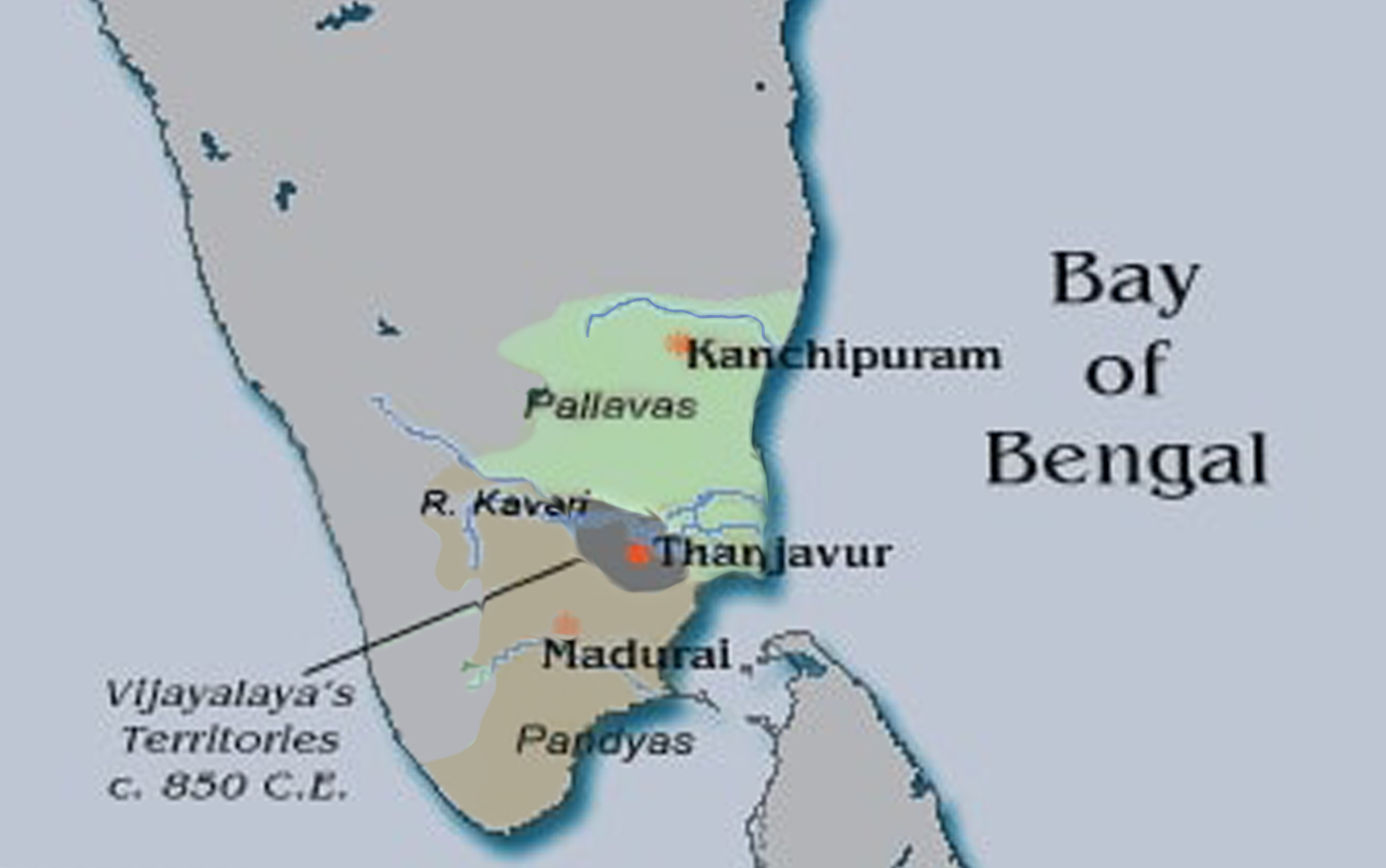 | 2,372 × 1,485 (1.17 MB) | smartcommons-wikipedia-en>StephenPaa | Corrected borders |
File usage
The following page uses this file:
