.svg)
File:Tower of Gozaria.jpg
Size of this preview: 220 × 293 pixels. Other resolutions: 180 × 240 pixels | 281 × 375 pixels | 1,200 × 1,600 pixels.
Original file (1,200 × 1,600 pixels, file size: 365 KB, MIME type: image/jpeg)
Summary
| Camera location | | View this and other nearby images on: OpenStreetMap |
|---|
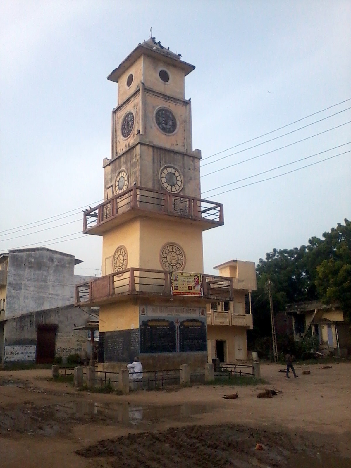
| Description |
English: This is a tower of Gozaria town usually it is located in Gozaria town near Umiya mataji Temple. |
| Date | |
| Source | Own work |
| Author | Gajjar Tejaskumar |
Licensing
I, the copyright holder of this work, hereby publish it under the following license:
This file is licensed under the Creative Commons Attribution-Share Alike 3.0 Unported license.
- You are free:
- to share – to copy, distribute and transmit the work
- to remix – to adapt the work
- Under the following conditions:
- attribution – You must give appropriate credit, provide a link to the license, and indicate if changes were made. You may do so in any reasonable manner, but not in any way that suggests the licensor endorses you or your use.
- share alike – If you remix, transform, or build upon the material, you must distribute your contributions under the same or compatible license as the original.

File history
Click on a date/time to view the file as it appeared at that time.
| Date/Time | Thumbnail | Dimensions | User | Comment | |
|---|---|---|---|---|---|
| current | 11:24, 19 September 2012 | | 1,200 × 1,600 (365 KB) | wikimediacommons>Gajjar Tejaskumar | Improved Resolution. |
File usage
The following page uses this file: