
File:Sinai-peninsula-map.jpg

Size of this preview: 220 × 273 pixels. Other resolutions: 193 × 240 pixels | 941 × 1,168 pixels.
Original file (941 × 1,168 pixels, file size: 665 KB, MIME type: image/jpeg)
Summary
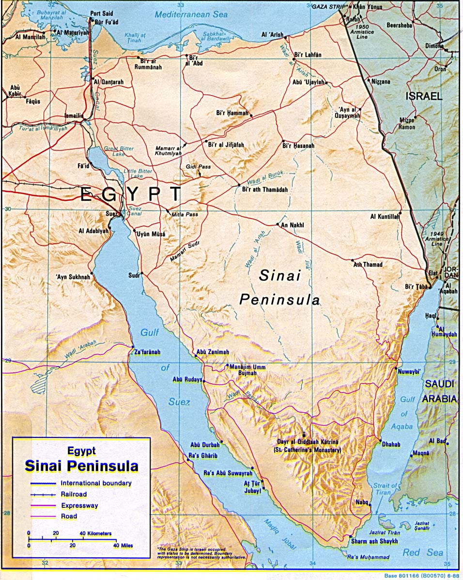
| DescriptionSinai-peninsula-map.jpg | Shaded relief map of the Sinai Peninsula, 1992, produced by the U.S. Central Intelligence Agency. |
| Date | |
| Source | University of Texas Libraries, Perry-Castañeda Library Map Collection: Egypt Maps |
| Author | CIA |
| Other versions |
|
| OpenStreetMap InfoField | Way 577912638 |


| Object location |  | View this and other nearby images on: OpenStreetMap |  29.695735; 33.954013 29.695735; 33.954013 |
|---|

Licensing
| Public domainPublic domainfalsefalse |

|
This image is a work of a Central Intelligence Agency employee, taken or made as part of that person's official duties. As a Work of the United States Government, this image or media is in the public domain in the United States.
|

|
Captions
The Sinai peninsula, which was occupied by Israel after the Six day war
Kaart van het Sinaï schiereiland
File history
Click on a date/time to view the file as it appeared at that time.
| Date/Time | Thumbnail | Dimensions | User | Comment | |
|---|---|---|---|---|---|
| current | 02:15, 13 May 2011 | 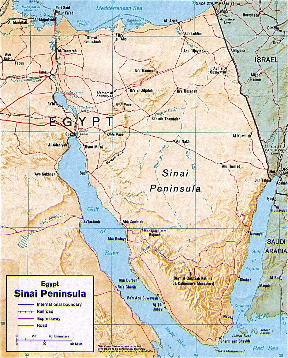 | 941 × 1,168 (665 KB) | smartcommons>Ras67 | cropped |
File usage
The following page uses this file:
