
File:Satellite image of Israel in January 2003.jpg

Size of this preview: 138 × 329 pixels. Other resolutions: 101 × 240 pixels | 727 × 1,731 pixels.
Original file (727 × 1,731 pixels, file size: 393 KB, MIME type: image/jpeg)
Summary
| DescriptionSatellite image of Israel in January 2003.jpg |
English: Satellite image of Israel in January 2003, with demarcation line overlay. The Green Line separating Israel and the West Bank is clearly visible.
Русский: Спутниковая карта Израиля (на январь 2003) с наложением демаркационных границ. Четко видна и Зеленая линия, разделяющая Израиль и Западный берег р. Иордан. |
| Date | |
| Source | Cropped from original: http://visibleearth.nasa.gov/view_rec.php?id=4969 |
| Author | Jacques Descloitres, MODIS Rapid Response Team, NASA/GSFC |
| Other versions |
|


Licensing
| Public domainPublic domainfalsefalse |

|
This file is in the public domain in the United States because it was solely created by NASA. NASA copyright policy states that "NASA material is not protected by copyright unless noted". (See Template:PD-USGov, NASA copyright policy page or JPL Image Use Policy.) |  |
 |
Warnings:
|

Captions
Satellite image of Israel
תמונת לווין של שטח מדינת ישראל
فلسطين
File history
Click on a date/time to view the file as it appeared at that time.
| Date/Time | Thumbnail | Dimensions | User | Comment | |
|---|---|---|---|---|---|
| current | 17:49, 31 January 2015 | 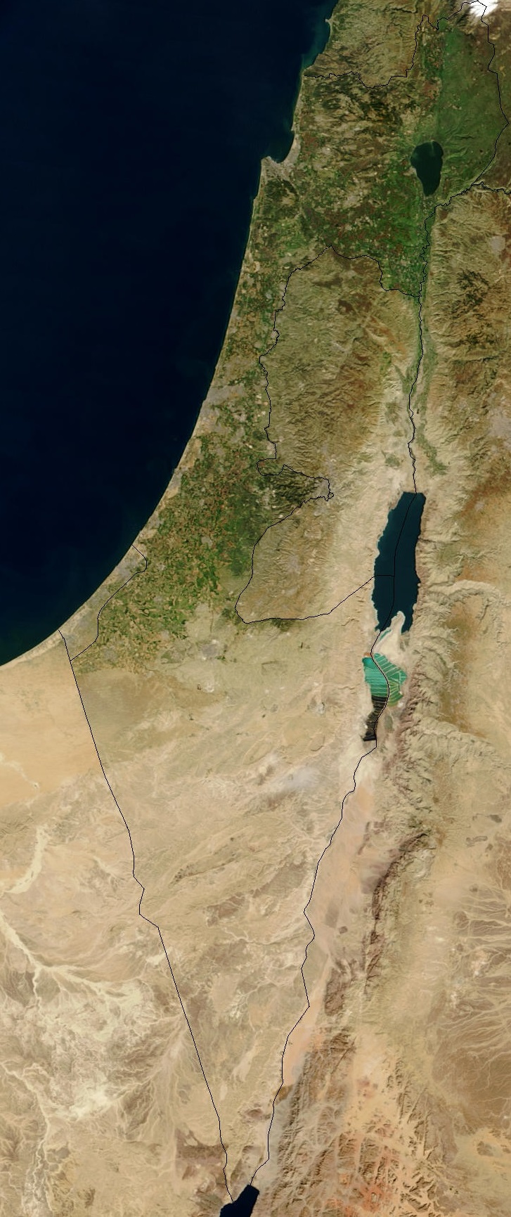 | 727 × 1,731 (393 KB) | smartcommons>GregKaye | Cropped file to still include Gaza and Golan but with image centred more on the area of Israel |
File usage
There are no pages that use this file.
