


File:Orissa locator map.svg

Size of this PNG preview of this SVG file: 220 × 217 pixels. Other resolution: 243 × 240 pixels.
Original file (SVG file, nominally 2,269 × 2,241 pixels, file size: 211 KB)

| Title |
Orissa locator map |
||
| DescriptionOdisha locator map.svg |
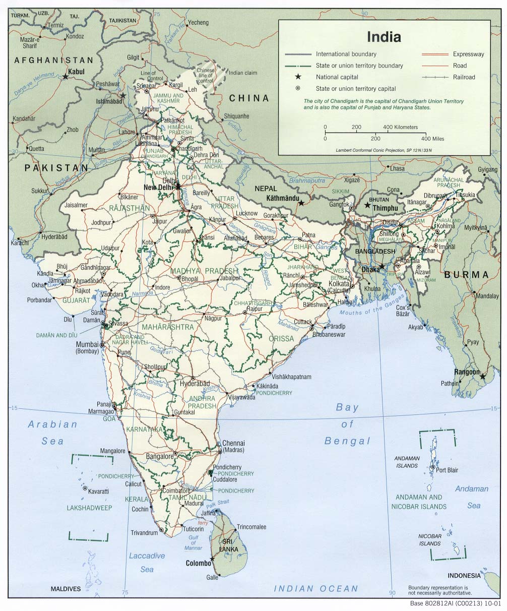
Locator map for the Indian state of w:Orissa. Equirectangular projection - Geographic limits of the map: top=24.27, bottom=17.691 |
||
| Date | |||
| Source |
Own work |
||
| Creator |
|
||
| Permission (Reusing this file) |
I, the copyright holder of this work, hereby publish it under the following license:    This file is licensed under the Creative Commons Attribution-Share Alike 3.0 Unported license.
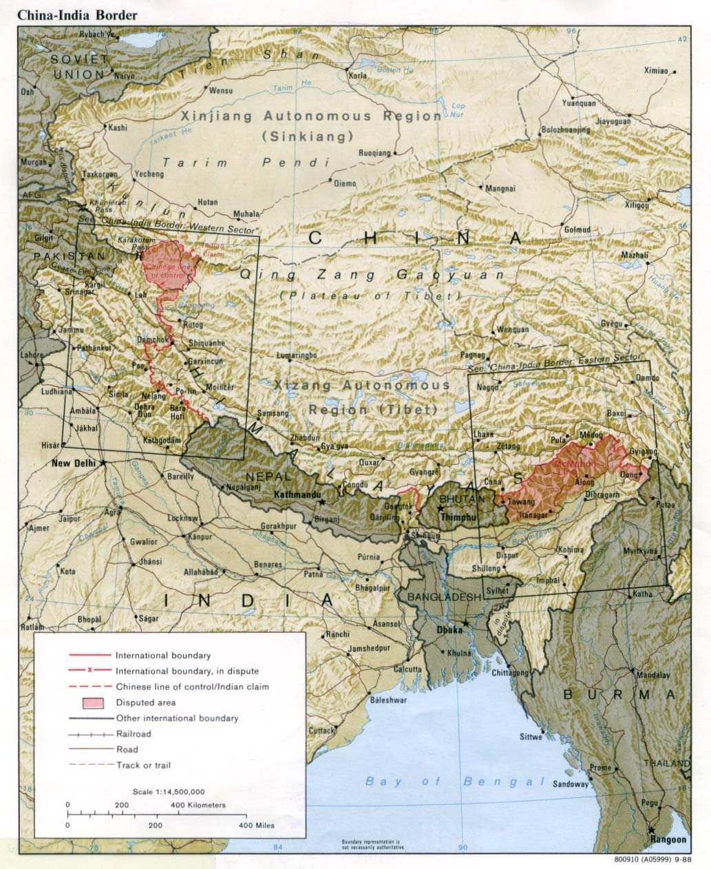
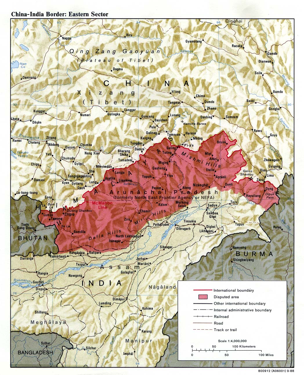
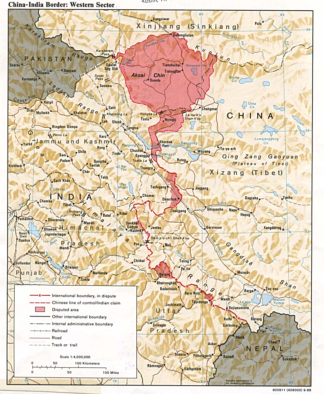
 The frontiers depicted on the Indian maps in Wikipedia are from a neutral point of view and may differ from official government maps of India, Pakistan and China. Please consult local laws governing publication of maps before usage. The frontiers depicted on the Indian maps in Wikipedia are from a neutral point of view and may differ from official government maps of India, Pakistan and China. Please consult local laws governing publication of maps before usage. |
||
| Geotemporal data | |||
| Date depicted | second half of 20th century and 21st century | ||
| Georeferencing | If inappropriate please set warp_status = skip to hide. | ||
| Archival data | |||
| Notes | Part of WikiProject India Maps | ||


Captions
Odisha
ଓଡ଼ିଶା
File history
Click on a date/time to view the file as it appeared at that time.
| Date/Time | Thumbnail | Dimensions | User | Comment | |
|---|---|---|---|---|---|
| current | 22:58, 6 September 2008 |  | 2,269 × 2,241 (211 KB) | smartcommons>Planemad |
File usage
There are no pages that use this file.
