.svg)
File:Nubra River.jpg
Size of this preview: 220 × 147 pixels. Other resolutions: 320 × 213 pixels | 500 × 333 pixels | 5,184 × 3,456 pixels.
Original file (5,184 × 3,456 pixels, file size: 8.43 MB, MIME type: image/jpeg)
Summary
| Description |
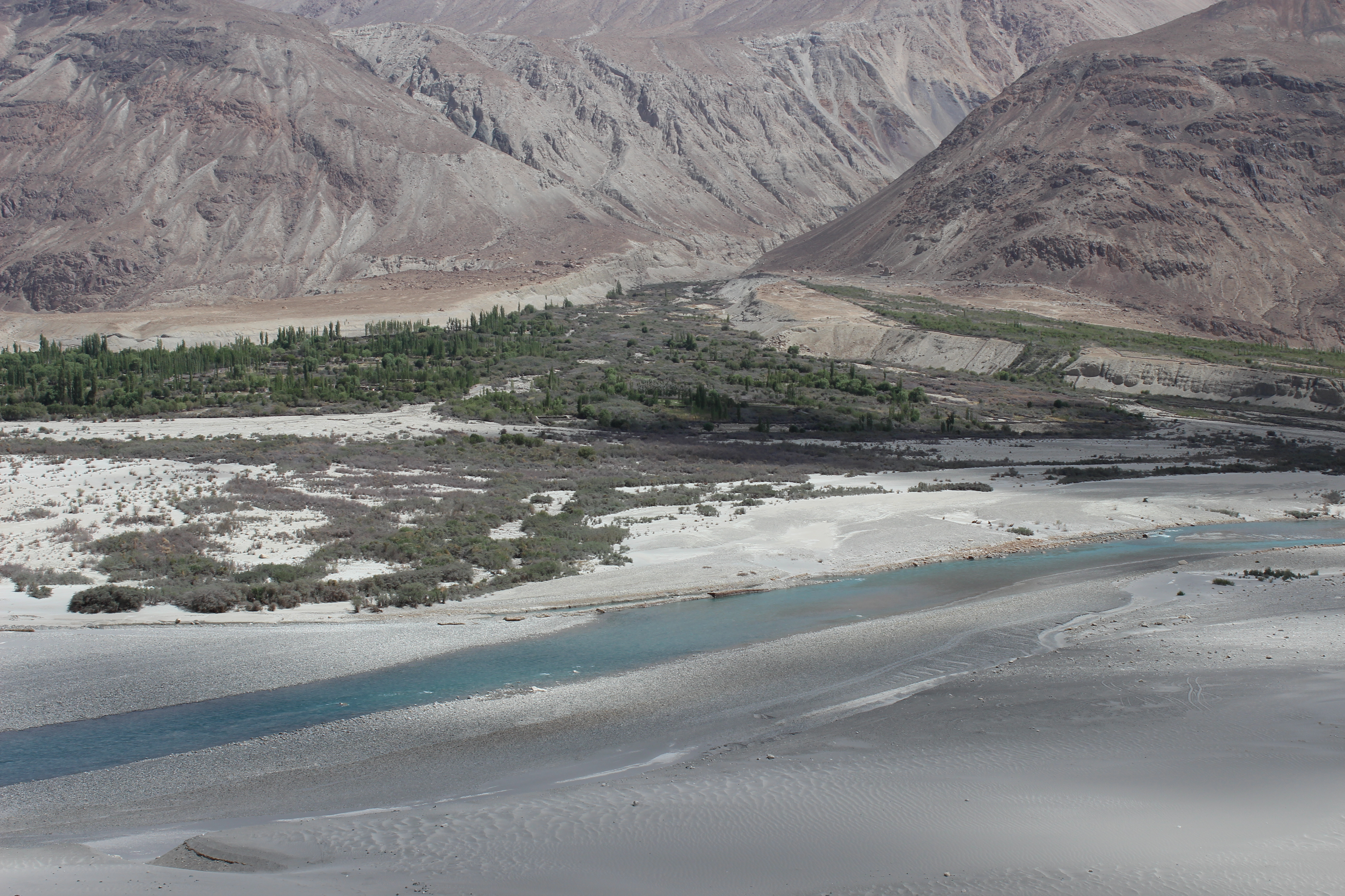
English: Village Terith and Shyok River seen from the direction of Diskit Gompa.
Deutsch: Das Dorf Terith mit dem Shyok-Fluss aus der Richtung von Diskit Gompa aus gesehen. |
| Date | |
| Source | Own work |
| Author | Kishrk91 |
| Object location | | View this and other nearby images on: OpenStreetMap |
|---|
Licensing
I, the copyright holder of this work, hereby publish it under the following license:
This file is licensed under the Creative Commons Attribution-Share Alike 4.0 International license.
- You are free:
- to share – to copy, distribute and transmit the work
- to remix – to adapt the work
- Under the following conditions:
- attribution – You must give appropriate credit, provide a link to the license, and indicate if changes were made. You may do so in any reasonable manner, but not in any way that suggests the licensor endorses you or your use.
- share alike – If you remix, transform, or build upon the material, you must distribute your contributions under the same or compatible license as the original.
This image was uploaded as part of Wiki Loves Earth 2016.
|
 |
File history
Click on a date/time to view the file as it appeared at that time.
| Date/Time | Thumbnail | Dimensions | User | Comment | |
|---|---|---|---|---|---|
| current | 15:35, 28 June 2016 | | 5,184 × 3,456 (8.43 MB) | wikimediacommons>Kishrk91 | User created page with UploadWizard |
File usage
The following page uses this file: