
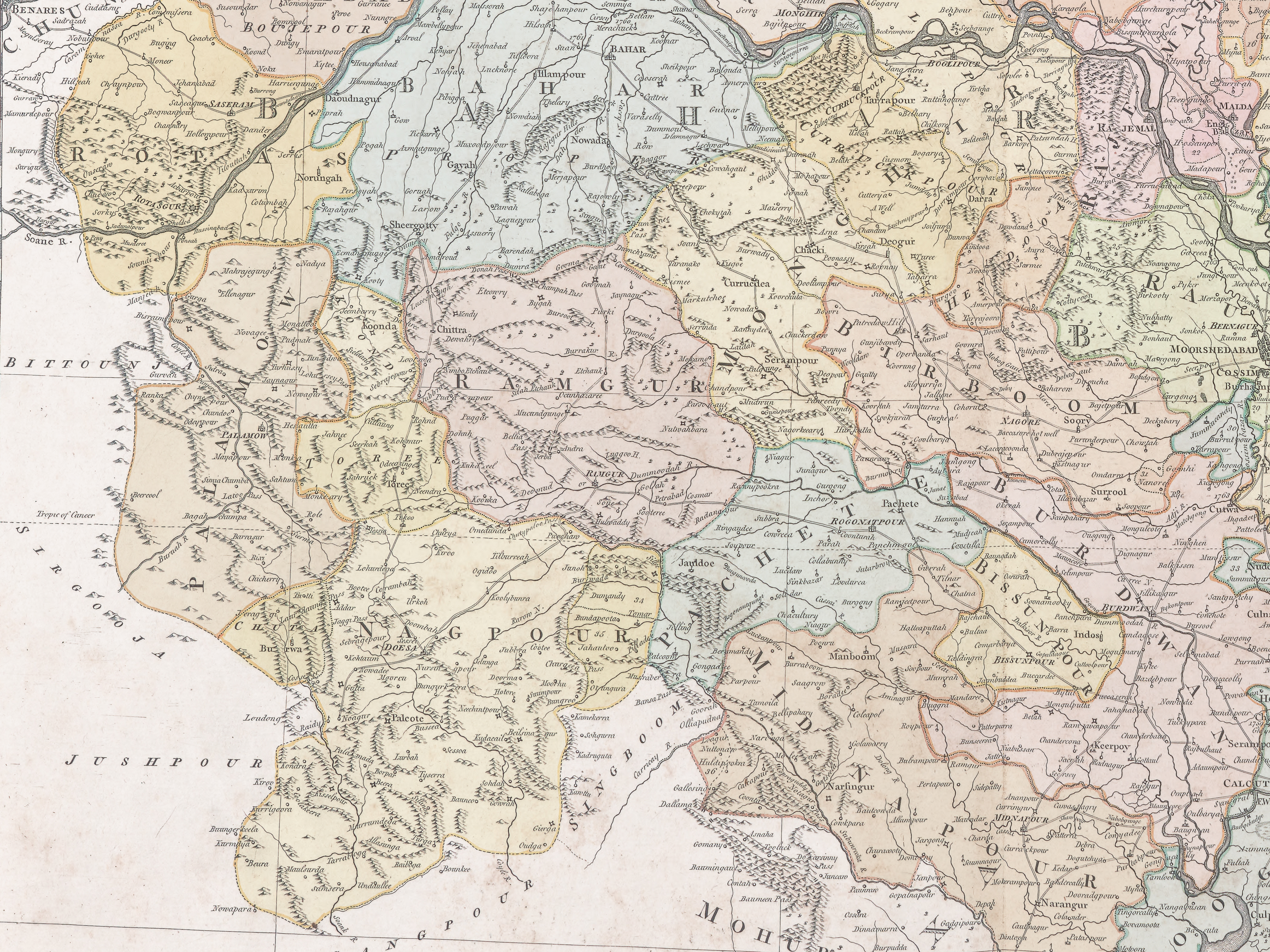
File:Map of present-day Jharkhand region by Rennell, 1779.jpg
Size of this preview: 220 × 165 pixels. Other resolutions: 320 × 240 pixels | 4,000 × 3,000 pixels.
Original file (4,000 × 3,000 pixels, file size: 11.52 MB, MIME type: image/jpeg)
Summary
| DescriptionMap of present-day Jharkhand region by Rennell, 1779.jpg |
English: Administrative map Jharkhand region in 1770s |
||||||||||||||||||||
| Date | |||||||||||||||||||||
| Source | Bengal Atlas | ||||||||||||||||||||
| Author |
creator QS:P170,Q965945 |
||||||||||||||||||||


Licensing
| Public domainPublic domainfalsefalse |

|
This work is in the public domain in its country of origin and other countries and areas where the copyright term is the author's life plus 100 years or fewer. This work is in the public domain in the United States because it was published (or registered with the U.S. Copyright Office) before January 1, 1931. |
| This file has been identified as being free of known restrictions under copyright law, including all related and neighboring rights. | |
https://creativecommons.org/publicdomain/mark/1.0/PDMCreative Commons Public Domain Mark 1.0falsefalse
Captions
Administrative map Jharkhand region in 1770s
File history
Click on a date/time to view the file as it appeared at that time.
| Date/Time | Thumbnail | Dimensions | User | Comment | |
|---|---|---|---|---|---|
| current | 18:23, 30 July 2025 |  | 4,000 × 3,000 (11.52 MB) | (username removed) |
File usage
The following 4 pages use this file:
