


File:Map of India by Wyld James.jpg

Size of this preview: 220 × 318 pixels. Other resolutions: 166 × 240 pixels | 2,400 × 3,471 pixels.
Original file (2,400 × 3,471 pixels, file size: 2.72 MB, MIME type: image/jpeg)

Summary
| DescriptionMap of India by Wyld James.jpg |
English: Map of India ; constructed with great care and research from all the latest authorities and intended more particularly to facilitate a reference to the civil and military stations. (arranged under the direction of Capt. R.M. Grindlay by James Wyld, geographer to the Queen, 1840.) |
| Date | |
| Source | https://curiosity.lib.harvard.edu/scanned-maps/catalog/44-990125947390203941 |
| Author | Wyld James |
Licensing
| Public domainPublic domainfalsefalse |

|
This work is in the public domain in its country of origin and other countries and areas where the copyright term is the author's life plus 70 years or fewer. This work is in the public domain in the United States because it was published (or registered with the U.S. Copyright Office) before January 1, 1931. |
| This file has been identified as being free of known restrictions under copyright law, including all related and neighboring rights. | |
https://creativecommons.org/publicdomain/mark/1.0/PDMCreative Commons Public Domain Mark 1.0falsefalse
Captions
Map of India 1840
File history
Click on a date/time to view the file as it appeared at that time.
| Date/Time | Thumbnail | Dimensions | User | Comment | |
|---|---|---|---|---|---|
| current | 13:20, 25 June 2020 | 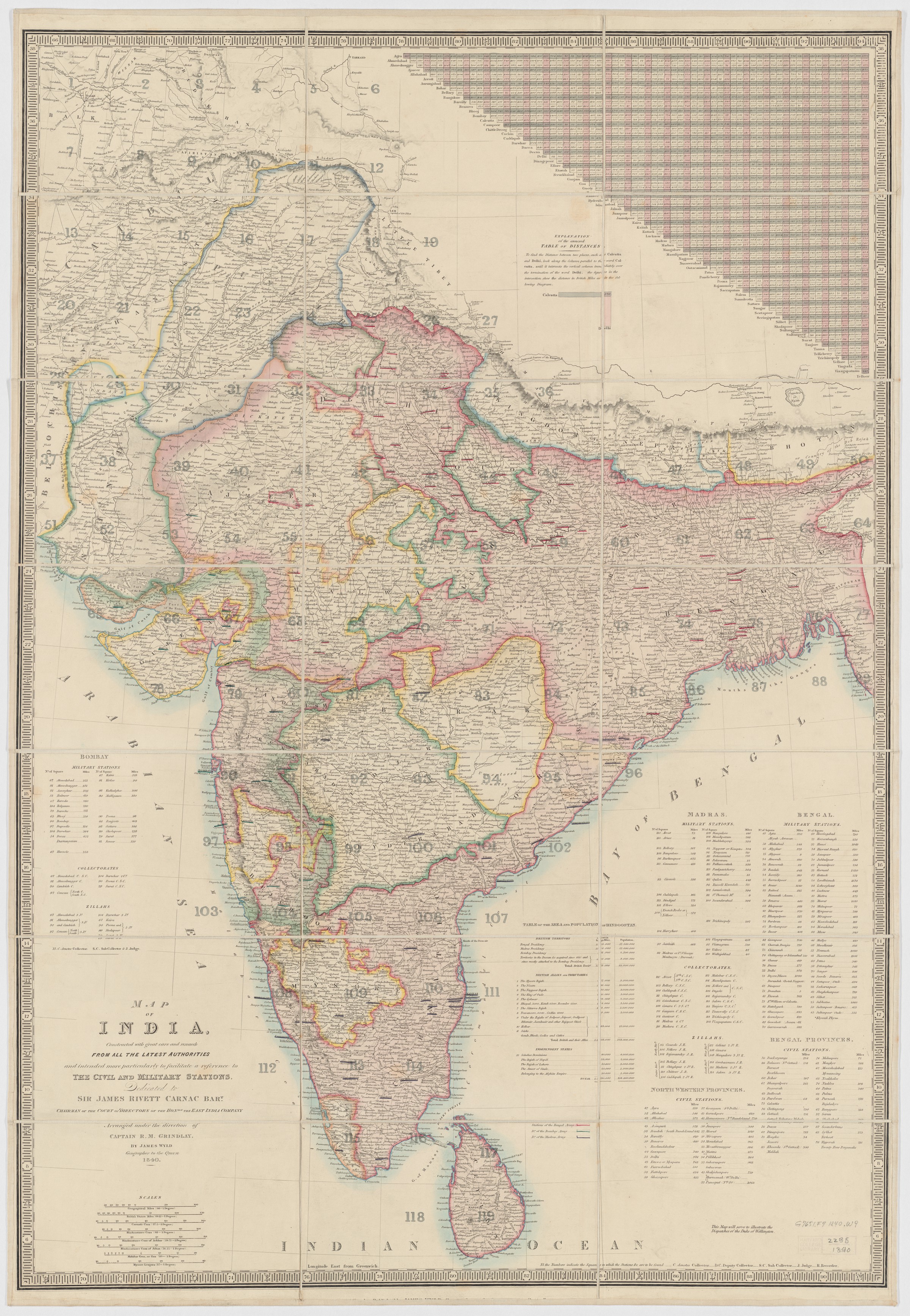 | 2,400 × 3,471 (2.72 MB) | smartcommons>Raju Babu | Uploaded a work by Wyld James from https://curiosity.lib.harvard.edu/scanned-maps/catalog/44-990125947390203941 with UploadWizard |
File usage
The following page uses this file:
