


File:Map indianized kingdoms indochina.jpg

Size of this preview: 220 × 229 pixels. Other resolutions: 230 × 240 pixels | 963 × 1,003 pixels.
Original file (963 × 1,003 pixels, file size: 223 KB, MIME type: image/jpeg)

Summary
| DescriptionMap indianized kingdoms indochina.jpg |
English: Map of indianized kingdoms of Indochina (1st to IXth centuries AC). |
| Date | |
| Source | Own work |
| Author | Emmanuel de Chambost (France) |
| Permission (Reusing this file) |
This map of indianized kingdoms, created by myself of Indochina is in the public domain without any restriction. EdC, June 18th 2006 |
Licensing
| Public domainPublic domainfalsefalse |

|
I, the copyright holder of this work, release this work into the public domain. This applies worldwide. In some countries this may not be legally possible; if so: I grant anyone the right to use this work for any purpose, without any conditions, unless such conditions are required by law. |
Captions
Add a one-line explanation of what this file represents
File history
Click on a date/time to view the file as it appeared at that time.
| Date/Time | Thumbnail | Dimensions | User | Comment | |
|---|---|---|---|---|---|
| current | 20:41, 18 June 2006 | 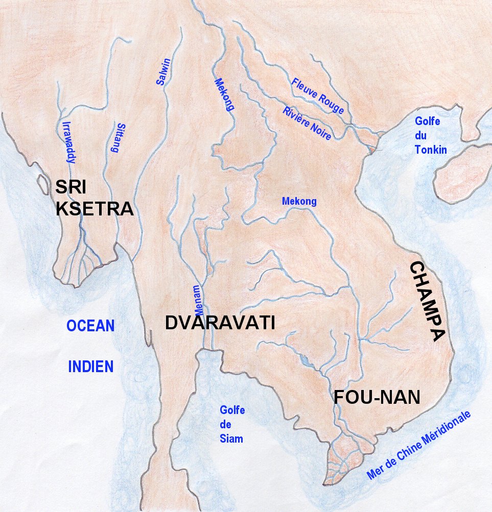 | 963 × 1,003 (223 KB) | smartcommons>EdC | == Summary == {{Information |Description= Map of indianized kingdoms of Indochina (1st to IXth centuries AC) |Source=Created by the author |Date= June 16th 2006 |Author=Emmanuel de Chambost (France) |Permission=This map of indianized kingdoms, created by |
File usage
There are no pages that use this file.
