


File:MAREDUMILLI - forest area.jpg

Size of this preview: 220 × 309 pixels. Other resolutions: 171 × 240 pixels | 3,289 × 4,620 pixels.
Original file (3,289 × 4,620 pixels, file size: 4.85 MB, MIME type: image/jpeg)

Summary
| DescriptionMAREDUMILLI - forest area.jpg |
English: Maredumilli is considered to be one of the most scenic spots in south-eastern India located in Andhra Pradesh. The Maredumilli Forests of East Godavari District are rich in biodiversity and are filled with undulating terrain, which forms part of the Eastern Ghats. It is a place of wildlife, nature, trekking camps, waterfalls and of tribal people who are out to win your heart with their hospitality. This forest area is conserved and developed by the tribal who have habituated the lands for generations. Fed by the waters of the Godavari River, the semi-evergreen forests of the village make it a wonderful place to have some adventure in the wild and immerse oneself with nature. Maredumilli is famous for its bamboo chicken which savours the surrounding beauty of that place. |
| Date | |
| Source | Own work |
| Author | S. Sri Harsha |
| Camera location |  | View this and other nearby images on: OpenStreetMap |  17.606483; 81.704452 17.606483; 81.704452 |
|---|

Licensing
I, the copyright holder of this work, hereby publish it under the following license:


This file is licensed under the Creative Commons Attribution-Share Alike 4.0 International license.
- You are free:
- to share – to copy, distribute and transmit the work
- to remix – to adapt the work
- Under the following conditions:
- attribution – You must give appropriate credit, provide a link to the license, and indicate if changes were made. You may do so in any reasonable manner, but not in any way that suggests the licensor endorses you or your use.
- share alike – If you remix, transform, or build upon the material, you must distribute your contributions under the same or compatible license as the original.

|
This image was uploaded as part of Wiki Loves Earth 2017.
|
 |
Captions
Add a one-line explanation of what this file represents
File history
Click on a date/time to view the file as it appeared at that time.
| Date/Time | Thumbnail | Dimensions | User | Comment | |
|---|---|---|---|---|---|
| current | 00:13, 29 June 2017 | 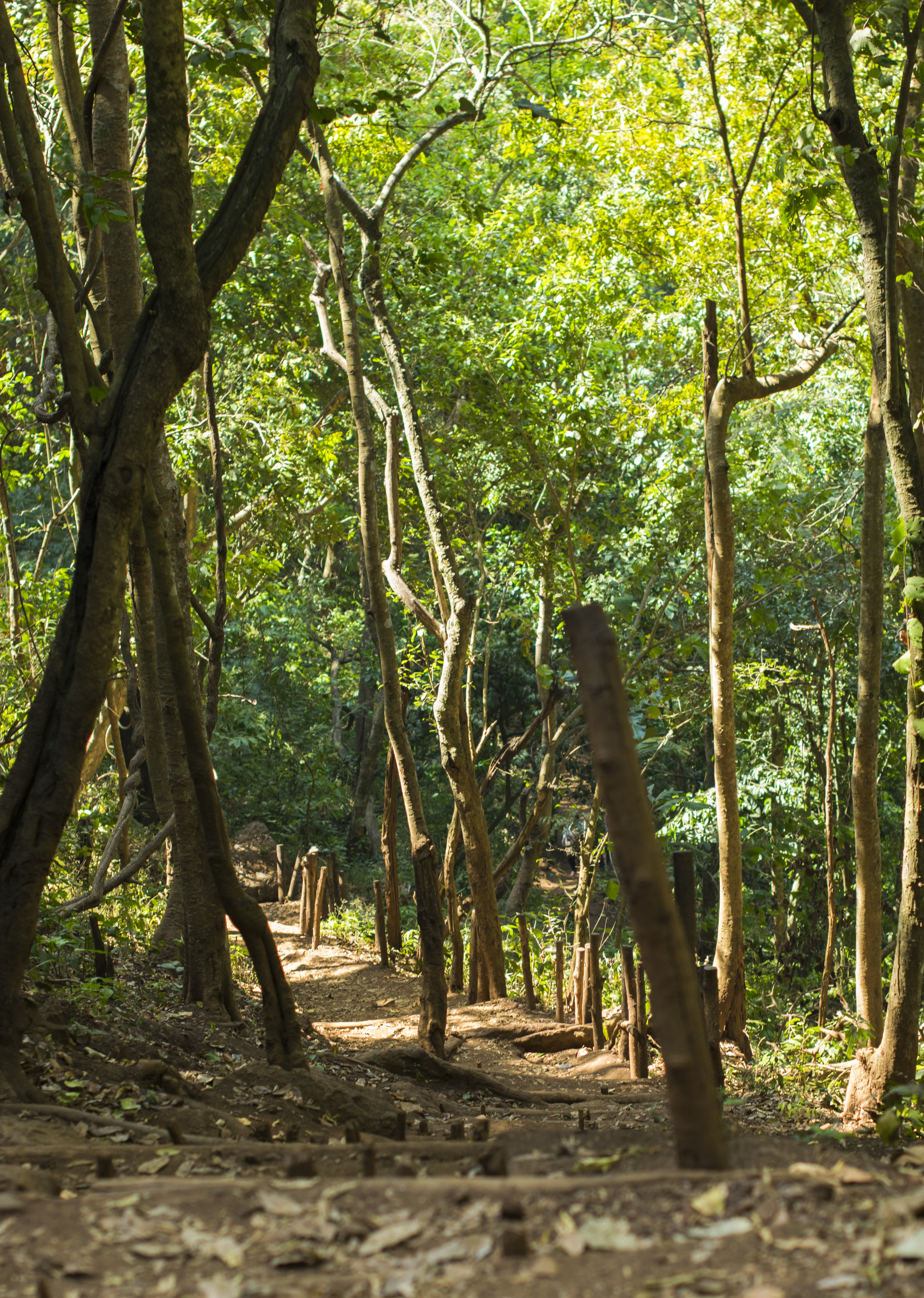 | 3,289 × 4,620 (4.85 MB) | (username removed) |
File usage
There are no pages that use this file.
